Skip to search results
loaded 53 results
Southeast Maps
(53 products)Products (53)
Sort: Best Match
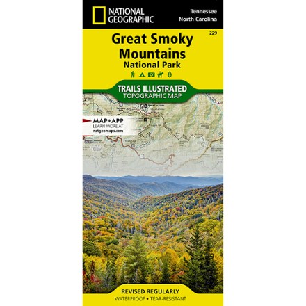
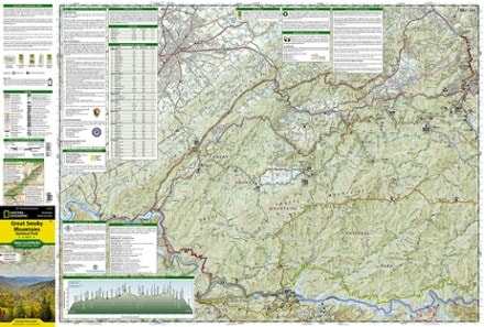
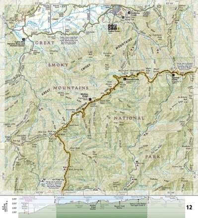
- National GeographicGreat Smoky Mountains National Park Trail MapTop Rated$14.95
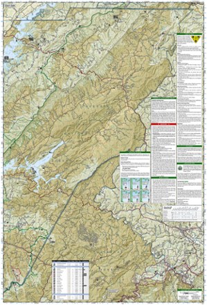
- National GeographicNantahala and Cullasaja Gorges Trail Map$14.95
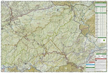
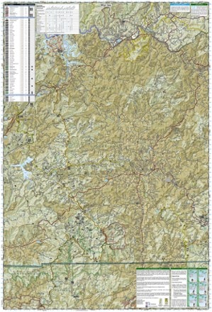
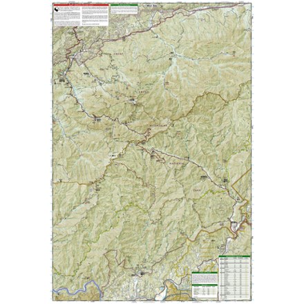
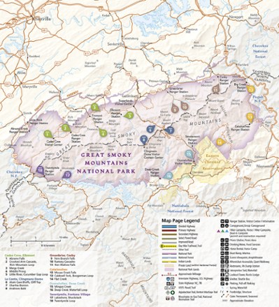
- National GeographicGreat Smoky Mountains National Park West Map$11.95
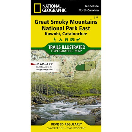
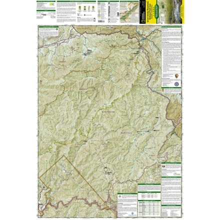
- National GeographicGreat Smoky Mountains National Park East Map$11.95
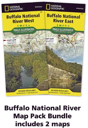
- National GeographicBuffalo National River Map Pack$24.95
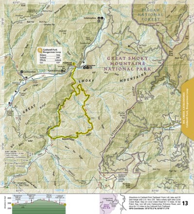
- National GeographicGreat Smoky Mountains National Park Day Hikes Topographic Map Guide$14.95
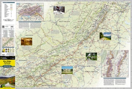
- National GeographicBlue Ridge Parkway Destination Map$14.95
- DeLormeTennessee Atlas and Gazetteer$29.95
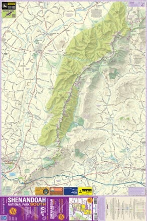
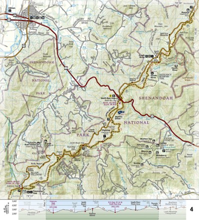
- Purple Lizard MapsShenandoah National Park Map: South$17.95
- National GeographicSpringer and Cohutta Mountains Topographic Map$14.95
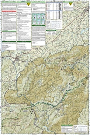
- National GeographicCherokee and Pisgah National Forests Topographic Map$14.95
- Benchmark MapsSouthern Appalachians Road & Recreation Atlas - 2nd Edition$29.95
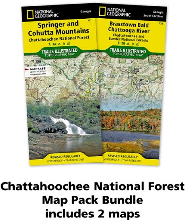
- National GeographicChattahoochee Topographic Map Pack$24.95
- National GeographicDuPont State Recreational Forest Topographic Map$11.95
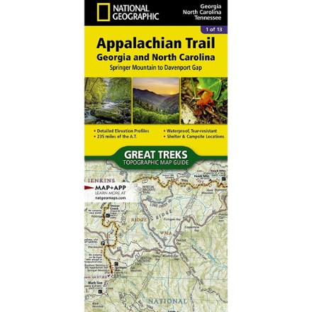
- National GeographicAppalachian Trail: Georgia and North Carolina Topographic Map GuideTop Rated$14.95
- DeLormeVirgina Atlas and Gazetteer$29.95
- National GeographicAppalachian Trail: Virginia North Map Guide$14.95
- DeLormeGeorgia Atlas and Gazetteer$29.95
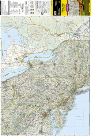
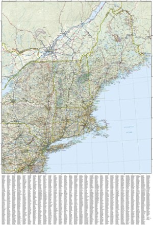
- National GeographicUnited States Northeast Adventure Travel Map$14.95
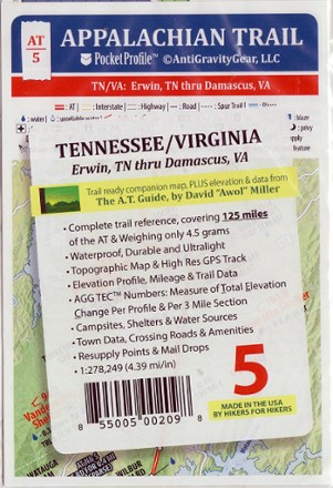
- AntiGravityGearAppalachian Trail Pocket Profile Map: Tennessee/Virginia (Erwin, TN - Damascus, VA)$4.95

Earn 15% in total rewards
Get 5% on all REI Co-op purchases plus the 10% Co-op Member Reward you earn on eligible full-price purchases.
Apply now
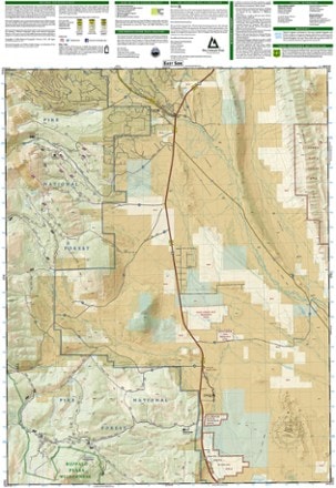
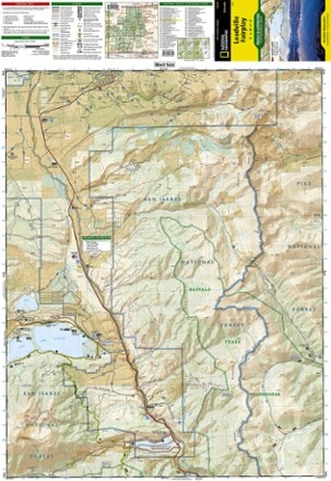
Terms apply- National GeographicLeadville Fairplay Topographic Map$14.95
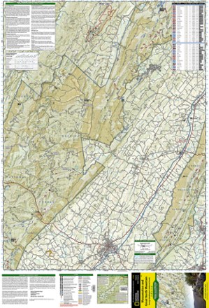
- National GeographicMassanutten and Great North Mountain Trail Map$14.95
- National GeographicMount Rogers National Recreation Area Map$14.95
- DeLormeNorth Carolina Atlas and Gazetteer$29.95
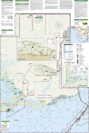
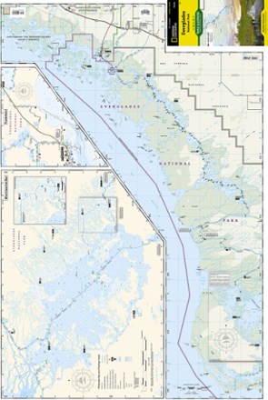
- National GeographicEverglades National Park Map$14.95
- National GeographicAppalachian Trail Map Pack: Georgia, North Carolina and Tennessee$24.95
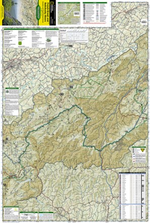
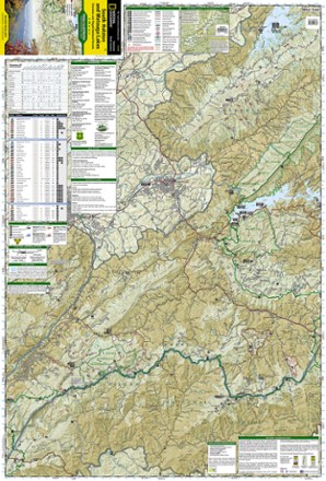
- National GeographicCherokee and Pisgah National Forests - South Holston and Watauga Lakes Trail Map$14.95
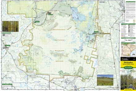
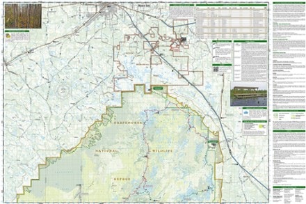
- National GeographicOkefenokee National Wildlife Refuge Topographic Map$14.95
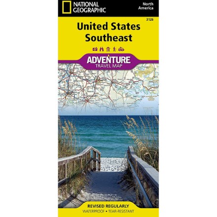
- National GeographicUnited States Southeast Adventure Travel Map$14.95
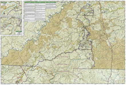
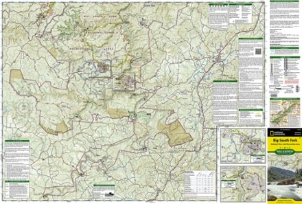
- National GeographicBig South Fork National Recreation Area Trail Map$14.95


1–30 of 53 products
Sort: Best Match