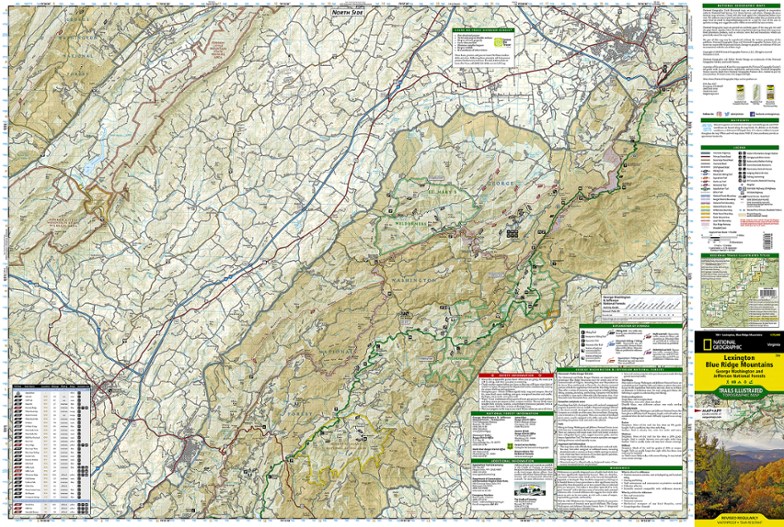
National Geographic Lexington/Blue Ridge Mountains Trail Map
This colorful Trails Illustrated folded map offers detailed coverage of the Lexington and Blue Ridge Mountains areas in Virginia.
- Lists valuable wilderness tips and Leave No Trace guidelines, along with updated trails, trailheads, points of interest, campgrounds and much more
- Printed on waterproof, tear-resistant material with a plastic coating that offers supreme durability for your next outdoor adventure
- Includes selected waypoints in both lat./lon. and UTM coordinate systems as well as GPS-compatible UTM grid lines for easy navigation
- Measures 9.25 x 4.25 in. folded and 37.75 x 25.5 in. fully opened; scale of 1:75,000
Made in USA.
| Best Use | Hiking |
|---|---|
| State / Province | Virginia |
| Copyright Year | 2020 |
| Map Number | 789 |
Write a Review
Adding a review will require a valid email for verification
Exceptional quality, good detail
I own many (most?) of the NatGeo maps for the Appalachians between GA and VA. I have found them to be of exceptional quality. The "paper" almost feels like plastic, and the maps are certainly water-resistant. I've had them get damp on backpacking trips, and there are minor issues with sticking but they have never been damaged. After using them for several years in areas I am familiar with, I can say that they are quite good on content. I've only ever identified a small number of missing trails. These maps are large scale, so some fine details disappear or are distorted in the translation to paper. While they are no substitute for detailed, local trail maps, the larger scale is perfect for planning longer routes or travel between nearby sites. My only complaint (if it qualifies!) is that they can be difficult to "customize." I tried marking a 350-mile bikepacking route using a highlighter. Even after leaving the map unfolded overnight, the highlighter had not fully adhered to the map (it still appeared wet) and transferred to unintended areas when the map was folded.

