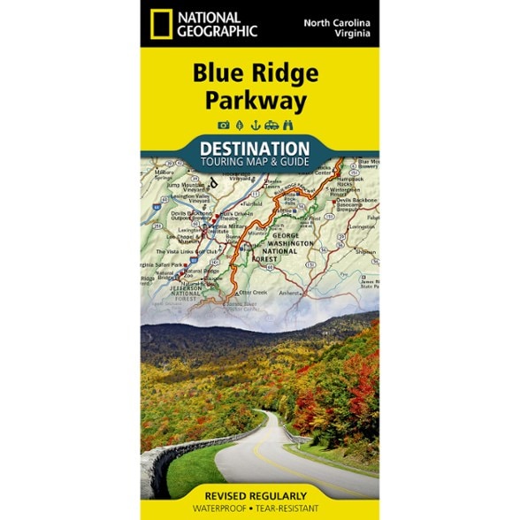

National Geographic Blue Ridge Parkway Destination Map
This product is not available.
The National Geographic Blue Ridge Parkway Destination Map guides you along this winding route that traverses some of America's most picturesque scenery.
Shop similar products- Combining the Parkway and Skyline Drive through Shenandoah National Park, this map and guide covers a travel experience of almost 600 miles
- Contains comprehensive road networks, infrastructure and natural, historical and cultural places
- Stunning photography and valuable travel tips inspire travelers and help with pre-trip planning and on-the-ground adventures
- 1:800,000 scale
- Printed in the USA on a durable, lightweight, waterproof and tear-resistant material designed to withstand the rigors of travel
- Folded dimensions: 4.25 x 9.25 in.; Unfolded dimensions: 25.5 x 37.75 in.
- National Geographic Maps; copyright 2015
Made in USA.
View all National Geographic Southeast Maps| Best Use | Travel |
|---|---|
| State / Province | Virginia North Carolina |
Write a Review
Adding a review will require a valid email for verification
Location:Glen Allen, VA
Age:65–74
2 months ago
Not to the same scale as other Nat Geo trail maps.
I was hoping for a bit more detail on side hikes. Scale too small. They fit the entire BRP on one side with additional stuff all the way to the Smokies and backup to Shenandoah. Live and learn.
Age:65–74
11 months ago
3 years ago
5 years ago