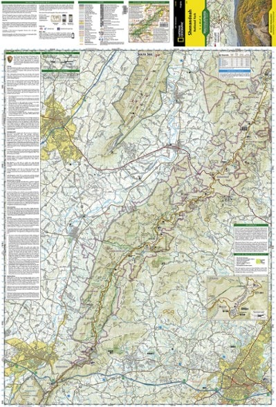
National Geographic Shenandoah National Park Map
The Trails Illustrated Shenandoah National Park map offers clear, detailed coverage of the natural escape that's just 75 miles from the hustle and bustle of Washington, D.C.
- Includes hiking and horse trails, the Appalachian Trail, waterfall hikes, wilderness areas and Skyline Drive
- Printed on waterproof, tear-resistant material with a plastic coating for exceptional durability
- Includes selected waypoints in both lat./lon. and UTM coordinate systems as well as GPS-compatible UTM grid lines for easy navigation
- Scale of 1:75,000 and 1:37,500
- National Geographic Maps; copyright 1991; revised 2007
Made in USA.
View the National Geographic Trails Illustrated Product LineView all National Geographic Southeast Maps| Best Use | Hiking |
|---|---|
| State / Province | West Virginia Virginia |
| Map Number | 228 |
Write a Review
Adding a review will require a valid email for verification
Map great
Great map.. sorry to say, better than the PATC map.
Great Hiking Map!
Moved to VA and love this map. Used it within a week at Shenandoah NP. Great details and great for hiking with kids and near rovers&waterfalls. Kid and water proof :)
Great Map
This is a very good map of the park,its made of a water repelling type of material and has all the imfo you will need while traveling in the park.
Easy to read
I love these maps - easy to read and have all the information you need. Good material too.
2022 section hike prep
It's all in the planning, logistics and state of mind

