DeLorme Virgina Atlas and Gazetteer
Covering the Old Dominion State in fine detail from Chesapeake Bay to the Blue Ridge Mountains , the DeLorme Virginia Atlas and Gazetteer is a travel essential for planning your next trip.
- Amazingly detailed and beautifully crafted, large-format paper map perfect for sightseeing, exploring back roads, outdoor recreation and trip planning
- Topographic maps show elevation contours, major highways and roads, dirt roads, trails and land use data
- Includes info on points of interest, landmarks, state/national parks, campgrounds, boat launches, golf courses, historic sites, hunting zones, canoe trips and scenic drives
Imported.
View all DeLorme Southeast Maps| Best Use | Navigating |
|---|---|
| State / Province | Virginia |
| Folded Dimensions | 15.5 x 11 x 1 inches |
| Unfolded Dimensions | 15.5 x 22 x 1 inches |
| Map Scale | 1:140,000 |
| Double Sided | Yes |
| Waterproof | Yes |
| Publisher | Garmin |
| Copyright Year | 2021 |
Write a Review
Adding a review will require a valid email for verification
Customer Images
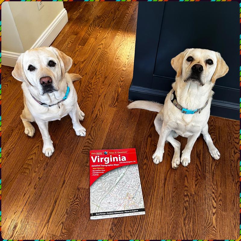
Virginia Map!
I recently moved to Virginia, and needed a map of Virginia so I could go exploring!! So I went to my local Virginia REI and then BAM!!!! I had a brand new set of maps to go adventuring!!! Best day ever!!

