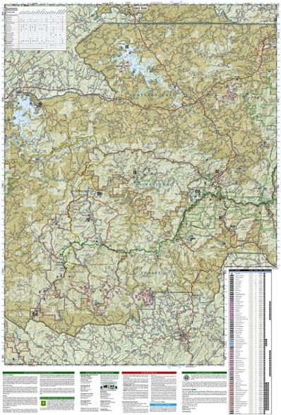
National Geographic Springer and Cohutta Mountains Topographic Map
The detailed Trails Illustrated Springer and Cohutta Mountains topographic map leads you to an abundance of recreational opportunities in the Chattahoochee National Forest, just north of Atlanta.
- Expertly researched and created in partnership with local land management agencies
- Includes Blue Ridge, Nottely and Conasauga lakes, Fort Mountain and Amicalola state parks, Whissenhunt Mountain, Coosawattee Wildlife Management Area and Ed Jenkins NRA
- Easy-to-read, yet highly detailed map shows comprehensive trail and road networks, along with designated trails for hiking, horseback riding, biking and more
- Clearly marked navigational aids with UTM coordinate grids, scale bar and full legend, essential for safely navigating the backcountry with GPS or compass
- Features key points of interest such as scenic views, campgrounds, trailheads, boat launches and picnic sites
- Color-coded boundaries for public lands including national parks, national forests, national monuments, ranger districts, wilderness areas, state parks and wildlife refuges
- 1:70,000 scale
- Printed in the USA on durable, lightweight, waterproof and tear-resistant material designed to withstand all weather conditions
- Folded dimensions: 4.25 x 9.25 in.; unfolded dimensions: 25.5 x 37.75 in.
- National Geographic Maps; copyright 2009
Made in USA.
View the National Geographic Trails Illustrated Product LineView all National Geographic Southeast Maps| Best Use | Hiking |
|---|---|
| State / Province | Tennessee Georgia |
| Map Number | 777 |
Write a Review
Adding a review will require a valid email for verification
NatGeo Map
NatGeo maps never disappoint. Feeling better prepared for N. Georgia and discovered a few trails and roads that I plan on exploring well down there. The packaging was definitely excessive but map arrived intact and without creases.

