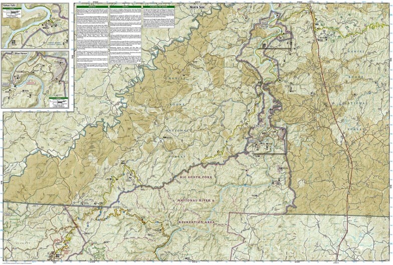
National Geographic Big South Fork National Recreation Area Trail Map
This product is not available.
This National Geographic Trails Illustrated folded map offers comprehensive coverage of Kentucky's Big South Fork National River and Recreation Area.
Shop similar products- Provides valuable wilderness tips and Leave No Trace guidelines, along with updated trails, trailheads, points of interest, campgrounds and much more
- Printed on waterproof, tear-resistant material with a plastic coating that offers the durability needed for outdoor use
- Includes selected waypoints in both lat./lon. and UTM coordinate systems as well as GPS-compatible UTM grid lines for easy navigation
- Measures 9.25 x 4.25 in. folded and 37.75 x 25.5 in. fully opened; scale of 1:45,000
- National Geographic Maps; copyright 1995 (revised 2022)
Made in USA.
View the National Geographic Trails Illustrated Product LineView all National Geographic Southeast Maps| Best Use | Hiking |
|---|---|
| State / Province | Kentucky |
| Folded Dimensions | 9.25 x 4.25 inches |
| Unfolded Dimensions | 37.75 x 25.5 inches |
| Map Scale | 1:45,000 |
| Double Sided | Yes |
| Waterproof | Yes |
| Publisher | National Geographic |
| Map Number | 241 |
Write a Review
Adding a review will require a valid email for verification
I just really love maps
I love these maps because they are durable and waterproof. I am very serious about being prepared while on the trail, and I never go without one of these guys. They have never let me down.
Good Map
Map served its purpose well when hiking. I do, however, prefer older versions of Trails Illustrated maps, which showed more detail due to different scale.

