Skip to search results
loaded 63 results
Colorado Maps
(63 products)Products (63)
Sort: Best Match
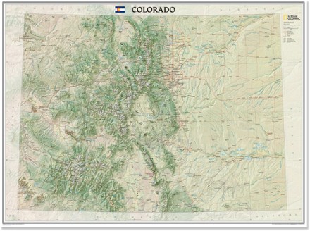
- National GeographicColorado Wall Map - Tubed$24.95
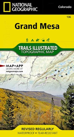
- National GeographicGrand Mesa Trail Map$14.95
- DeLormeColorado Atlas and Gazetteer$29.95
- National GeographicWinter Park Map - Local Trails$11.95
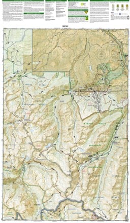
- National GeographicTarryall Mtns. / Kenosha Pass Topographic Map$14.95
- National GeographicMaroon Bells/Redstone/Marble Trail Map$14.95
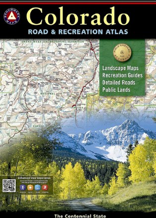
- Benchmark MapsColorado Road & Recreation Atlas - 7th EditionTop Rated$26.95
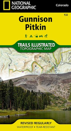
- National GeographicGunnison / Pitkin Topographic Map$14.95
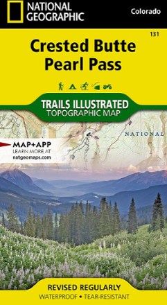
- National GeographicCrested Butte Pearl Pass Map$14.95
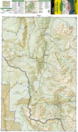
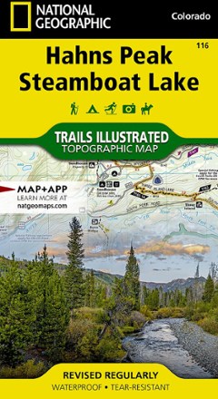
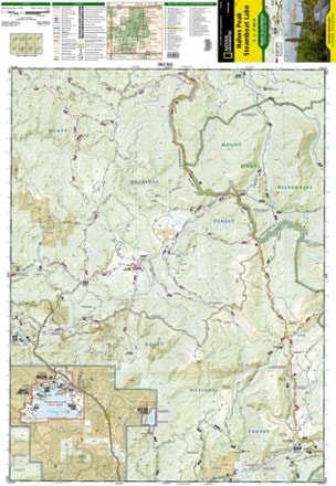
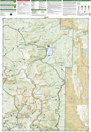
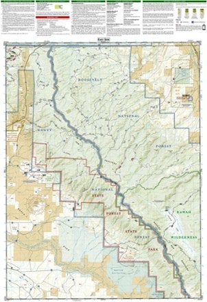
- National GeographicHahns Peak/Steamboat Lake Trail Map$14.95
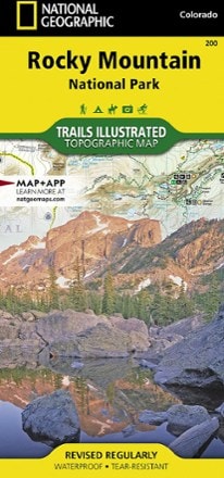
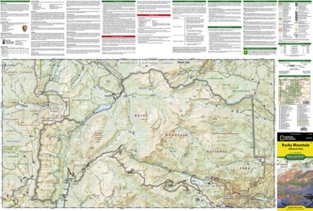
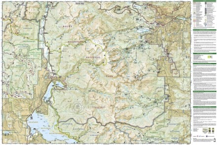
- National GeographicRocky Mountain National Park Trail MapTop Rated$14.95
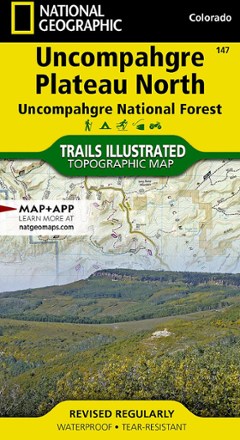
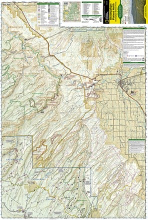
- National GeographicUncompahgre Plateau North: Uncompahgre National Forest Topographic Map$14.95
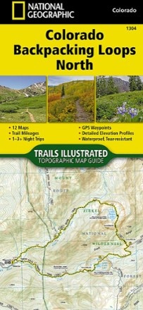
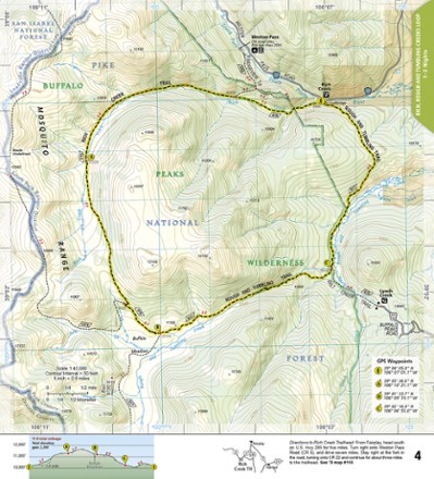
- National GeographicColorado Backpacking Loops North Topographic Map Guide$14.95
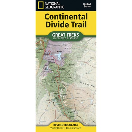
- National GeographicContinental Divide Trail Overview and Planning Map$14.95
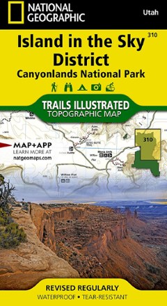
- National GeographicIsland in the Sky District: Canyonlands National Park Topographic Map$11.95
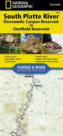
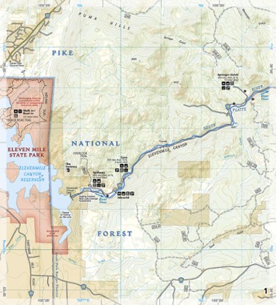
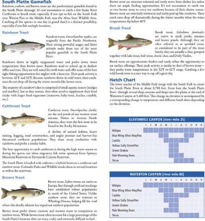
- National GeographicSouth Platte River Fishing & River Recreation Map Guide: Elevenmile Canyon Reservoir to Chatfield Reservoir$14.95
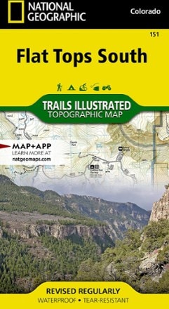
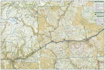
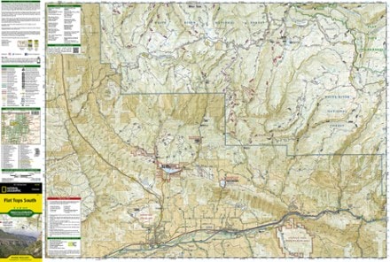
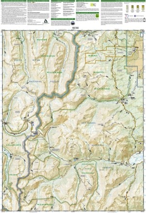
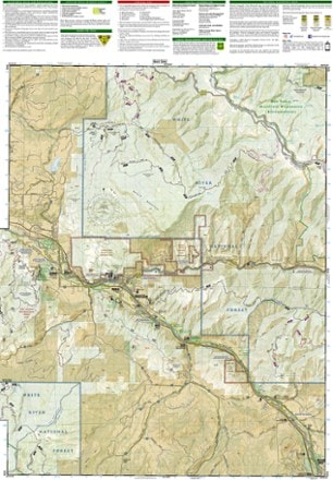
- National GeographicFlat Tops South Topographic Map$14.95
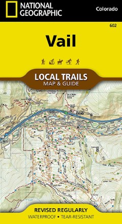
- National GeographicVail Local Trails Map & Guide$11.95
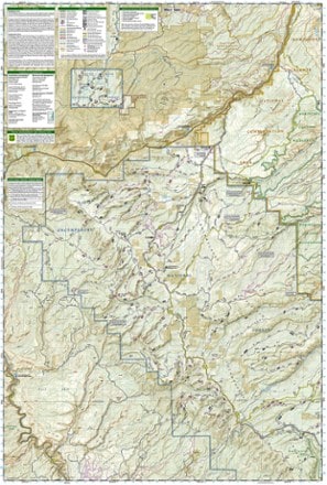
- National GeographicUncompahgre Plateau South Topographic Map$14.95
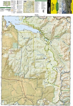
- National GeographicIndian Peaks/Gold Hill Trail Map$14.95

Earn 15% in total rewards
Get 5% on all REI Co-op purchases plus the 10% Co-op Member Reward you earn on eligible full-price purchases.
Apply now
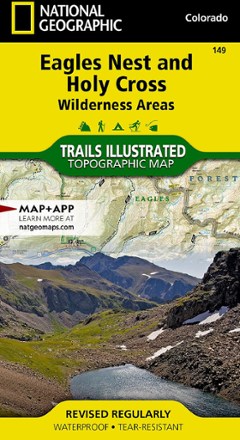
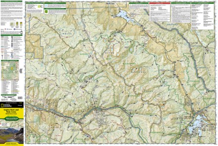
Terms apply- National GeographicEagles Nest and Holy Cross Wilderness Areas Topographic Map$14.95
- Outdoor Trail MapsColorado Greenhorn Mountain/Spanish Peaks Wilderness Map$8.95
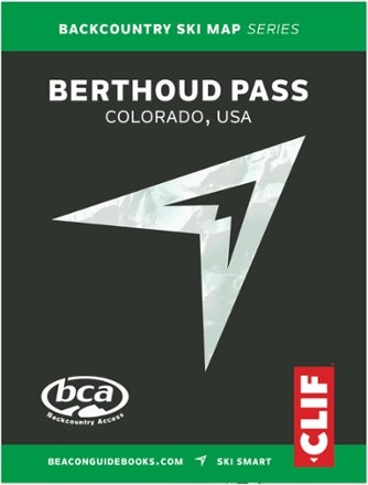
- Beacon GuidebooksBackcountry Ski Map: Berthoud Pass, Colorado$18.00
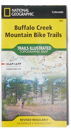
- National GeographicBuffalo Creek Mountain Bike Trails Topographic Map$11.95
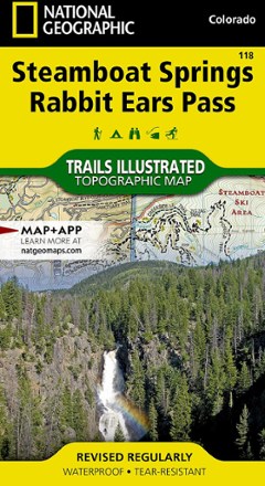
- National GeographicSteamboat Springs/Rabbit Ears Pass Trail Map$14.95
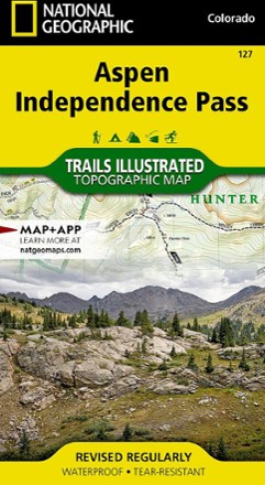
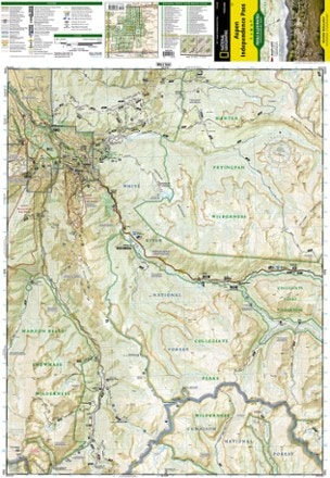
- National GeographicAspen / Independence Pass Topographic Map$14.95
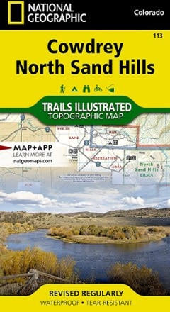
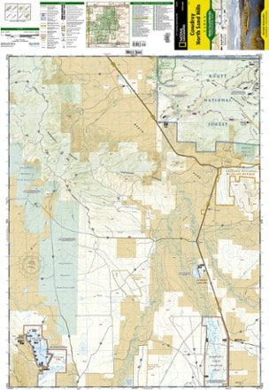
- National GeographicCowdrey/North Sand Hills Trail Map$14.95
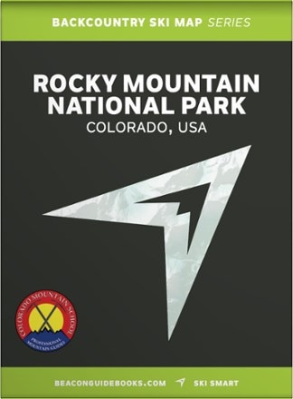
- Beacon GuidebooksBackcountry Ski Map: Rocky Mountain National Park, Colorado$18.00
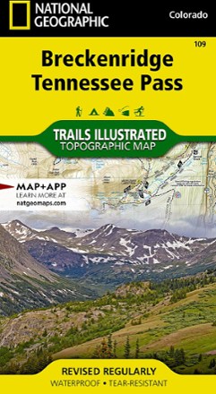
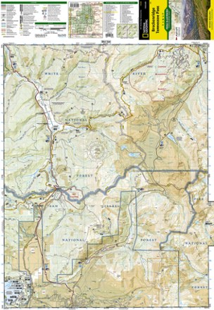
- National GeographicBreckenridge/Tennessee Pass Trail Map$14.95
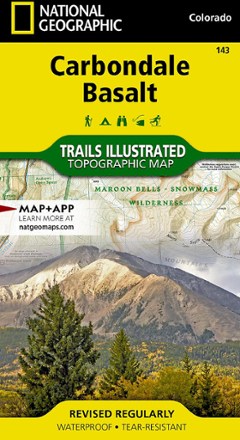
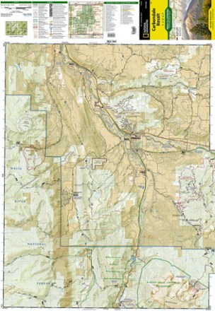
- National GeographicCarbondale/Basalt Trail Map$14.95

1–30 of 63 products
Sort: Best Match