Skip to search results
loaded 94 results
Southwest Maps
(94 products)Products (94)
Sort: Best Match
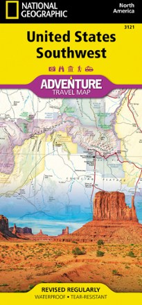
- National GeographicUnited States Southwest Adventure Travel Map$14.95
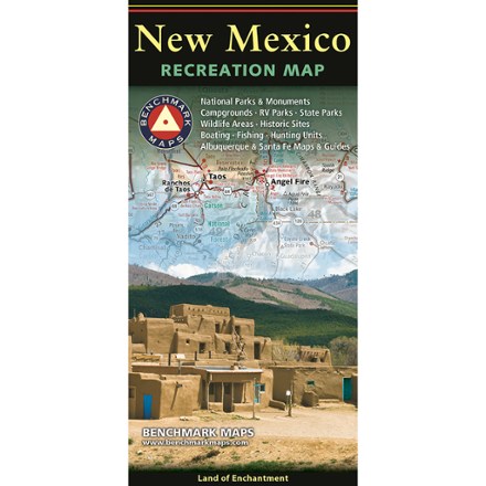
- Benchmark MapsNew Mexico Recreation Map$9.95
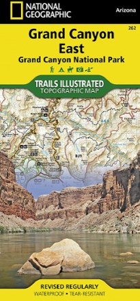
- National GeographicGrand Canyon National Park Trail Map - East$14.95
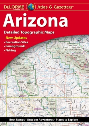
- DeLormeArizona Atlas and Gazetteer$29.95
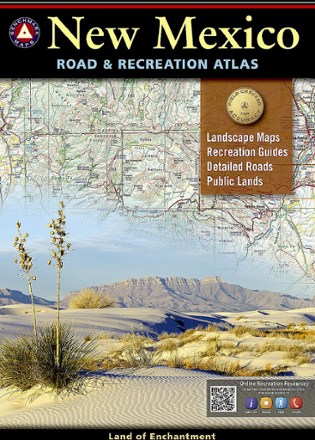
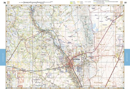
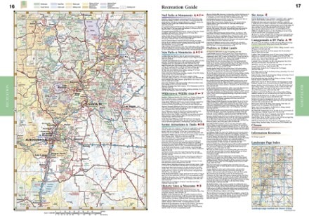
- Benchmark MapsNew Mexico Road & Recreation Atlas - 10th Edition$26.95
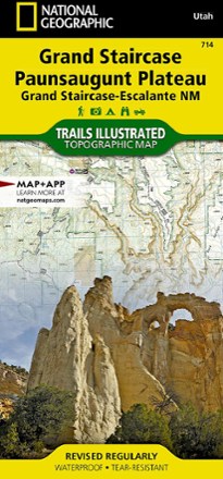
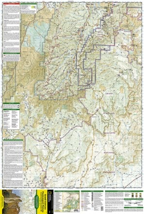
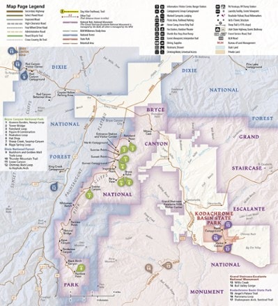
- National GeographicGrand Staircase / Paunsaugunt Plateau Topographic Map$14.95
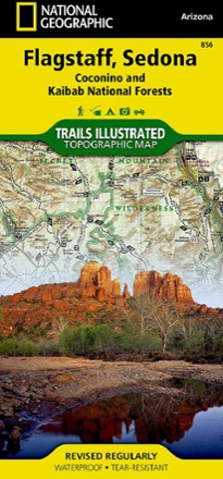
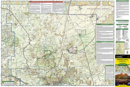
- National GeographicFlagstaff / Sedona Topographic Map$14.95
- DeLormeNew Mexico Atlas and Gazetteer$29.95
- National GeographicBig Bend National Park Map & Day Hikes Map Pack$24.95
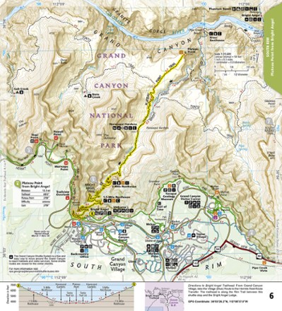
- National GeographicGrand Canyon National Park Day Hikes Topographic Map Guide$14.95
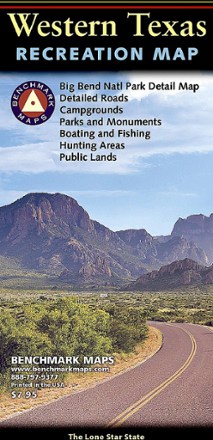
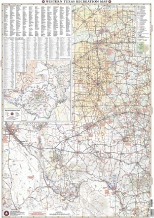
- Benchmark MapsWestern Texas Recreation Map$7.95
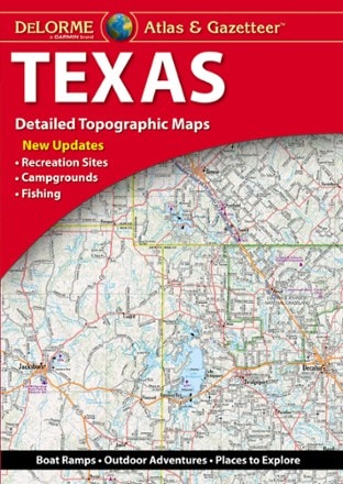
- DeLormeTexas Atlas and Gazetteer$29.95
- National GeographicCarson-Iceberg, Emigrant & Mokelumne Wilderness Areas Topographic Map$14.95
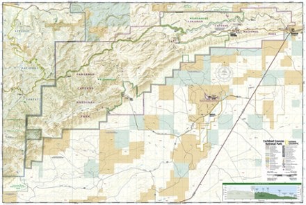
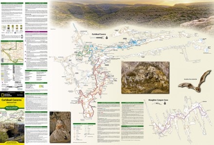
- National GeographicCarlsbad Caverns National Park Topographic Map$14.95
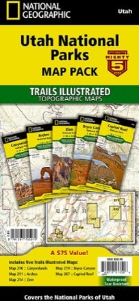
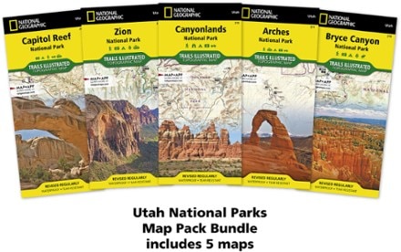
- National GeographicUtah National Parks Map Pack$59.95
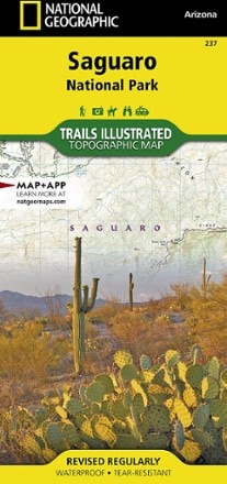
- National GeographicSaguaro National Park Map$14.95
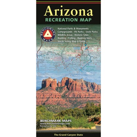
- Benchmark MapsArizona Recreation Map$9.95
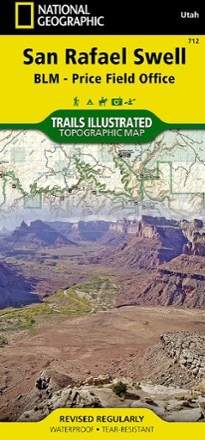
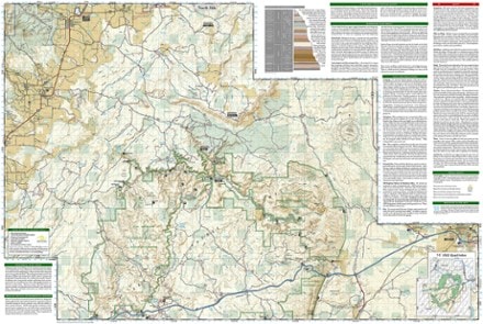
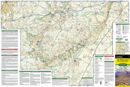
- National GeographicSan Rafael Swell Trail Map$14.95
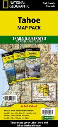
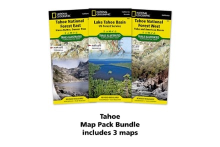
- National GeographicTahoe Map Pack$34.95
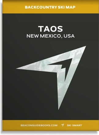
- Beacon GuidebooksBackcountry Ski Map: Taos, New Mexico$18.00

Earn 15% in total rewards
Get 5% on all REI Co-op purchases plus the 10% Co-op Member Reward you earn on eligible full-price purchases.
Apply now
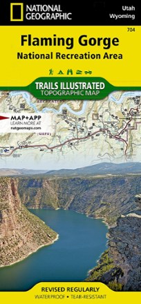
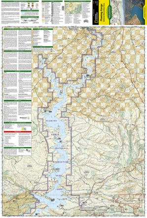
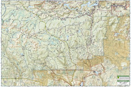
Terms apply- National GeographicFlaming Gorge/Eastern Uintas Trail Map$14.95
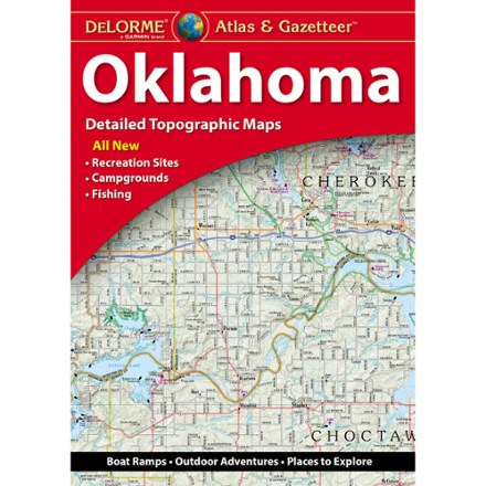
- DeLormeOklahoma Atlas and Gazetteer$29.95
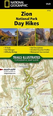
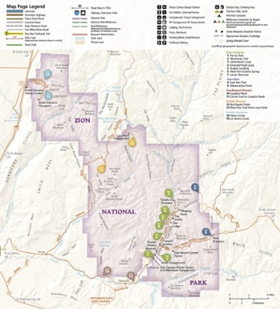
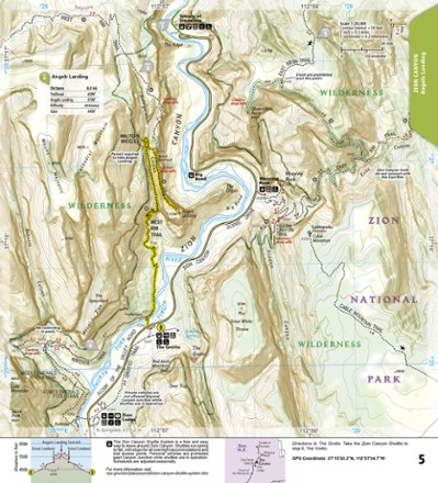
- National GeographicZion National Park Day Hikes Topographic Map Guide$14.95
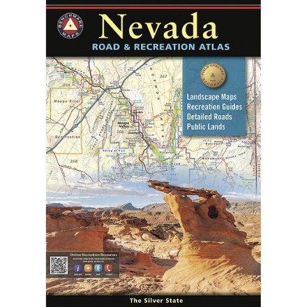
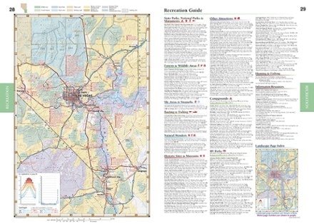
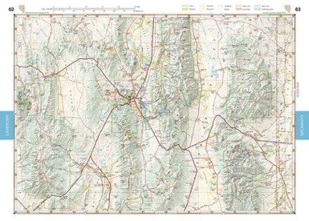
- Benchmark MapsNevada Road & Recreation Atlas$29.95
- Outdoor Trail MapsGila Wilderness West Map$9.95
- National GeographicBryce Canyon National Park Map & Day Hikes Map PackNew arrival$24.95
- National GeographicPrescott National Forest Map Pack$34.95
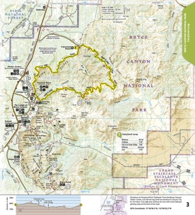
- National GeographicBryce Canyon Day Hikes Map GuideNew arrival$14.95
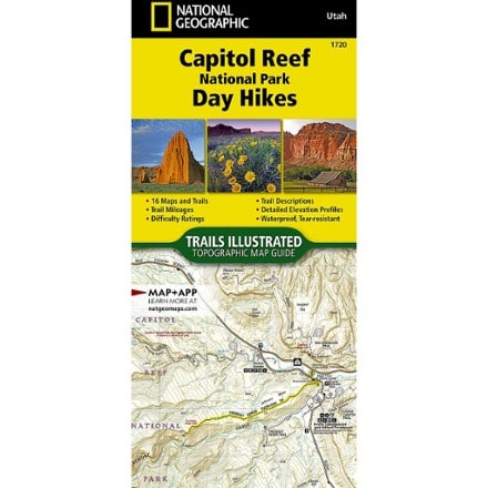
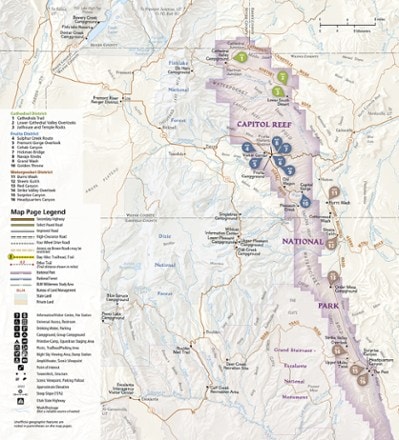
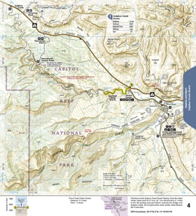
- National GeographicCapitol Reef National Park Day Hikes Map GuideNew arrival$14.95
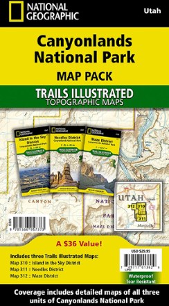
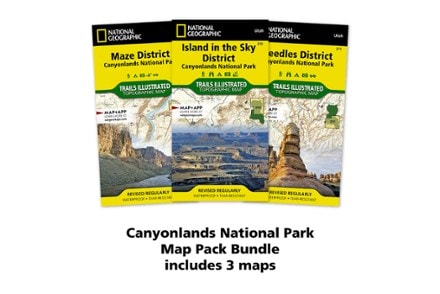
- National GeographicCanyonlands National Park Topographic Map Pack$29.95


1–30 of 94 products
Sort: Best Match