Benchmark Maps Western Texas Recreation Map
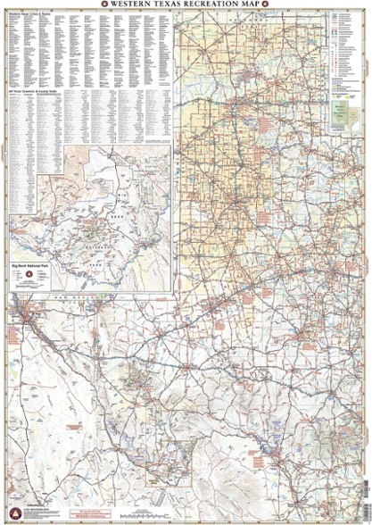
Revealing the richness of recreation potential in the Lone Star State, this Benchmark Maps Western Texas Recreation map is a must-have for traveling around the country's second largest state.
- 1 side provides a Western Texas map featuring land cover (forest, grassland, cropland and wetland), extensive highway detail, point-to-point mileages and recreation sites
- Also provides Roadside America attractions, campgrounds, parks and wildlife areas, boating and fishing access points and public hunting areas
- This side also includes an area map of Big Bend National Park
- The reverse side features categorized recreation listings with helpful descriptions, current contact information and map grid references
Made in USA.
View all Benchmark Maps Southwest Maps| Best Use | Travel |
|---|---|
| State / Province | Texas |
| Folded Dimensions | 9 x 4.25 inches |
| Unfolded Dimensions | 38.25 x 27 inches |
| Map Scale | 1:1,013,760 |
| Double Sided | Yes |
| Publisher | Benchmark Maps |
| Copyright Year | 2020 |
Write a Review
Adding a review will require a valid email for verification
Great Maps
Some of the best maps we have come across. Details are cklear and area covered is excellent.

