
National Geographic Bryce Canyon National Park Map & Day Hikes Map Pack
$24.95
Members get an est. $2.49 in rewards
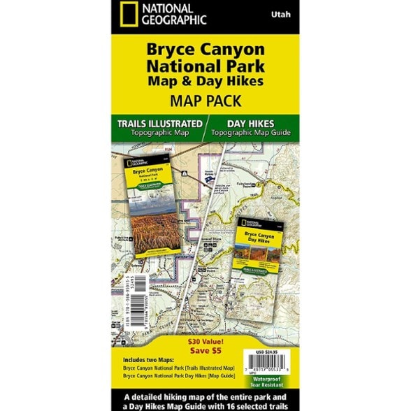
Explore the unique landscape of Bryce Canyon with this National Geographic Trails Illustrated map pack. It has a detailed map of the national park and a day hikes guide.
- This Map Pack includes the Bryce Canyon National Park Trails Illustrated Map and the Bryce Canyon Day Hikes Trails Illustrated Map Guide
- Created in partnership with local land management agencies, the expertly researched Bryce Canyon National Park Map will help you get the most from your visit
- It has backpacking and day hike trail summaries, an accurate road network, trailheads, campgrounds, lodging and scenic viewpoints
- The map features many key points of interest, including Rainbow Point, Ruby's Inn and Natural Bridge
- Portions of Grand Staircase-Escalante National Monument and Dixie National Forest are included as well
- The map includes an inset of Bryce Amphitheater and information on the park's geology, natural history, weather, history and culture, regulations and more
- The Bryce Canyon Day Hikes Map Guide includes 17 diverse hikes for all hiking enthusiasts
- The hikes range in difficulty and distance to help hikers select the best trail for their timing, abilities and location within the parks
- Each hike has a detailed map, a trail profile visualizing the changes in elevation, and a short summary of the interesting features encountered along the trip
- Every Trails Illustrated map is printed on "Backcountry Tough" waterproof, tear-resistant paper
- A full UTM grid is printed on the map to aid with GPS navigation
- Every map purchase helps support the National Geographic Society, an impact-driven nonprofit organization with global reach
- National Geographic Society uses the power of science, exploration, education and storytelling to illuminate and protect the wonder of our world
Made in USA.
View the National Geographic Trails Illustrated Product LineView all National Geographic Mountain West Maps| Best Use | Hiking |
|---|---|
| State / Province | Utah |
| Folded Dimensions | 9.25 x 4.25 x 0.5 inches |
| Unfolded Dimensions | 37.75 x 25.5 inches |
| Map Scale | 1:31,680 and 1:40,000 |
| Double Sided | Yes |
| Waterproof | Yes |
| Publisher | National Geographic |
| Copyright Year | 2025 |
| Map Number | 1286B |
Be the first to write a review!
Adding a review will require a valid email for verification