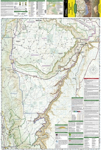
National Geographic Grand Canyon National Park Trail Map - East
This product is not available.
This Trails Illustrated folded map offers comprehensive coverage of the eastern section of Grand Canyon National Park.
Shop similar products- Coverage includes Marble Canyon, Horseshoe Mesa, Kaibab Plateau and Vermillion Cliffs National Monument
- Lists wilderness tips and Leave No Trace guidelines, along with trails, trailheads, points of interest, campgrounds, geologic history and much more
- Printed on waterproof, tear-resistant material with a plastic coating for exceptional durability
- Includes selected waypoints in both lat./lon. and UTM coordinate systems as well as GPS-compatible UTM grid lines for easy navigation
- Measures 9.25 x 4.25 in. folded and 37.75 x 25.5 in. fully opened; scale of 1:90,000
- National Geographic Maps; copyright 2009
Made in USA.
View the National Geographic Trails Illustrated Product LineView all National Geographic Southwest Maps| Best Use | Hiking |
|---|---|
| State / Province | Arizona |
| Map Number | 262 |
Write a Review
Adding a review will require a valid email for verification
Only Map you'll probably need for Grand Canyon NP.
For most people, this is the only map you need for your trip to Grand Canyon National Park. It contains most of the trails in the park (Deer Creek and Tapeats Creek Trails in the West all the way to the eastern boundary) on both the North and South Rim. Other maps might offer a little more detail, but for most people this map will be more than sufficient. The trails have names, mileage, and primitive trails are even marked on the map for advanced hikers. As with all National Geographic Trail Maps, its waterproof and folds up well, so it is good for both planning at home and out on the trail.
Great Quality in a Useful Scale
I have a dozen or more Trails Illustrated maps of various areas in the West. The Grand Canyon East Map was purchased to help with driving to a remote trail head. The scale on TI maps is a good balance for most pursuits--detailed enough for most hikes, yet large enough so you don't run off the map on longer trips (i.e. White Rim Trail in Canyonlands). TI maps anticipate the type of recreation popular in an area then scale to accommodate. It's nice to have a variety of TI maps, some of which overlap--particularly in the Grand Canyon area. Canyonlands/Moab maps also allow some overlap and give a choice of which map works best for whatever you're doing that day. The maps are very durable and stand up to sweat, rain and river trips. Trails Illustrated maps will be continually added to my collection as new maps are released and old maps are updated.
Okay
Did not realize I actually had a map through The Grand Association. That one is more detailed and cheaper than the one purchased at REI.
Magnificent Map
Great detail and a very rugged map. I will be hiking from one edge of the map to the other.

