

Benchmark Maps Nevada Road & Recreation Atlas
$29.95
Members get an est. $2.99 in rewards
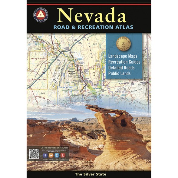
Looking to explore Nevada? This Benchmark Maps road and recreation atlas gives you a complete guide to the Silver State. Detailed maps highlight the area's best recreation and camping spots.
- A complete atlas for home planning and road tripping through the Silver State
- Recreation maps show public land ownership and hunting units, with a categorized guide of parks and forests, historic sites, natural wonders, and camping and RV sites
- Careful and thorough field checking and local research assure users the best Nevada outdoor experience possible
- Includes special metro maps of Las Vegas and Reno, and a dazzling view of Lake Tahoe
- Map scales: Recreation maps 1:850,000 (1 in. = 13.4 miles); Landscape Maps™ 1:280,000 (1 in. = 4.4 miles); metro maps 1:100,000 (1 in. = 1.6 miles)
Imported.
View all Benchmark Maps Mountain West Maps| Best Use | Travel |
|---|---|
| State / Province | Nevada |
| Folded Dimensions | 10.5 x 16 inches |
| Unfolded Dimensions | 21 x 32 inches |
| Map Scale | Recreation maps: 1:850,000; Landscape Maps™: 1:280,000; metro maps 1:100,000 |
| Publisher | Benchmark |
| Copyright Year | 2025 |
Be the first to write a review!
Adding a review will require a valid email for verification