Skip to search results
loaded 113 results
Mountain West Maps
(113 products)Products (113)
Sort: Best Match
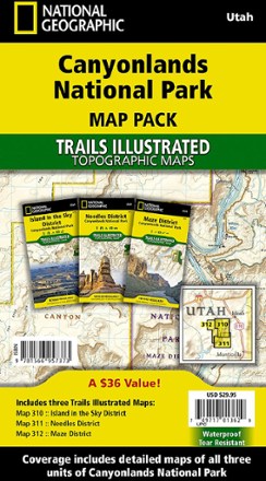
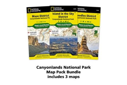
- National GeographicCanyonlands National Park Topographic Map Pack$29.95
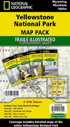
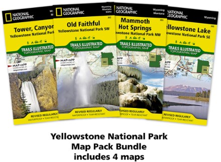
- National GeographicYellowstone National Park Topographic Map Pack$39.95
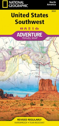
- National GeographicUnited States Southwest Adventure Travel Map$14.95
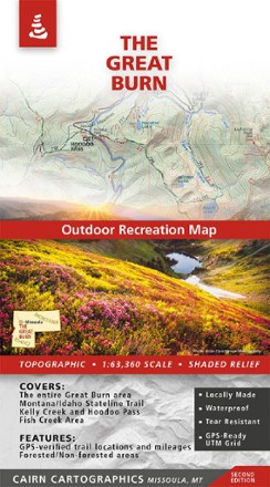
- Cairn CartographicsThe Great Burn Map - 2nd Edition$15.95
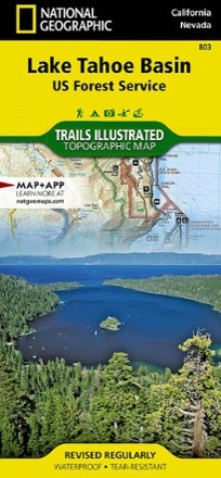
- National GeographicLake Tahoe Basin Trail Map$14.95
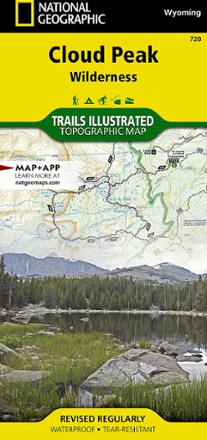
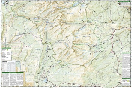
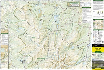
- National GeographicCloud Peak Wilderness Map$14.95
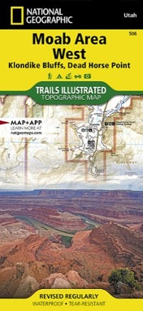
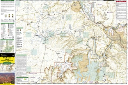
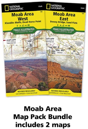
- National GeographicMoab Area West - Klondike Bluffs, Dead Horse Point Map$14.95
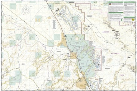
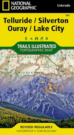
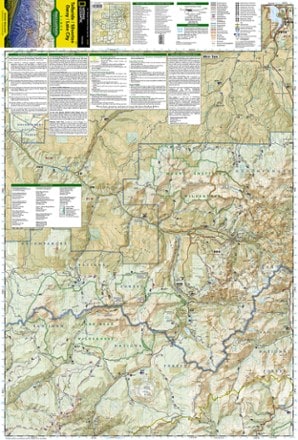
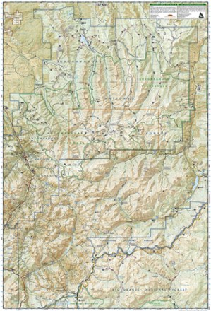
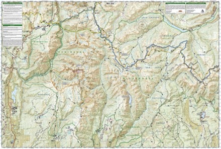
- National GeographicTelluride/Silverton/Ouray/Lake City Trail Map$14.95
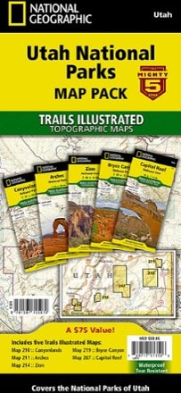
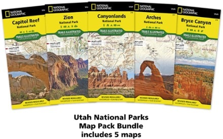
- National GeographicUtah National Parks Map Pack$59.95
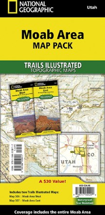
- National GeographicMoab Area Map Pack$24.95
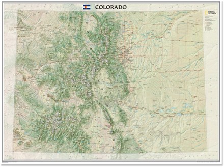
- National GeographicColorado Wall Map - Tubed$24.95
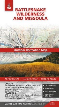
- Cairn CartographicsRattlesnake Wilderness and Missoula Outdoor Recreation Map - 5th Edition$13.95
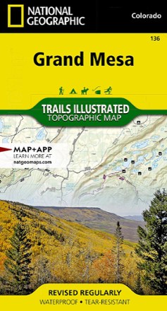
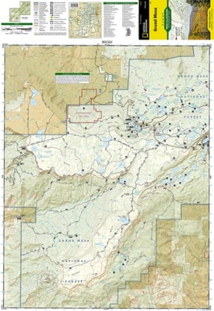
- National GeographicGrand Mesa Trail Map$14.95
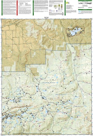
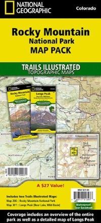
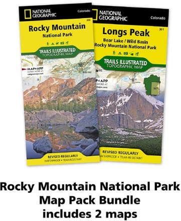
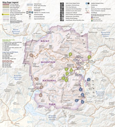
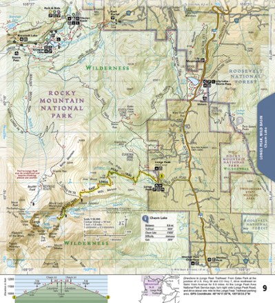
- National GeographicRocky Mountain National Park Topographic Map Pack$21.95
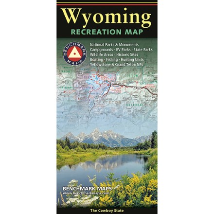
- Benchmark MapsWyoming Recreation Map$9.95
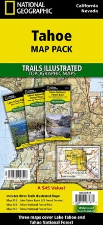
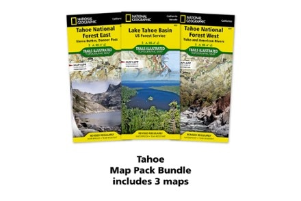
- National GeographicTahoe Map Pack$34.95
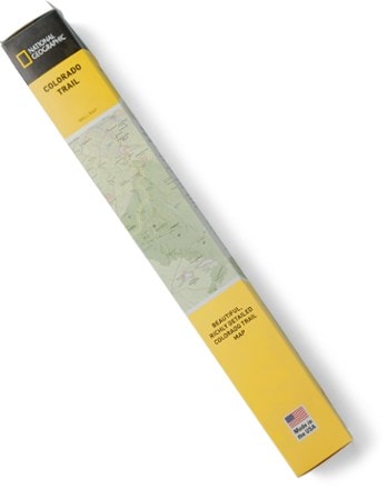
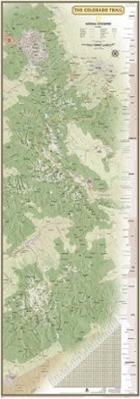
- National GeographicColorado Trail Wall Map$24.95
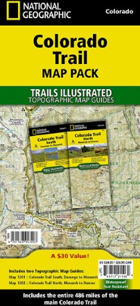
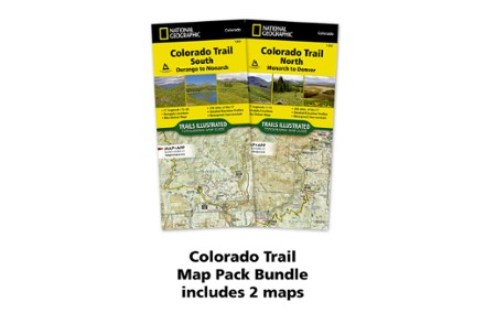
- National GeographicColorado Trail Topographic Map Pack - Set of 2 Map Guides$24.95
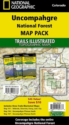
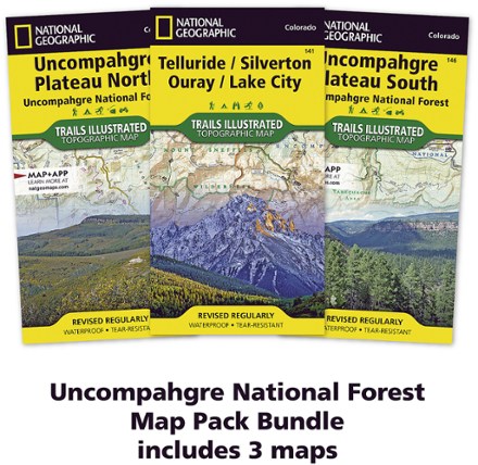
- National GeographicUncompahgre National Forest Map Pack$34.95
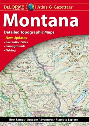
- DeLormeMontana Atlas and Gazetteer$29.95

Earn 15% in total rewards
Get 5% on all REI Co-op purchases plus the 10% Co-op Member Reward you earn on eligible full-price purchases.
Apply now
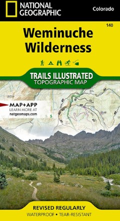
Terms apply- National GeographicWeminuche Wilderness Trail Map$14.95
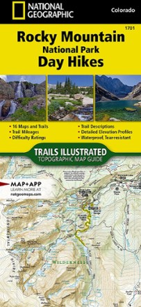
- National GeographicRocky Mountain National Park Day Hikes Topographic Map Guide$14.95
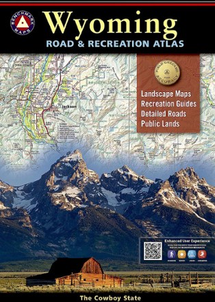
- Benchmark MapsWyoming Road & Recreation Atlas - 4th Edition$26.95
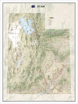
- National GeographicUtah State Wall Map - Tubed$24.95
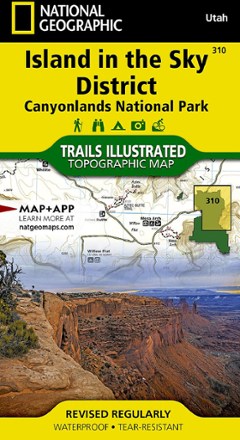
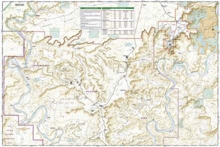
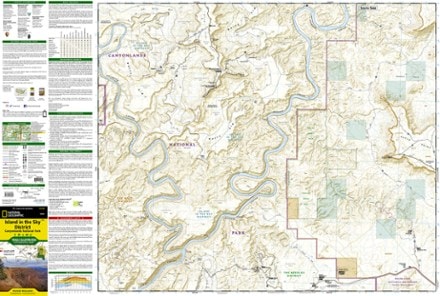
- National GeographicIsland in the Sky District: Canyonlands National Park Topographic Map$11.95
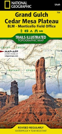
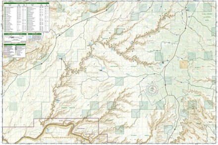
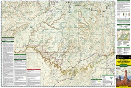
- National GeographicGrand Gulch Plateau Trail Map$14.95
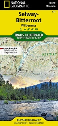
- National GeographicSelway-Bitterroot Wilderness Topographic Map$14.95
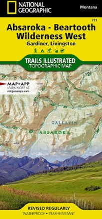
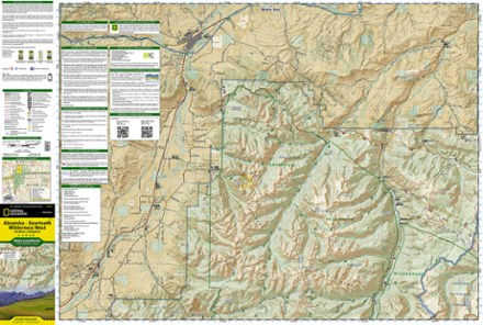
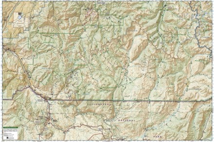
- National GeographicAbsaroka-Beartooth Wilderness West Map$14.95
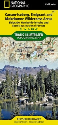
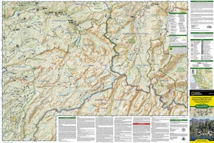
- National GeographicCarson-Iceberg, Emigrant & Mokelumne Wilderness Areas Topographic Map$14.95
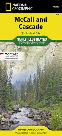
- National GeographicMcCall and Cascade Map$14.95
1–30 of 113 products
Sort: Best Match