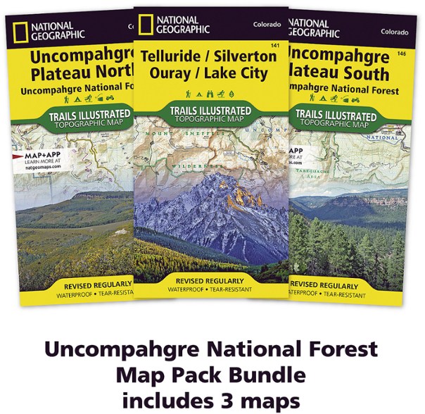
National Geographic Uncompahgre National Forest Map Pack
Plan a getaway to southwestern Colorado with the National Geographic Uncompahgre National Forest map pack. The 3 detailed maps highlight year-round recreational opportunities to get you out exploring.
- The Uncompahgre National Forest Map Pack includes Map 141: Telluride, Silverton, Ouray, Lake City; Map 146: Uncompahgre Plateau South; and Map 147: Uncompahgre Plateau North
- Trails are labeled according to their designated usage, whether exploring on foot, skis, horseback, mountain bike, motorcycle or ATV, including rock crawling trails
- Seasonal roads and trails are labeled with their accessible dates
- Maps display contour lines, elevations, labeled peaks and summits, water features, selected waypoints and color-coded boundaries between different land management agencies
- Recreation activities include areas for camping, fishing, swimming, water skiing and wildlife viewing
- Every Trails Illustrated map is printed on Backcountry Tough waterproof, tear-resistant paper
Made in USA.
National Geographic's Trails Illustrated Map Pack Bundle of Uncompahgre National Forest is created for outdoor enthusiasts exploring the year-round recreational opportunities in this unique area in southwestern Colorado. Expertly researched and created in cooperation with the U.S. Forest Service, Bureau of Land Management and others, the map provides unparalleled detail of Uncompahgre National Forest. Use the mapped trails, OHV routes and Forest Service roads to get off the beaten path and back on again while exploring the area's mesa and canyons.
| Best Use | Hiking Mountain Biking Camping |
|---|---|
| State / Province | Colorado |
| Folded Dimensions | 9.25 x 4.25 inches |
| Unfolded Dimensions | 37.75 x 25.5 inches |
| Map Scale | 1:63,360 |
| Double Sided | Yes |
| Waterproof | Yes |
| Publisher | National Geographic |
| Copyright Year | 2020 |
| Map Number | 141, 146, 147 |
Be the first to write a review!
Adding a review will require a valid email for verification

