Skip to search results
loaded 87 results
Southwest Maps
(87 products)Products (87)
Sort: Best Match
- National GeographicGrand Canyon North and South Rims Trail MapTop Rated$14.95
- Benchmark MapsUtah Recreation Map$9.95
- Outdoor Trail MapsGila Wilderness West Map$9.95
- DeLormeNevada Atlas and Gazetteer$29.95
- National GeographicGrand Canyon National Park Topographic Map Pack$34.95
- Benchmark MapsNew Mexico Recreation Map$9.95
- Benchmark MapsArizona Road & Recreation Atlas - 13th Edition$29.95
- National GeographicUnited States Southwest Adventure Travel Map$14.95
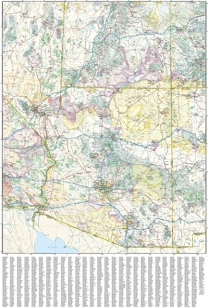
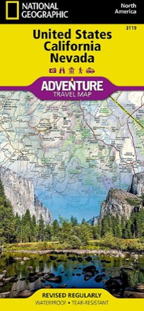
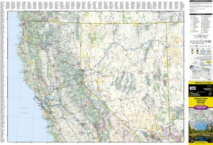
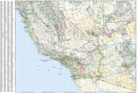
- National GeographicUnited States California and Nevada Adventure Travel Map$14.95
- National GeographicCoconino National Forest Map Pack$34.95
- National GeographicSuperstition & Four Peaks Wilderness Areas Topographic Map$14.95
- Benchmark MapsArizona Recreation Map$9.95
- National GeographicBig Bend National Park Map & Day Hikes Map Pack$24.95
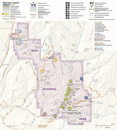
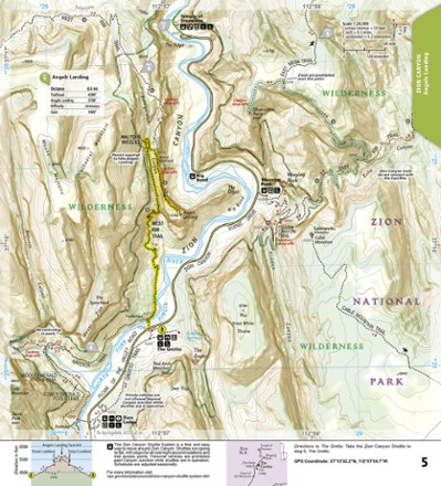
- National GeographicZion National Park Day Hikes Topographic Map Guide$14.95
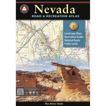
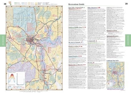
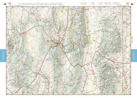
- Benchmark MapsNevada Road & Recreation AtlasNew arrival$29.95
- National GeographicZion National Park MapTop Rated$14.95
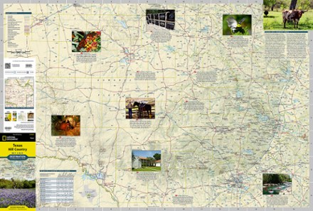
- National GeographicTexas Hill Country Destination Touring Map and Guide$14.95
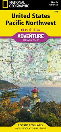
- National GeographicUnited States Pacific Northwest Adventure Map$14.95
- National GeographicParia Canyon and Kanab Topographic Map$14.95
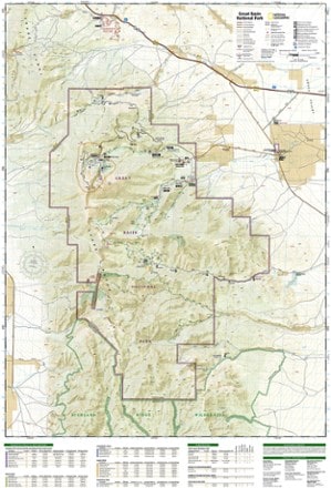
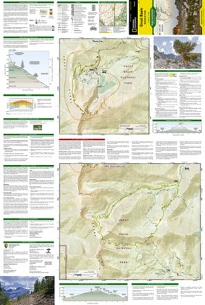
- National GeographicGreat Basin National Park Topographic Map$14.95

Earn 15% in total rewards
Get 5% on all REI Co-op purchases plus the 10% Co-op Member Reward you earn on eligible full-price purchases.
Apply now
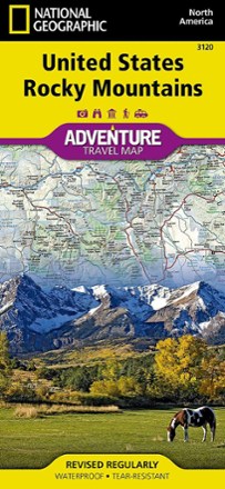
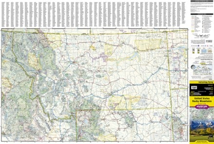
Terms apply- National GeographicUnited States Rocky Mountains Adventure Travel Map$14.95
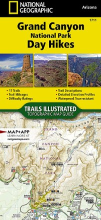
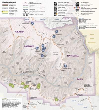
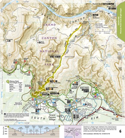
- National GeographicGrand Canyon National Park Day Hikes Topographic Map Guide$14.95
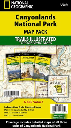
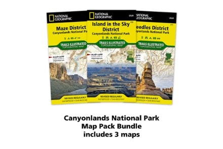
- National GeographicCanyonlands National Park Topographic Map Pack$29.95
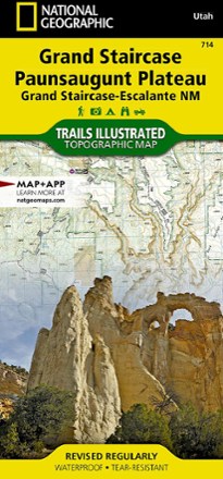
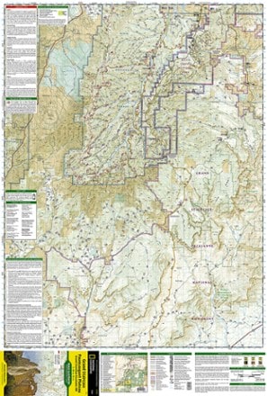
- National GeographicGrand Staircase / Paunsaugunt Plateau Topographic Map$14.95
- Benchmark MapsOklahoma Recreation Map$9.95
- DeLormeArizona Atlas and Gazetteer$29.95
- National GeographicGuadalupe Mountains National Park Trail Map$14.95
- DeLormeNew Mexico Atlas and Gazetteer$29.95
- National GeographicGrand Canyon National Park Trail Map - East$14.95
- National GeographicSaguaro National Park Map$14.95


1–30 of 87 products
Sort: Best Match