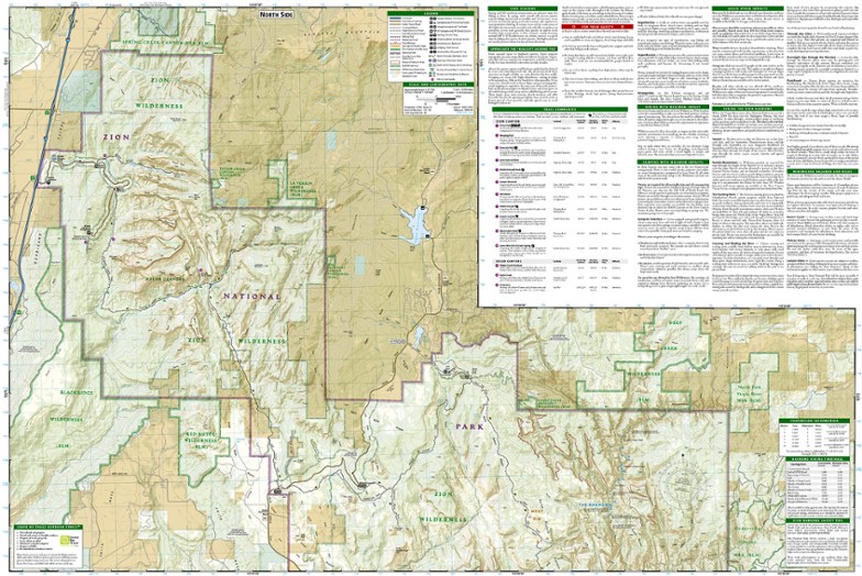
National Geographic Zion National Park Map
This product is not available.
This National Geographic Trails Illustrated folded map offers comprehensive coverage of Zion National Park in Utah.
Shop similar products- Provides valuable wilderness tips and Leave No Trace guidelines, along with updated trails, trailheads, points of interest, campgrounds and much more
- Printed on waterproof, tear-resistant material with a plastic coating that offers the durability needed for outdoor use
- Includes selected waypoints in both lat./lon. and UTM coordinate systems as well as GPS-compatible UTM grid lines for easy navigation
- Measures 9.25 x 4 in. folded and 37.75 x 25.5 in. fully opened; scale of 1:37,700
- National Geographic Maps; copyright 1988 (revised 2005)
Made in USA.
View the National Geographic Trails Illustrated Product LineView all National Geographic Mountain West Maps| Best Use | Hiking |
|---|---|
| State / Province | Utah |
| Map Number | 214 |
Write a Review
Adding a review will require a valid email for verification
Most Helpful Favorable Review
Most Helpful Critical Review
Awesome Quality Stock
Paper stock is waterproof, heavyweight, and yet at Zion I had no issues highlighting my hiking routes traveled and next time I go I will continue to highlight new paths traveled, this map will last me years to come!!
Trans Zion Trek - Not Accurately Mapped
I bought this before our 50 mile trans-zion trek and on the last leg, on the East Rim, the map does not match up with the actual trail. Luckily my boyfriend is very experienced with land nav and was able to get us back on the trail after being lost for sometime. Some contour lines do match up nor do any of the switchbacks on this particular part reflect the actual trail. We got a lost due to the map and because this part of the trail is not well traveled, being that it is the least visited part of the park. Also several deer trails can potentially confuse you, like it did us. There are several cairns to help you out but not enough to keep you certain you our on the right path when you have a distorted map. We saw a group of guys who were doing the same trek later (once we were back on track) and they too said they stopped at the same point we did (also had this map) and they debated between the five of them which way to go. Also there is one point where the distance conflicts with the signs on the trail. I am fortunate that my partner has the army land nav skills that got us on track but I am definitely concerned for any small / less experienced group that uses this map on the trail.
Great Map of Zion
This product is a great map of Zion National Park. I purchased this prior to a trip and it was very useful to be able to visualize the trails we were hiking each day!
Most won’t need this.
It is high quality and lodes with useful features for someone really planning to explore the park. If you are sticking to the main trails, the smaller free park map is sufficient.
Wall poster for my office
I bought this mainly as an office decoration and to inspire me to plan a southwest U.S. trip. I mainly bought it because I wanted it, rather than needed it. Beautiful color-coding and reference points. map scale: 1: 37,700. Datum: NAD 1983.
Best used in Zion National Park
Great map! Had used national park service maps before and this is so much better. Detailed with all the info I wanted

