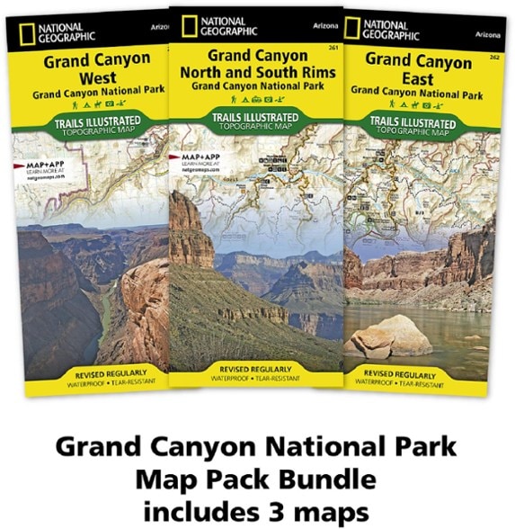
National Geographic Grand Canyon National Park Topographic Map Pack
The Trails Illustrated Grand Canyon National Park topographic map pack guides you through this natural wonder, from sightseeing to overnight camping to backcountry itineraries and river float trips.
- Coverage includes Lake Mead, Parashant National Monument, Glen and Paria Canyons, Grand Canyon National Park and its neighboring national forests and wilderness areas
- Easy-to-read, yet highly detailed map shows comprehensive trail and road networks, along with designated trails for hiking, horseback riding, biking and more
- Clearly marked navigational aids with UTM coordinate grids, scale bar and full legend, essential for safely navigating the backcountry with GPS or compass
- Features key points of interest such as scenic views, campgrounds, trailheads, boat launches and picnic sites
- Color-coded boundaries for public lands including national parks, national forests, national monuments, ranger districts, wilderness areas, state parks and wildlife refuges
- 1:35,000 and 1:90,000 scale
- Printed in the USA on durable, lightweight, waterproof and tear-resistant material designed to withstand all weather conditions
- Folded dimensions: 4.25 x 9.25 in.; unfolded dimensions: 37.75 x 25.5 in.
- National Geographic Maps; copyright 2010
Made in USA.
View the National Geographic Trails Illustrated Product LineView all National Geographic Southwest Maps| Best Use | Hiking |
|---|---|
| State / Province | Arizona |
| Map Number | 261-262-263 |
Be the first to write a review!
Adding a review will require a valid email for verification

