Skip to search results
loaded 77 results
Colorado Maps
(77 products)Products (77)
Sort: Best Match
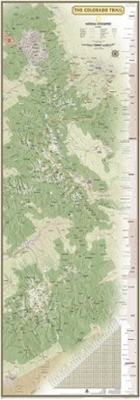
- National GeographicColorado Trail Wall Map$24.95
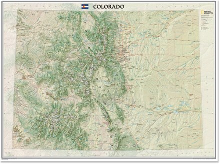
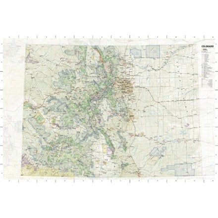
- National GeographicColorado Wall Map - Tubed$24.95
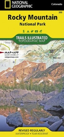
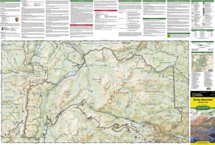
- National GeographicRocky Mountain National Park Trail MapTop Rated$14.95
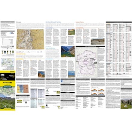
- National GeographicColorado State Recreation Travel Map and GuideNew arrival$14.95
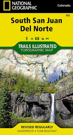
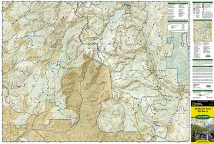
- National GeographicSouth San Juan / Del Norte Topographic Map$14.95
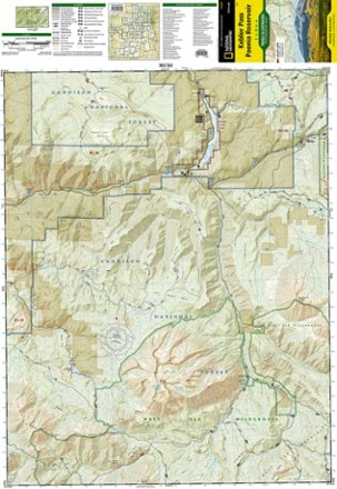
- National GeographicKebler Pass / Paonia Reservoir Topographic Map$14.95
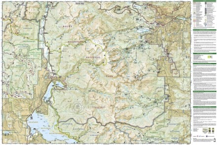
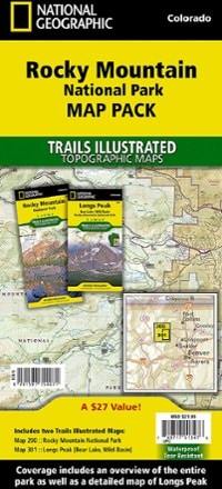
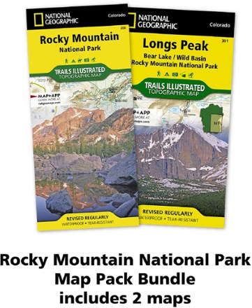
- National GeographicRocky Mountain National Park Topographic Map Pack$21.95
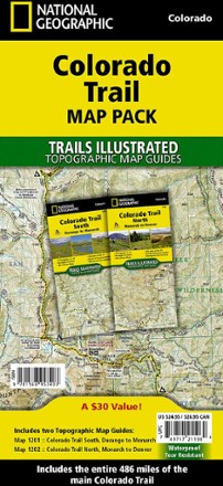
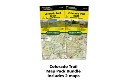
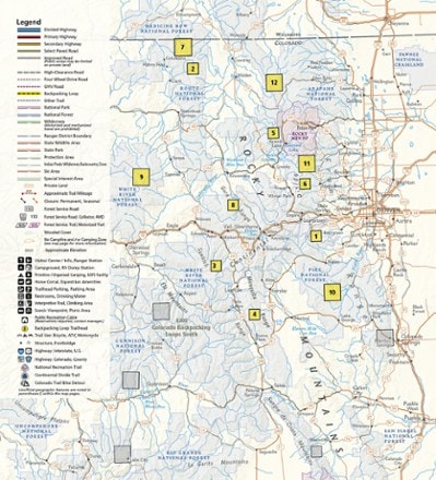
- National GeographicColorado Trail Topographic Map Pack - Set of 2 Map Guides$24.95
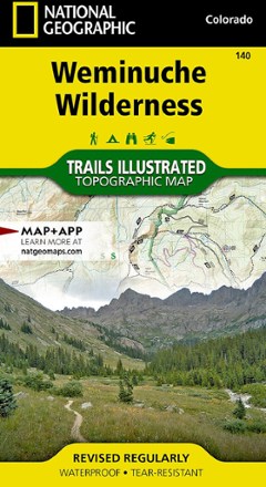
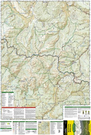
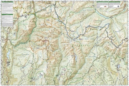
- National GeographicWeminuche Wilderness Trail Map$14.95
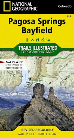
- National GeographicPagosa Springs and Bayfield Area Trail Map$14.95
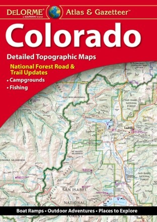
- DeLormeColorado Atlas and Gazetteer$29.95
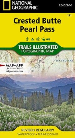
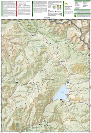
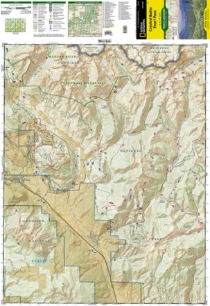
- National GeographicCrested Butte Pearl Pass Map$14.95
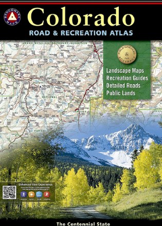
- Benchmark MapsColorado Road & Recreation Atlas - 7th EditionTop Rated$26.95
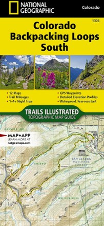
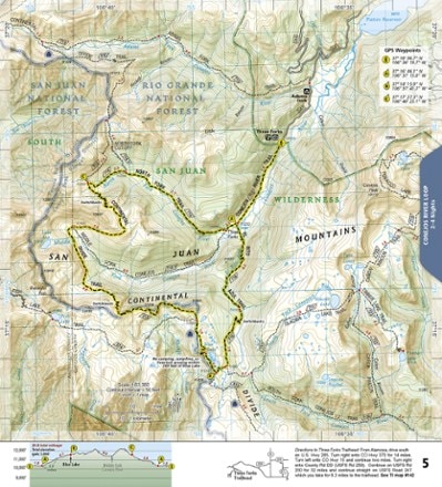
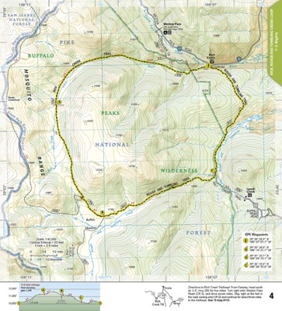
- National GeographicColorado Backpacking Loops South Topographic Map Guide$14.95
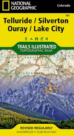
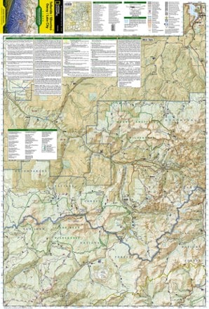
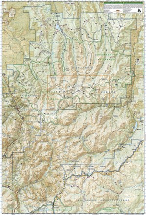
- National GeographicTelluride/Silverton/Ouray/Lake City Trail Map$14.95
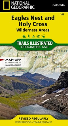
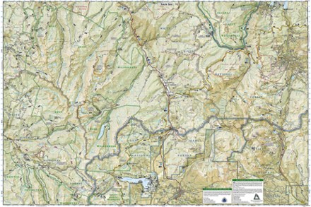
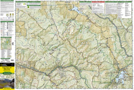
- National GeographicEagles Nest and Holy Cross Wilderness Areas Topographic Map$14.95
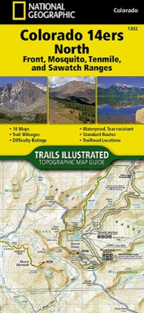
- National GeographicColorado 14ers North Topographic Map Guide$14.95
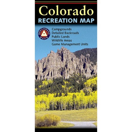
- Benchmark MapsColorado Recreation Map$9.95
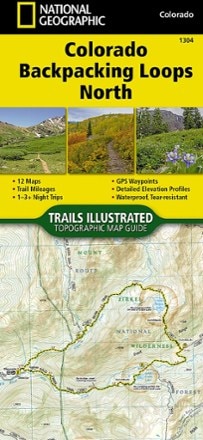
- National GeographicColorado Backpacking Loops North Topographic Map Guide$14.95
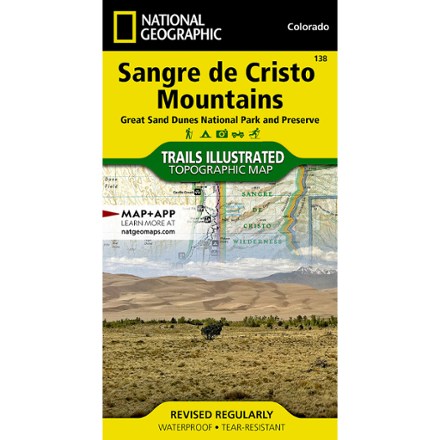
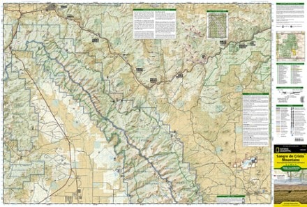
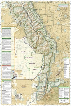
- National GeographicSangre De Cristo Mountains Trail Map$14.95
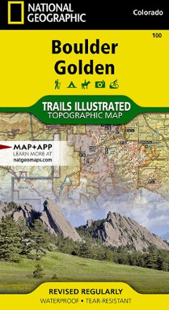
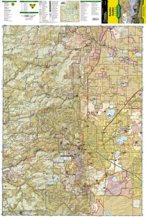
- National GeographicBoulder / Golden Area Map - Colorado$14.95
- Outdoor Trail MapsColorado Indian Peaks/James Peak Wilderness Map$9.95
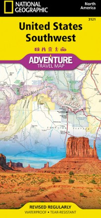
- National GeographicUnited States Southwest Adventure Travel Map$14.95
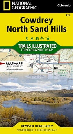
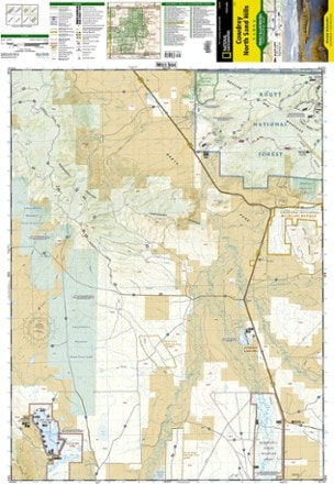
- National GeographicCowdrey/North Sand Hills Trail Map$14.95
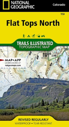
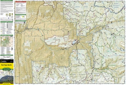
- National GeographicFlat Tops North Topographic Map$14.95
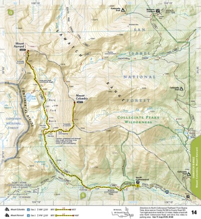
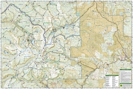
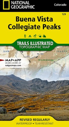
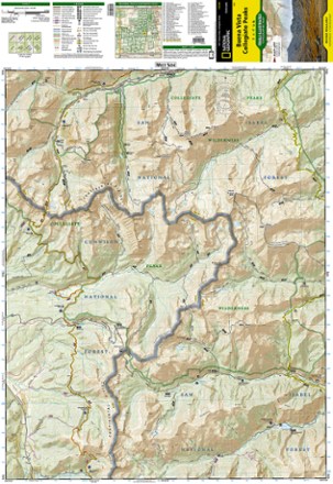
- National GeographicBuena Vista/Collegiate Peaks Trail Map$14.95
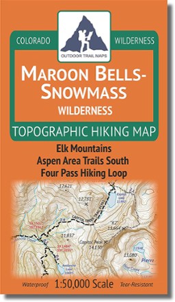
- Outdoor Trail MapsColorado Maroon Bells-Snowmass Wilderness Map$9.95
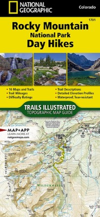
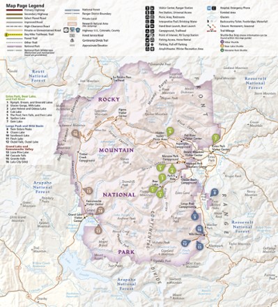
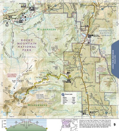
- National GeographicRocky Mountain National Park Day Hikes Topographic Map Guide$14.95
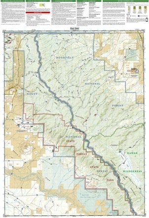
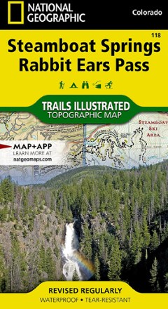
- National GeographicSteamboat Springs/Rabbit Ears Pass Trail Map$14.95
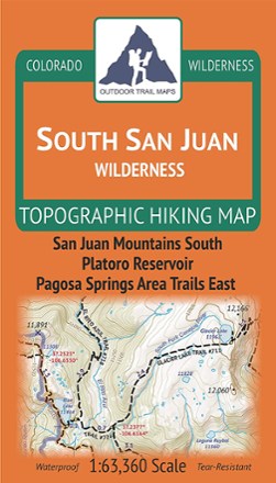
- Outdoor Trail MapsColorado South San Juan Wilderness Map$9.95


1–30 of 77 products
Sort: Best Match
