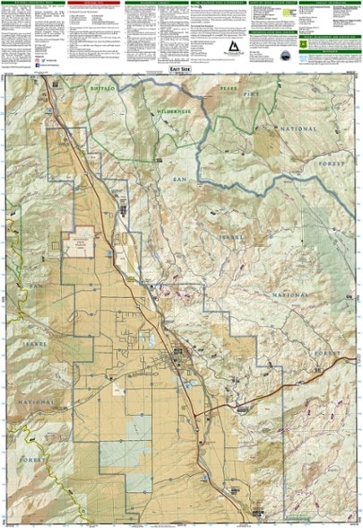
National Geographic Buena Vista/Collegiate Peaks Trail Map
This National Geographic Trails Illustrated folded map offers comprehensive coverage of Colorado's Buena Vista and Collegiate Peaks.
- Provides valuable wilderness tips and Leave No Trace guidelines, along with updated trails, trailheads, points of interest, campgrounds and much more
- Printed on waterproof, tear-resistant material with a plastic coating that offers the durability needed for outdoor use
- Includes selected waypoints in both lat./lon. and UTM coordinate systems as well as GPS-compatible UTM grid lines for easy navigation
- Measures 7.5 x 4 in. folded and 32 x 22 in. fully opened; scale of 1:40,680
- National Geographic Maps; copyright 1979 (revised 2006)
Made in USA.
| Best Use | Hiking |
|---|---|
| State / Province | Colorado |
| Map Number | 129 |
Write a Review
Adding a review will require a valid email for verification
Always reliable.
Always reliable. I always take a map on backpacking trips now since we needed to exit a very remote area due to a health issue and had my companion not had a map that showed all trails in the vicinity, we would've been in a pickle. I use this as my standard because Alltrails is nice, but not reliable.
A Good Choise Since you Really Should Take Maps
Got this for my Collegiate Springs trip a few weeks ago. While I already had a good idea of where I was going, having this along was much more helpful in this moments of getting to follow along the map where you are.
It's a map!
Good detail, easy to follow, very useful for our hike!

