Skip to search results
loaded 71 results
Colorado Maps
(71 products)Products (71)
Sort: Best Match
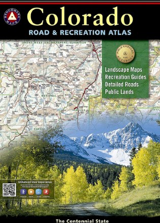
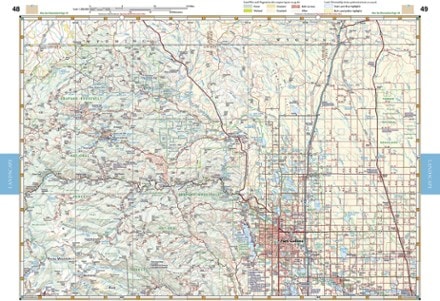
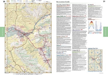
- Benchmark MapsColorado Road & Recreation Atlas - 7th EditionTop Rated$26.95
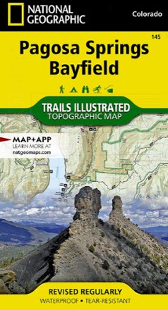
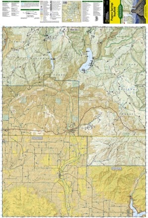
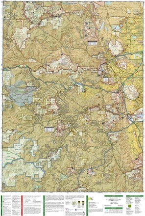
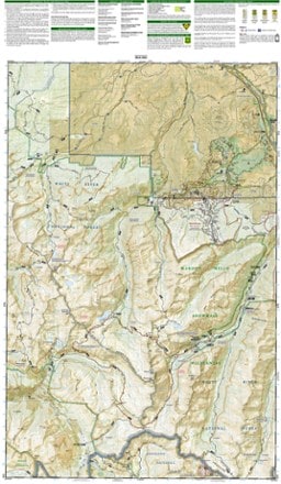
- National GeographicPagosa Springs and Bayfield Area Trail Map$14.95
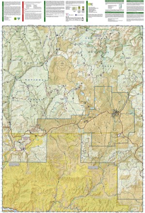
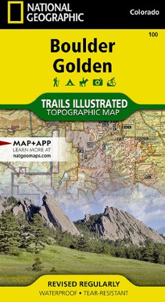
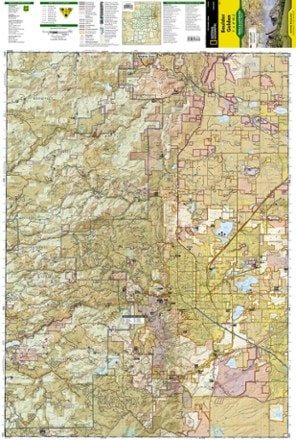
- National GeographicBoulder / Golden Area Map - Colorado$14.95
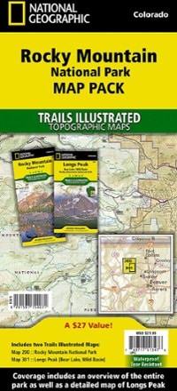
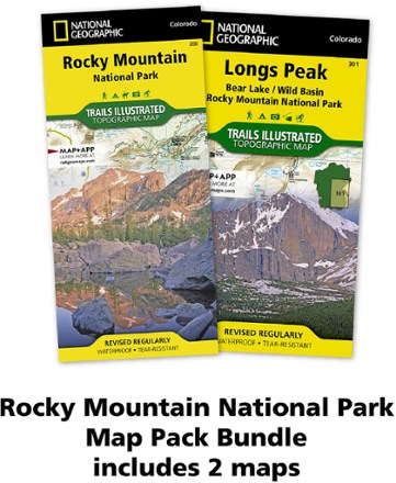
- National GeographicRocky Mountain National Park Topographic Map Pack$21.95
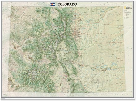
- National GeographicColorado Wall Map - Tubed$24.95
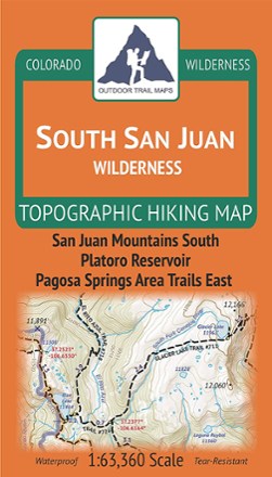
- Outdoor Trail MapsColorado South San Juan Wilderness Map$9.95
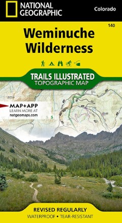
- National GeographicWeminuche Wilderness Trail Map$14.95
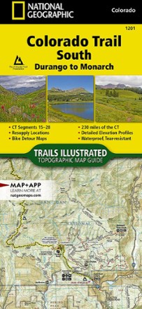
- National GeographicColorado Trail South: Durango to Monarch Topographic Map Guide$14.95
- Outdoor Trail MapsColorado Rocky Mountain National Park Map$10.95
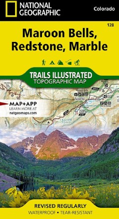
- National GeographicMaroon Bells/Redstone/Marble Trail Map$14.95
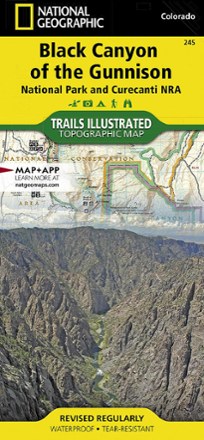
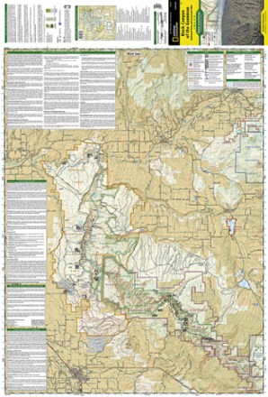
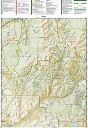
- National GeographicBlack Canyon of the Gunnison Topographic Map$14.95
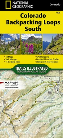
- National GeographicColorado Backpacking Loops South Topographic Map Guide$14.95
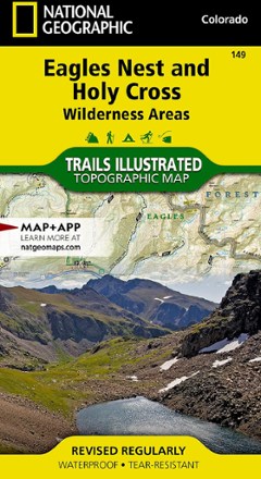
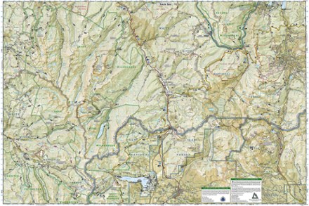
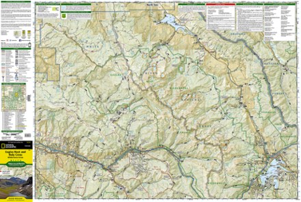
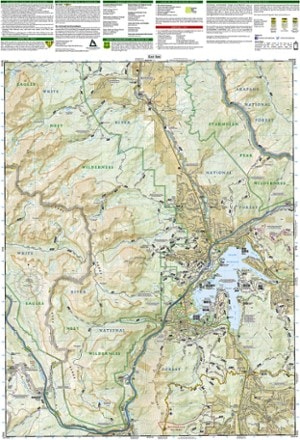
- National GeographicEagles Nest and Holy Cross Wilderness Areas Topographic Map$14.95
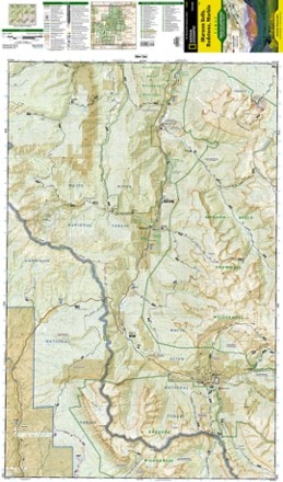
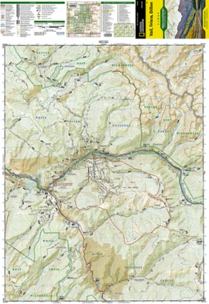
- National GeographicVail, Frisco, and Dillon Topographic Map$14.95
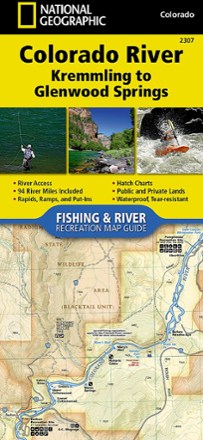
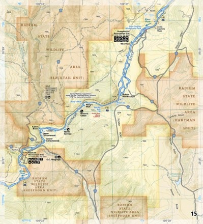
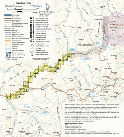
- National GeographicColorado River Fishing & River Recreation Map Guide: Kremmling to Glenwood Springs$14.95
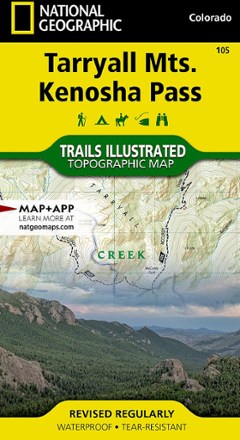
- National GeographicTarryall Mtns. / Kenosha Pass Topographic Map$14.95
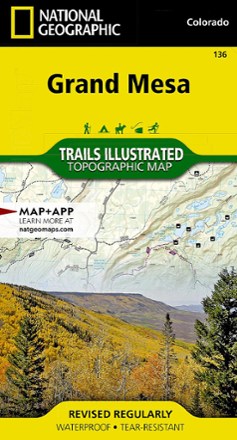
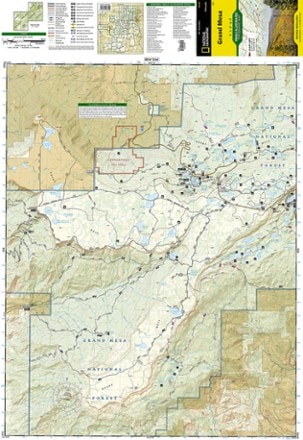
- National GeographicGrand Mesa Trail Map$14.95
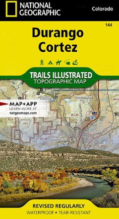
- National GeographicDurango/Cortez Trail Map$14.95
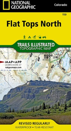
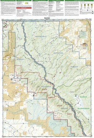
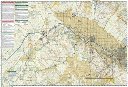
- National GeographicFlat Tops North Topographic Map$14.95
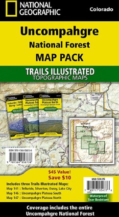
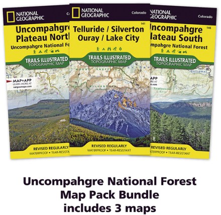
- National GeographicUncompahgre National Forest Map Pack$34.95
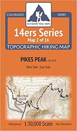
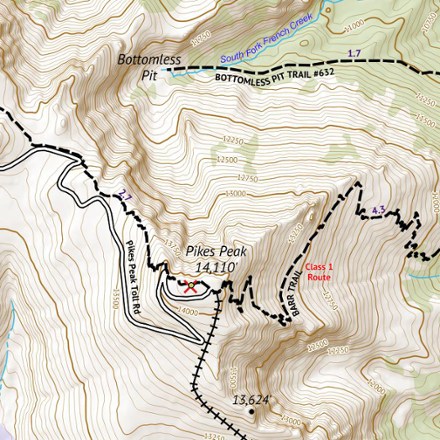
- Outdoor Trail MapsColorado 14ers Series Map - Pikes Peak$5.95
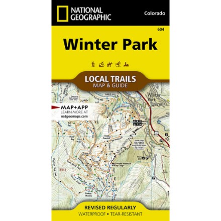
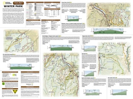
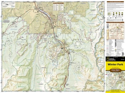
- National GeographicWinter Park Map - Local Trails$11.95
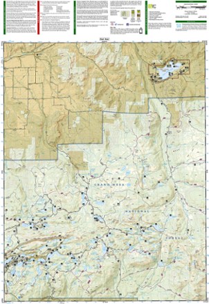
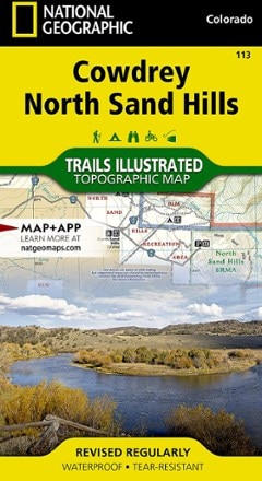
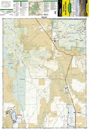
- National GeographicCowdrey/North Sand Hills Trail Map$14.95
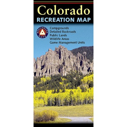
- Benchmark MapsColorado Recreation Map$9.95
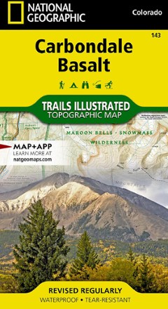
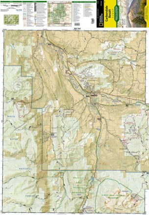
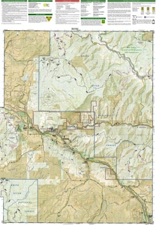
- National GeographicCarbondale/Basalt Trail Map$14.95
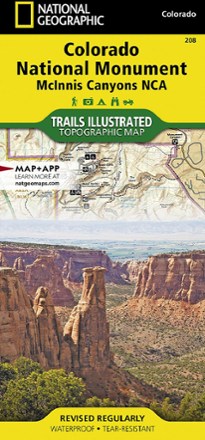
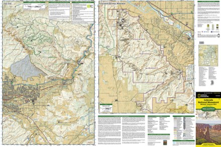
- National GeographicColorado National Monument Topographic Map$14.95
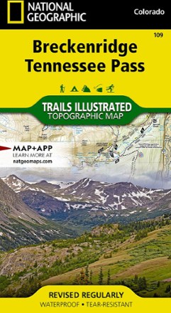
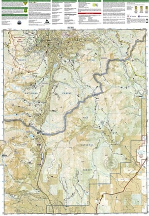
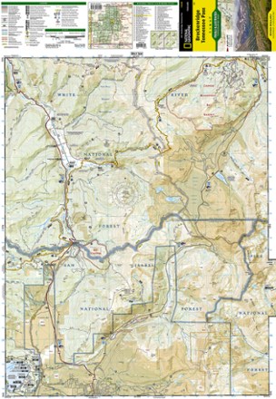
- National GeographicBreckenridge/Tennessee Pass Trail Map$14.95
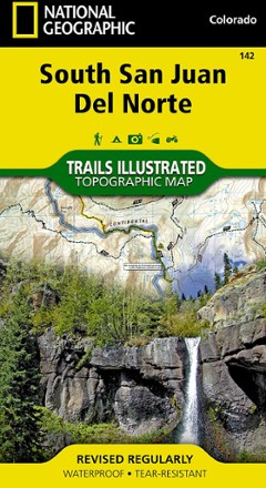
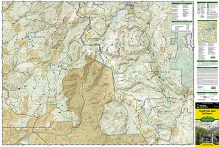
- National GeographicSouth San Juan / Del Norte Topographic Map$14.95
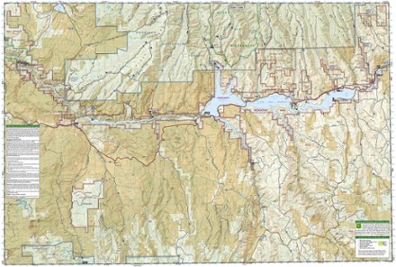
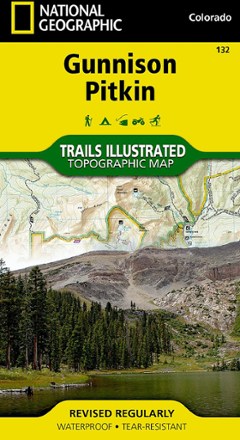
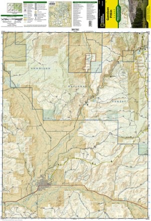
- National GeographicGunnison / Pitkin Topographic Map$14.95
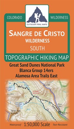
- Outdoor Trail MapsColorado Sangre de Cristo Wilderness South Map$8.95


1–30 of 71 products
Sort: Best Match
