National Geographic Colorado Trail South: Durango to Monarch Topographic Map Guide
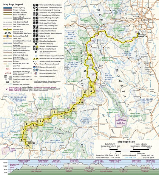
The National Geographic Colorado Trail South: Durango to Monarch topographic map guide is the perfect traveling companion when navigating the southern section of The Colorado Trail.
- Researched and created by National Geographic Maps in partnership with The Colorado Trail Foundation
- More convenient and easier to use than folded maps, but just as compact and lightweight, map guide booklets provide a wealth of info
- Provides detailed topographic maps, interesting history and bike detour maps; a resupply location chart shows distances to and services available at resupply points
- Printed on "Backcountry Tough" waterproof, tear-resistant paper with stainless-steel staples
- Each page is centered on the trail and overlaps with adjacent pages to make navigating simple
- Along the bottom of each page is a trail profile that shows the distance between passes, camping areas and trail access points
- The map and trail profile provide a step-by-step visual guide to hiking the trail, mile by rugged mile
- A full UTM grid is printed on the map to aid with GPS navigation
Made in USA.
View the National Geographic Trails Illustrated Product LineView all National Geographic Colorado Maps| Best Use | Hiking |
|---|---|
| State / Province | Colorado |
| Folded Dimensions | 9 x 4 x .1 inches |
| Unfolded Dimensions | Unavailable |
| Map Scale | 1:63,360 |
| Double Sided | Yes |
| Waterproof | Yes |
| Publisher | National Geographic |
| Copyright Year | 2020 |
| Map Number | 1201 |
Be the first to write a review!
Adding a review will require a valid email for verification

