Skip to search results
loaded 77 results
New England and Mid-Atlantic Maps
(77 products)Products (77)
Sort: Best Match
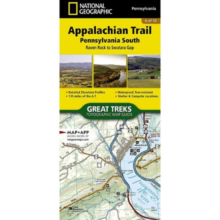
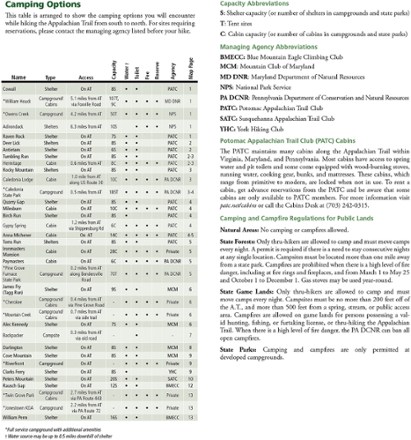
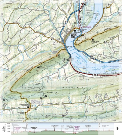
- National GeographicAppalachian Trail: Pennsylvania South Topographic Map Guide$14.95
- National GeographicDelaware Water Gap Map$14.95
- National GeographicAdirondack National Park Trail Map$14.95
- DeLormeMaine Atlas and Gazetteer - 2022 Edition$29.95
- DeLormeNew Hampshire/Vermont Atlas and Gazetteer$29.95
- National GeographicCatskill Park Trail Map$14.95
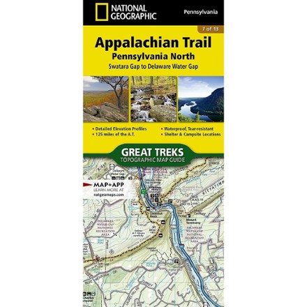
- National GeographicAppalachian Trail: Pennsylvania North Topographic Map Guide$14.95
- AMCWhite Mountains Trail Map 1 Presidential Range - 31st Edition$12.95
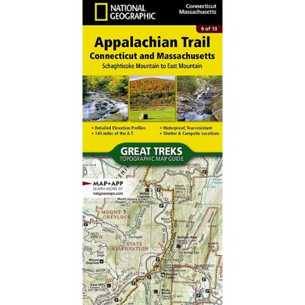
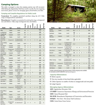
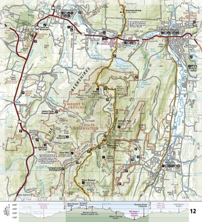
- National GeographicAppalachian Trail: Connecticut and Massachusetts Topographic Map Guide$14.95
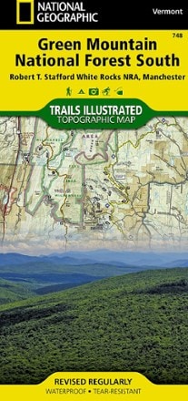
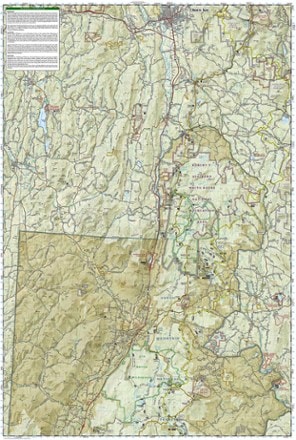
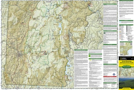
- National GeographicGreen Mountain National Forest South Topographic Map$14.95
- AMCNew England Trail Map & Guide: Massachusetts-Connecticut - 2nd Edition$14.95
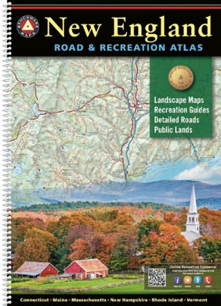
- Benchmark MapsNew England Road & Recreation Atlas$34.95
- AMCWhite Mountains Trail Map 2: Franconia-Pemigewasset - 31st Edition$12.95
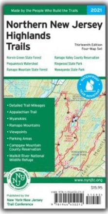
- New York New Jersey TrailNorthern New Jersey Highlands Trails - 13th Edition$15.95
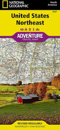
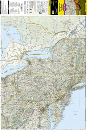
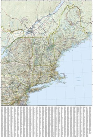
- National GeographicUnited States Northeast Adventure Travel Map$14.95
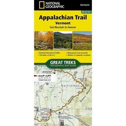
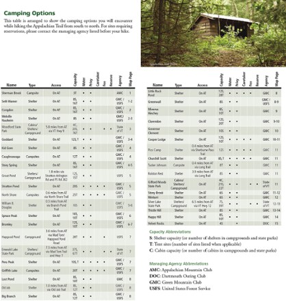
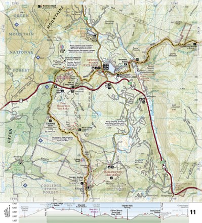
- National GeographicAppalachian Trail: Vermont Topographic Map Guide$14.95
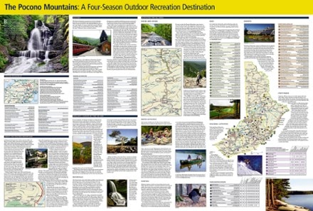
- National GeographicThe Pocono Mountains Destination Touring Map & Guide$14.95
- AMCMaine Mountains Trail Map: Maps 3-6 - 12th Edition$12.95
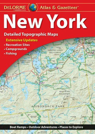
- DeLormeNew York Atlas and Gazetteer$29.95
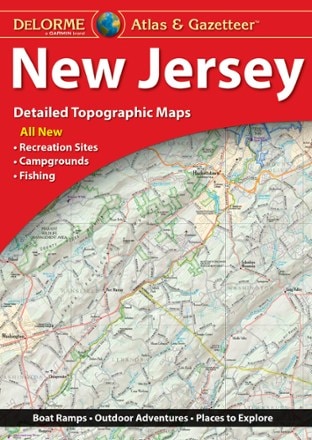
- DeLormeNew Jersey Atlas and Gazetteer$29.95

Get $130 in value
$30 in card rewards are yours when approved for the REI Co-op Mastercard by Mar 9. Plus, you can earn a $100 REI gift card after your first purchase. Terms apply.
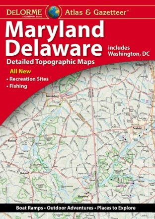
Apply now- DeLormeMaryland/Delaware Atlas and Gazetteer$29.95
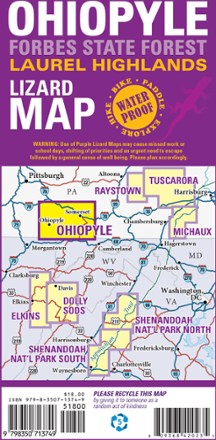
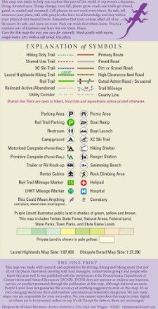
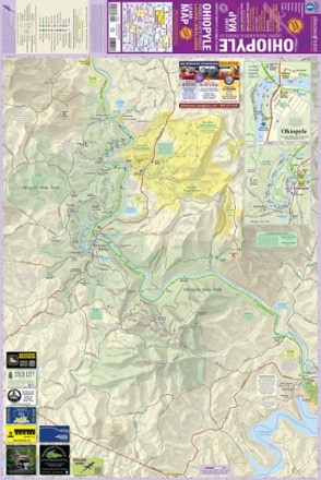
- Purple Lizard MapsOhiopyle-Laurel Highlands Lizard Map$17.95
- AMCWhite Mountains Trail Maps 3 and 4 - 31st Edition$12.95
- AMCWhite Mountain National Forest Map and Guide$9.95
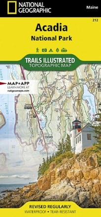
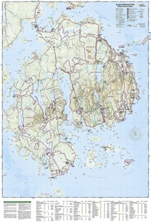
- National GeographicAcadia National Park Trail MapTop Rated$14.95
- National GeographicFranconia Notch/North Conway Trail Map$14.95
- National GeographicAllagash Wilderness Waterway Map Pack$24.95
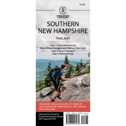
- AMCSouthern New Hampshire Trail Map - 6th Edition$12.95
- AMCMaine Mountains Trail Maps 1 and 2 - 12th Edition$12.95
- National GeographicCape Cod National Seashore Trail Map$14.95
1–30 of 77 products
Sort: Best Match
