


National Geographic Adirondack Park: Old Forge / Oswegatchie Topographic Map
$14.95
The Trails Illustrated Adirondack Park: Old Forge / Oswegatchie topographic map combines valuable information with unmatched detail of this beautiful part of New York.
- Expertly researched and created in partnership with local land management agencies and the Adirondack Mountain Club
- Covers Fulton Chain Lakes, William C. Whitney, Five Ponds, Pigeon Lake, Ha-De-Ron-Dah, Stillwater Reservoir, Independence River, Black River and Tupper and Cranberry lakes
- Easy-to-read, yet highly detailed map shows comprehensive trail and road networks, along with designated trails for hiking, horseback riding, biking and more
- Clearly marked navigational aids with UTM coordinate grids, scale bar and full legend, essential for safely navigating the backcountry with GPS or compass
- Features key points of interest such as scenic views, campgrounds, trailheads, boat launches and picnic sites
- Color-coded boundaries for public lands including national parks, national forests, national monuments, ranger districts, wilderness areas, state parks and wildlife refuges
- 1:75,000 scale
- Printed in the USA on durable, lightweight, waterproof and tear-resistant material designed to withstand all weather conditions
- Folded dimensions: 4.25 x 9.25 in.; unfolded dimensions: 25.5 x 37.75 in.
- National Geographic Maps; copyright 2015
Made in USA.
View the National Geographic Trails Illustrated Product LineView all National Geographic New England and Mid-Atlantic Maps| Best Use | Hiking |
|---|---|
| State / Province | New York |
| Map Number | 745 |
Write a Review
Adding a review will require a valid email for verification
Customer Images
Location:Rochester, NY
Age:55–64
4 years ago
Great details for hiking and boating in the ADX
Yes , I recommend this product
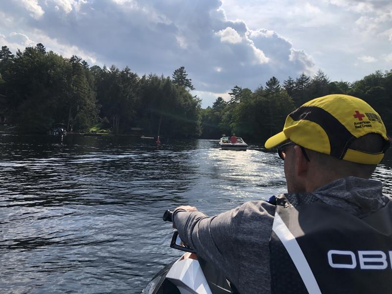
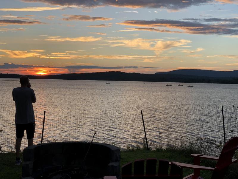
Great details for hiking and boating in the Adirondacks. At times awkward being in places that are on the edge of the back side and frontside of the map. Huge advantage having a sturdy, waterproof map in hand on the trail or on the water!
Age:55–64
Age:55–64
3 years ago
Helpful with book
Good details - I used it with the Adk western trails book
Age:55–64
Location:Rochester, Ny
Age:18–24
3 years ago
Informative and useful
Yes , I recommend this product
Very informative and useful, I love all the trails and trail distance information it provides
Age:18–24