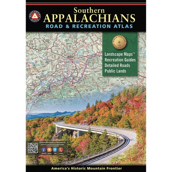


Benchmark Maps Southern Appalachians Road & Recreation Atlas - 2nd Edition
$29.95
Members get an est. $2.99 in rewards
Discover the rich landscapes, winding roads and endless recreation of the Southern Appalachian region with this Benchmark Maps road and recreation atlas.
- Spans parts of 10 states from Harpers Ferry through the Great Smoky and Blue Ridge mountains to Springer Mountain and Little River Canyon
- This large-format, 144-page atlas has been thoroughly updated with current data, field-checking, local interviews and consumer feedback
- Built for travelers, adventurers and map lovers alike
- This 2nd edition reflects hundreds of updates and improvements, offering the most accurate, current and detailed cartographic resource available for the Southern Appalachians
- Map scales: Landscape Maps 1:190,080 or 1 in. = 3 miles; Recreation Maps 1: 760,320 or 1 in. = 12 miles; Blue Ridge Parkway 1:360,000 or 1 in. = 5.7 miles
Imported.
View all Benchmark Maps Midwest Maps| Best Use | Travel |
|---|---|
| State / Province | Alabama Georgia Kentucky Maryland North Carolina Ohio South Carolina Tennessee Virginia West Virginia |
| Folded Dimensions | 16 x 10.5 x 1 inches |
| Unfolded Dimensions | 32 x 21 inches |
| Map Scale | 1:190,080 |
| Double Sided | Yes |
| Publisher | Benchmark |
| Copyright Year | 2025 |
Be the first to write a review!
Adding a review will require a valid email for verification