Skip to search results
loaded 132 results
Mountain West Maps
(132 products)Products (132)
Sort: Best Match
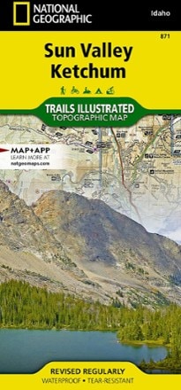
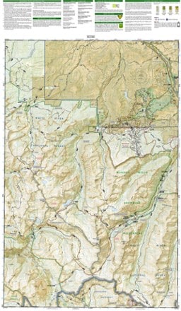
- National GeographicSun Valley, Ketchum Topographic Map$14.95
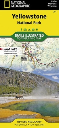
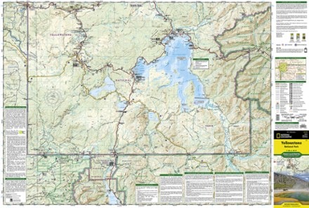
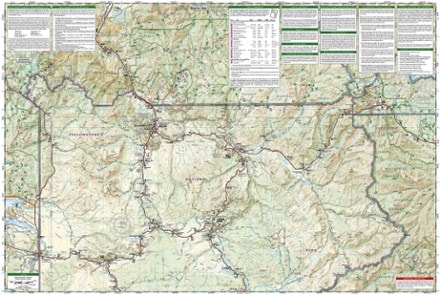
- National GeographicYellowstone National Park Trail MapTop Rated$14.95
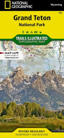
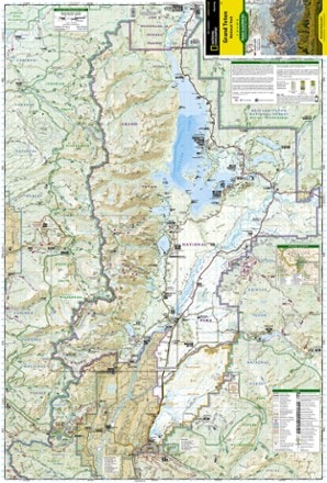
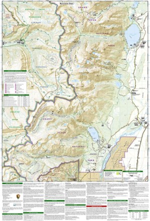
- National GeographicGrand Teton National Park Trail Map$14.95
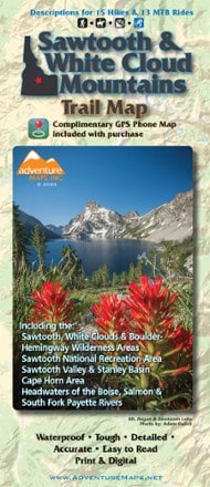
- Adventure MapsSawtooth and White Cloud Mountains Trail Map$13.95
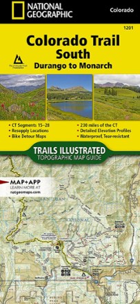
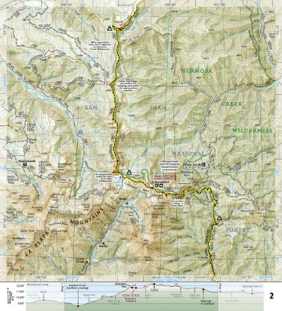
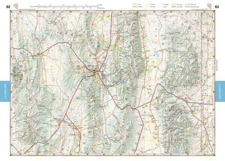
- National GeographicColorado Trail South: Durango to Monarch Topographic Map Guide$14.95
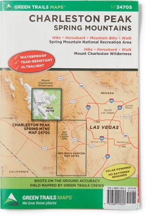
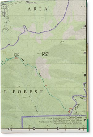
- Green TrailsMap 2470S - Charleston Peak, Spring Mountains$14.00
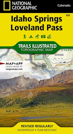
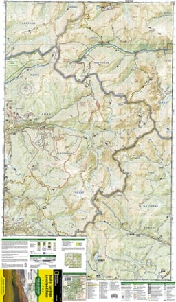
- National GeographicIdaho Springs/Georgetown/Loveland Pass Trail Map$14.95
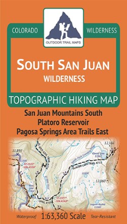
- Outdoor Trail MapsColorado South San Juan Wilderness Map$9.95
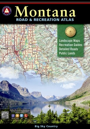
- Benchmark MapsMontana Road & Recreation Atlas - 5th Edition$26.95
- Benchmark MapsUtah Road & Recreation Atlas - 9th EditionTop Rated$26.95
- Adventure MapsMcCall, Idaho Trail Map$14.95
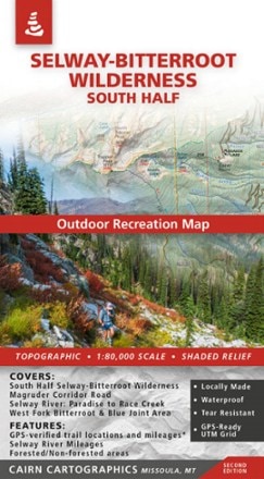
- Cairn CartographicsSelway-Bitterroot Wilderness: South Half Outdoor Recreation Map$15.95
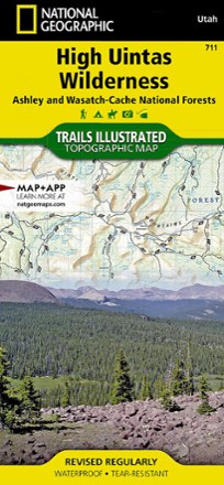
- National GeographicHigh Uintas Wilderness Topographic Map$14.95
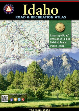
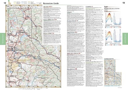
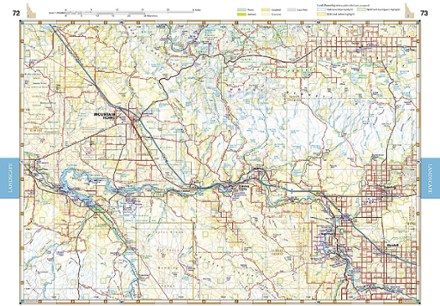
- Benchmark MapsIdaho Road & Recreation Atlas - 7th Edition$26.95
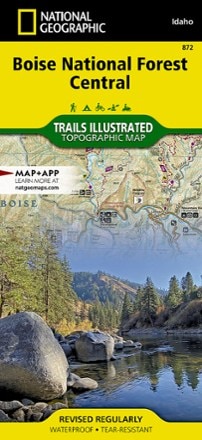
- National GeographicBoise National Forest Central Topographic Map$14.95
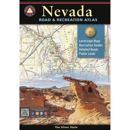
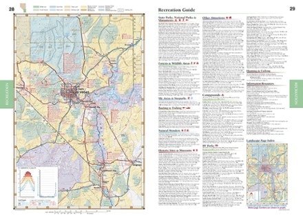
- Benchmark MapsNevada Road & Recreation Atlas$29.95
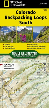
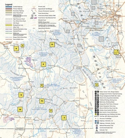
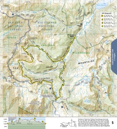
- National GeographicColorado Backpacking Loops South Topographic Map Guide$14.95
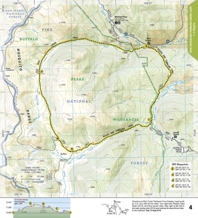
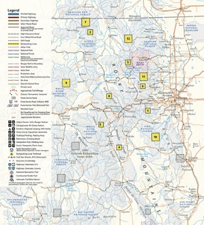
- National GeographicColorado Backpacking Loops North Topographic Map Guide$14.95
- Outdoor Trail MapsColorado Greenhorn Mountain/Spanish Peaks Wilderness Map$8.95
- Benchmark MapsWyoming Recreation Map$9.95
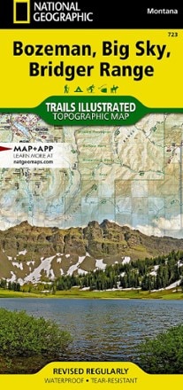
- National GeographicBozeman, Big Sky, Bridger Range Topographic Map$14.95
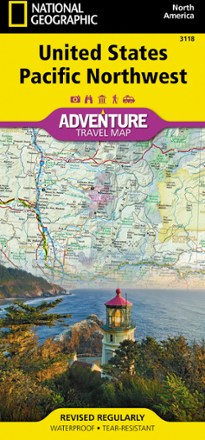
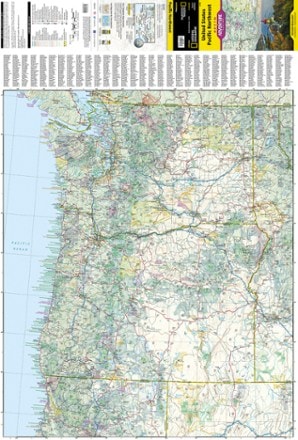
- National GeographicUnited States Pacific Northwest Adventure Map$14.95
- Outdoor Trail MapsColorado Rocky Mountain National Park Map$10.95
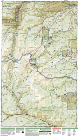
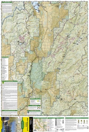
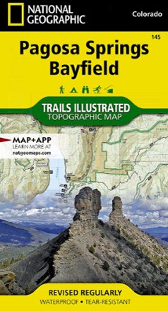
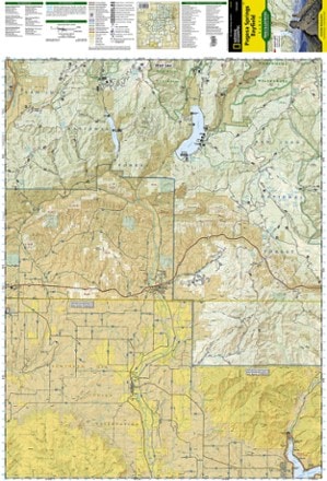
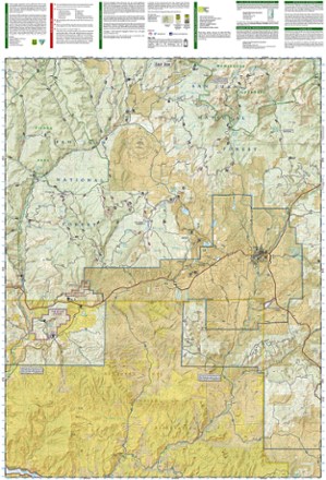
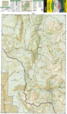
- National GeographicPagosa Springs and Bayfield Area Trail Map$14.95
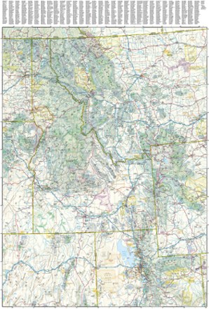
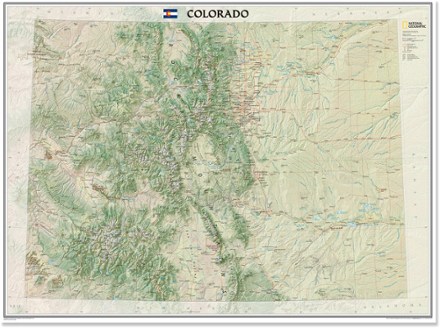
- National GeographicColorado Wall Map - Tubed$24.95
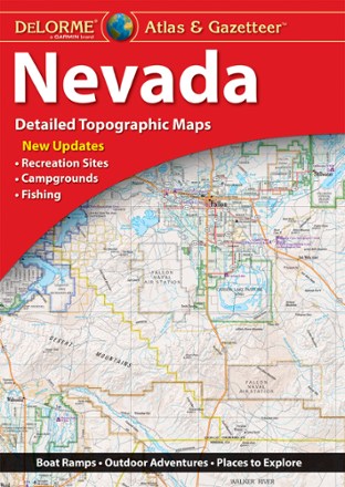
- DeLormeNevada Atlas and Gazetteer$29.95
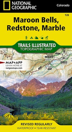
- National GeographicMaroon Bells/Redstone/Marble Trail Map$14.95
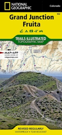
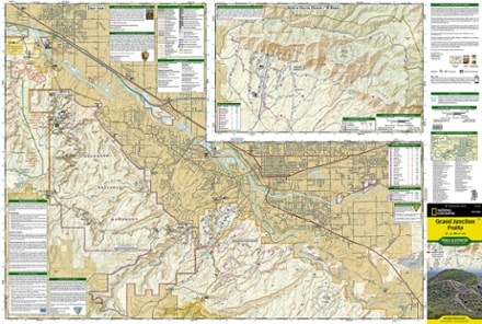
- National GeographicGrand Junction / Fruita Topographic Map$14.95
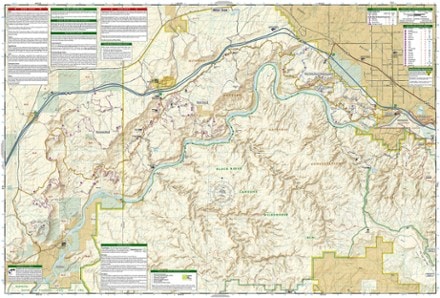
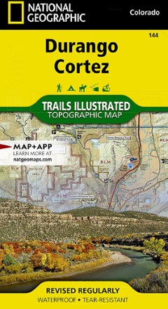
- National GeographicDurango/Cortez Trail Map$14.95
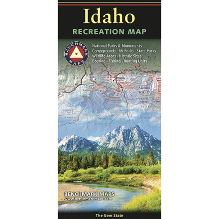
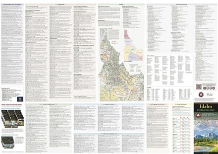
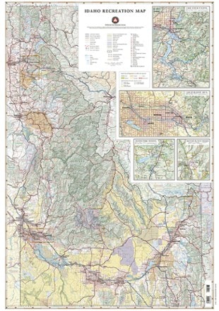
- Benchmark MapsIdaho Recreation Map$9.95


1–30 of 132 products
Sort: Best Match
