Benchmark Maps Utah Road & Recreation Atlas - 9th Edition
This product is not available.
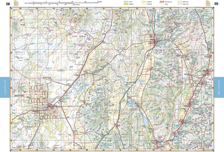
Explore the Beehive State with the Benchmark Maps Utah Road and Recreation Atlas as your navigator. Its filled with easy-to-read, shade-relief maps and loads of recreation activities to stop off for.
Shop similar products- Comprehensive guide highlights parks, monuments, historic sites, campgrounds, RV parks and boat launches with an index to locate attractions and destinations quickly
- Atlas pages feature generous page-to-page overlaps, GPS grids and easy-to-read symbols, along with climate graphs for selected cities to choose the best time to visit
- Also includes essential recreation information and road classes for the entire state, as well as land-use classes
- Details on the maps include rest areas, exit numbers, point-to-point roadway mileages, campgrounds, RV parks, road surface, cities and elevations
- Metro-area maps of large cities are scaled to enhance detail and make navigation easier within the city
- Regional maps show mileages and mileage charts
Imported.
View all Benchmark Maps Mountain West Maps| Best Use | Travel |
|---|---|
| State / Province | Utah |
| Folded Dimensions | 15 x 11 x 0.5 inches |
| Map Scale | 1:250,000 & 1:730,000 |
| Double Sided | Yes |
| Publisher | Benchmark Maps |
| Copyright Year | 2022 |
| Map Number | BE0BENUTAT |
Write a Review
Adding a review will require a valid email for verification
Great! Just wish it had more detail on trails…
Went with Benchmark over DeLorme because it seems to have more detail on trails and recreation sites. As far as a roads atlas goes, this is excellent: it has all roads mapped out you could ever ask for and many trails and campsites off those roads and all the parks and points of interest. But for a hiker, it’s still lacking a bit on trail details. I’m a little disappointed - wish it had more trail detail such as trail distances, topo lines, etc. It’s excellent for road use and getting the lay of the land but I still need detailed trail maps. Rather than have the entire State of Utah, I think it could have greater benefit to split the state into regions, so they could then get the extra trial detail in there.
Know where you are!
Being lost is bad. Knowing where you are is good. These maps help you to be in the latter category.
A must have when exploring
Very informative and easy to use. I have 4 of these and use it for a variety of travels on and off road. I think a spiral bound would be easier to use but the information is helpful and opens up a lot more area to expand. We use it for 4 wheeling , hiking and camping.
Go to map
Benchmark maps are the best for planning a trip and seeing the varied and interesting sites along the way.

