Skip to search results
loaded 141 results
Mountain West Maps
(141 products)Products (141)
Sort: Best Match
- National GeographicGrand Teton National Park Trail Map$14.95
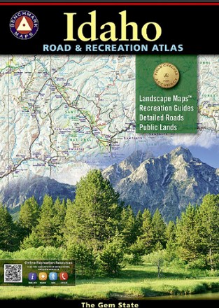
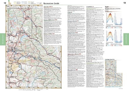
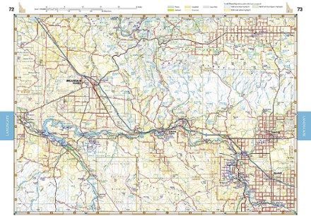
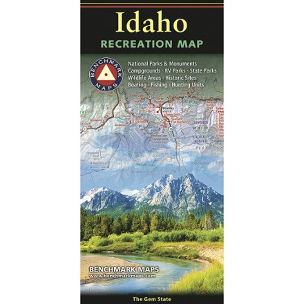
- Benchmark MapsIdaho Road & Recreation Atlas - 7th Edition$26.95
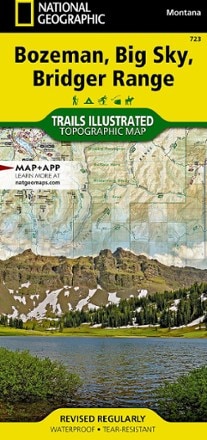
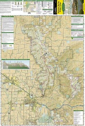
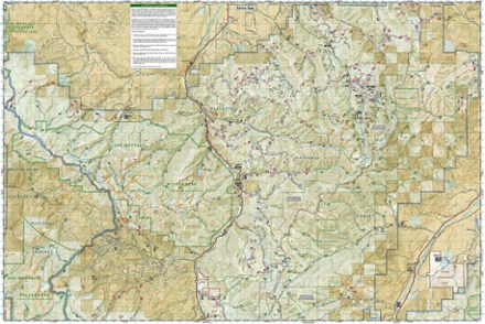
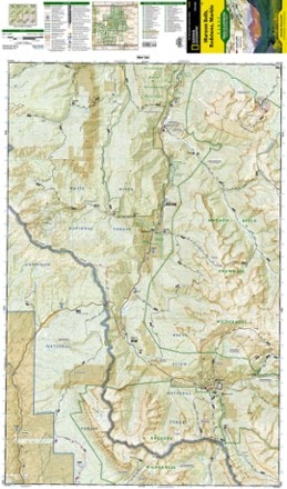
- National GeographicBozeman, Big Sky, Bridger Range Topographic Map$14.95
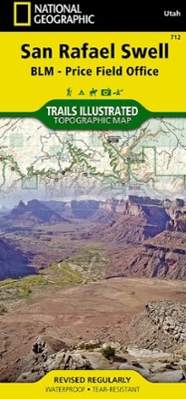
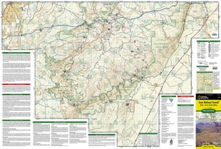
- National GeographicSan Rafael Swell Trail Map$14.95
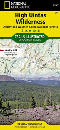
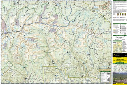
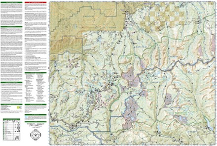
- National GeographicHigh Uintas Wilderness Topographic Map$14.95
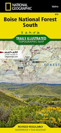
- National GeographicBoise National Forest South Topographic Map$14.95
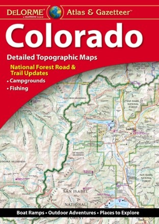
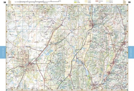
- DeLormeColorado Atlas and Gazetteer$29.95
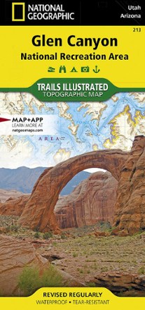
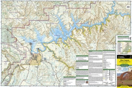
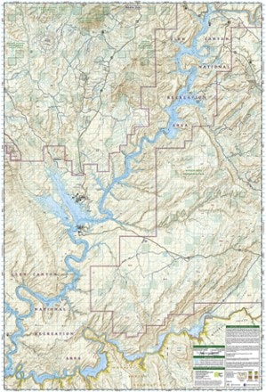
- National GeographicGlen Canyon NRA Topographic Map$14.95
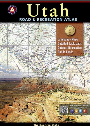
- Benchmark MapsUtah Road & Recreation Atlas - 9th EditionTop Rated$26.95
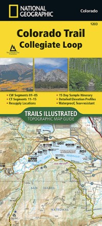
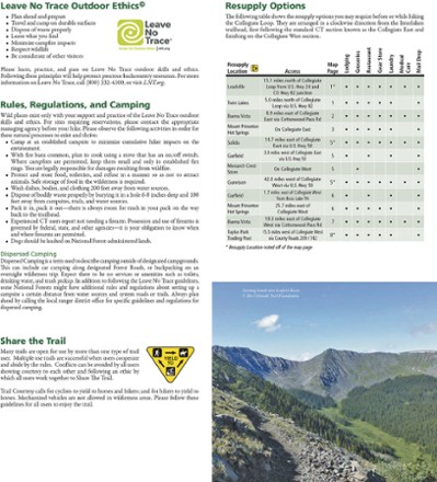
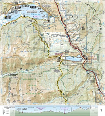
- National GeographicColorado Trail Collegiate Loop Topographic Map Guide$14.95
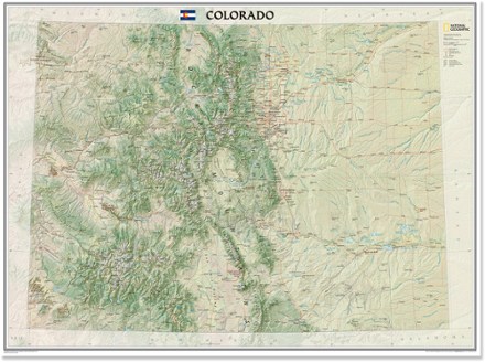
- National GeographicColorado Wall Map - Tubed$24.95
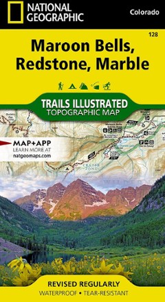
- National GeographicMaroon Bells/Redstone/Marble Trail Map$14.95
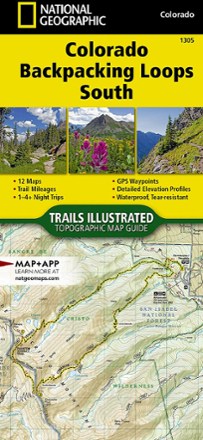
- National GeographicColorado Backpacking Loops South Topographic Map Guide$14.95
- National GeographicSangre De Cristo Mountains Trail Map$14.95
- Benchmark MapsUtah Recreation Map$9.95
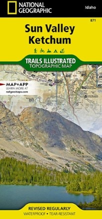
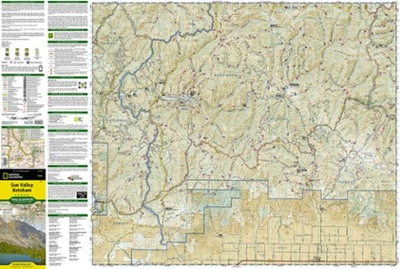
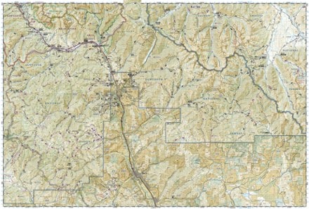
- National GeographicSun Valley, Ketchum Topographic Map$14.95
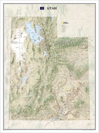
- National GeographicUtah State Wall Map - Tubed$24.95
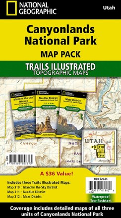
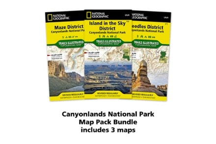
- National GeographicCanyonlands National Park Topographic Map Pack$29.95
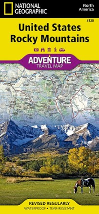
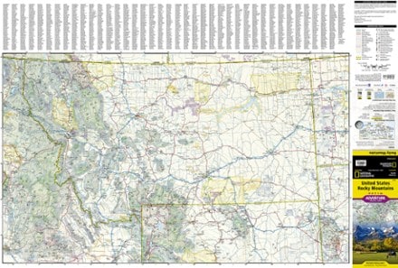
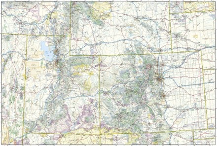
- National GeographicUnited States Rocky Mountains Adventure Travel Map$14.95
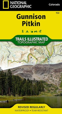
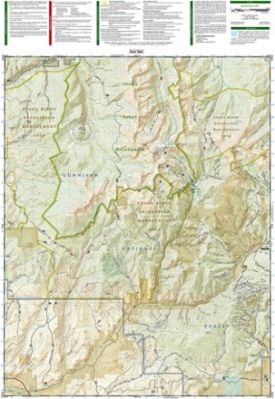
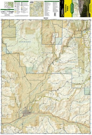
- National GeographicGunnison / Pitkin Topographic Map$14.95
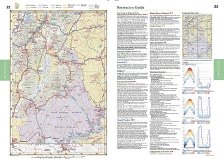
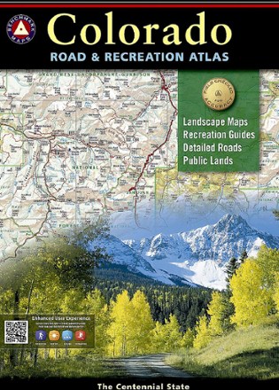
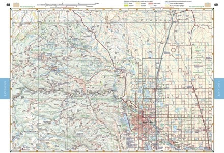
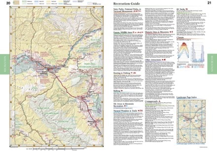
- Benchmark MapsColorado Road & Recreation Atlas - 7th EditionTop Rated$26.95
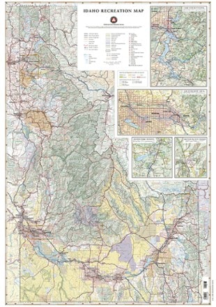
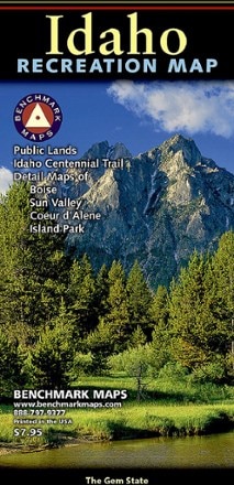
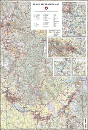
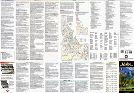
- Benchmark MapsIdaho Recreation Map$9.95
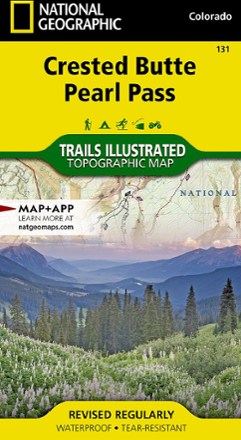
- National GeographicCrested Butte Pearl Pass Map$14.95
- National GeographicCapitol Reef National Park Map & Day Hikes Map PackNew arrival$24.95
- National GeographicSierra Nevada Destination Map$14.95
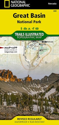
- National GeographicGreat Basin National Park Topographic Map$14.95
- National GeographicWinter Park Map - Local Trails$11.95
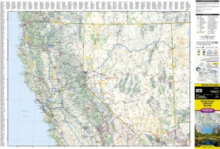
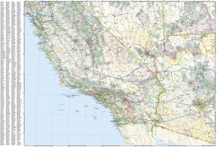
- National GeographicUnited States California and Nevada Adventure Travel Map$14.95
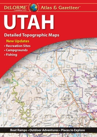
- DeLormeUtah Atlas & Gazetteer$29.95
- Benchmark MapsIdaho Recreation Map$7.95
1–30 of 141 products
Sort: Best Match