Skip to search results
loaded 82 results
Washington and Oregon Maps
(82 products)Products (82)
Sort: Best Match
- Green TrailsMap 16SX - North Cascades and Ross Lake$18.00
- Green TrailsMap 111SX - Mountain Loop Highway$18.00
- Green TrailsMap 174SX - Middle Fork Snoqualmie$18.00
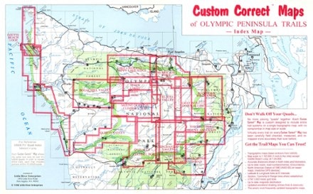
- Custom CorrectMap Set - Olympic Pennisula$99.95
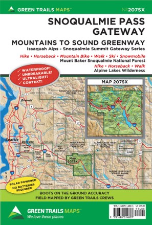
- Green TrailsMap 207SX - Snoqualmie Pass Gateway$18.00
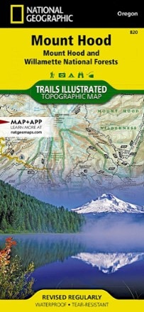
- National GeographicMount Hood Topographic Map$14.95
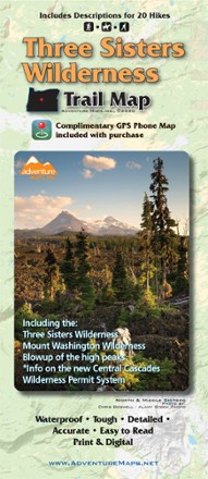
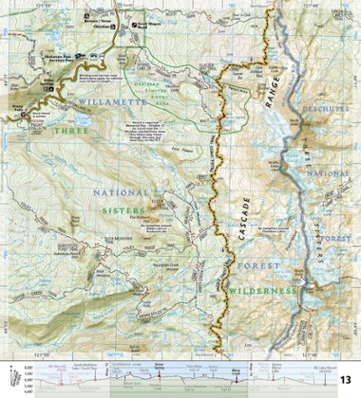
- Adventure MapsThree Sisters Wilderness Trail Map$13.95
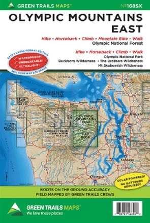
- Green TrailsMap 168SX - Olympic Mountains East$18.00
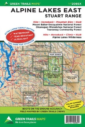
- Green TrailsMap 208SX - Alpine Lakes East Stuart Range$18.00
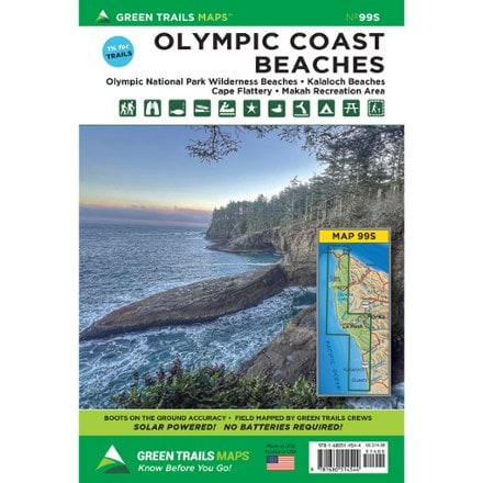
- Green TrailsMap 99S - Olympic Coast BeachesTop Rated$14.00
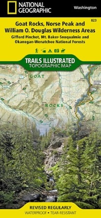
- National GeographicGoat Rocks, Norse Peak and William O. Douglas Wilderness Areas Topographic Map$14.95
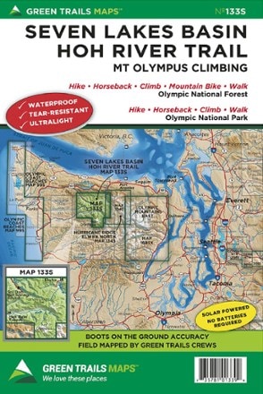
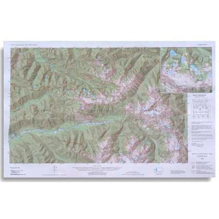
- Green TrailsMap 133S - Seven Lakes Basin, Mount Olympus Climbing$14.00
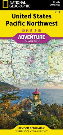
- National GeographicUnited States Pacific Northwest Adventure Map$14.95
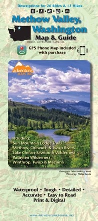
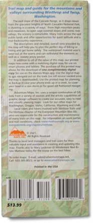
- Adventure MapsMethow Valley, Washington, Map and Guide$13.95
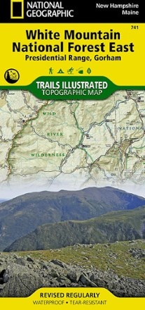
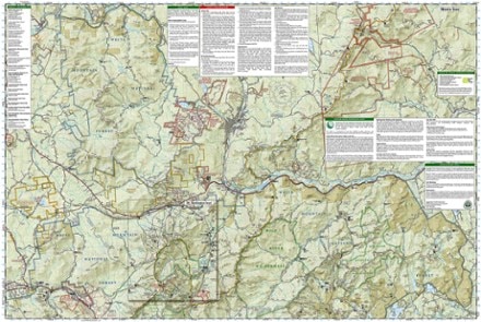
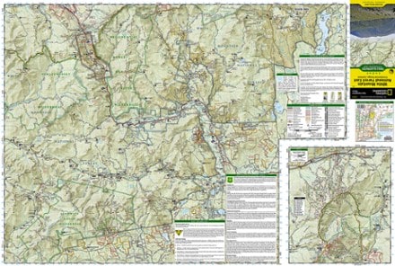
- National GeographicPresidential Range / Gorham Topographic Map$14.95
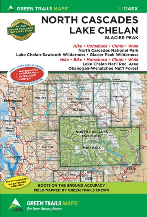
- Green TrailsMap 114SX - North Cascades, Lake Chelan, Glacier Peak$18.00
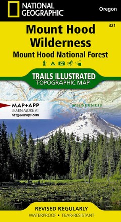
- National GeographicMount Hood Wilderness Topographic Map$11.95
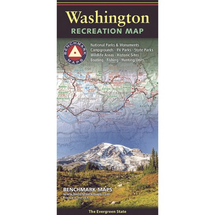
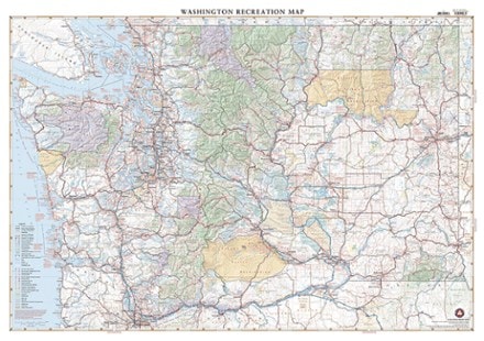
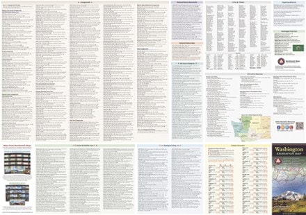
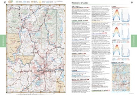
- Benchmark MapsWashington Recreation Map$9.95
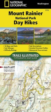
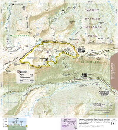
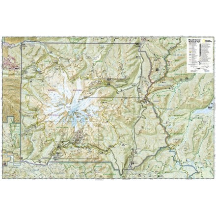
- National GeographicMount Rainier National Park Day Hikes Topographic Map Guide$14.95
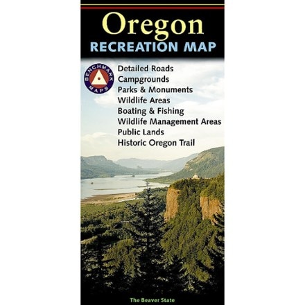
- Benchmark MapsOregon Recreation Map$9.95
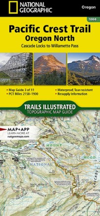
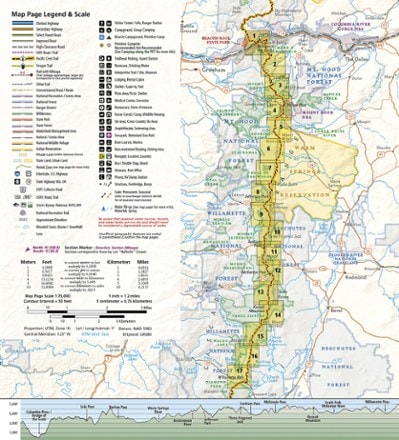
- National GeographicPacific Crest Trail Topographic Map Guide: Oregon North$14.95
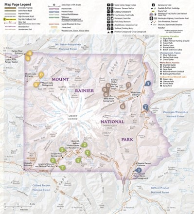
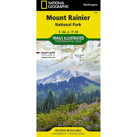
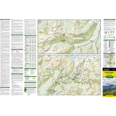
- National GeographicMount Rainier National Park Trail MapTop Rated$14.95
- Custom Correct Seven Lakes Basin Map$6.95
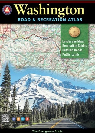
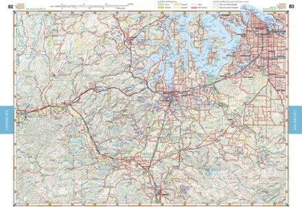
- Benchmark MapsWashington Road & Recreation Atlas - 9th EditionTop Rated$26.95
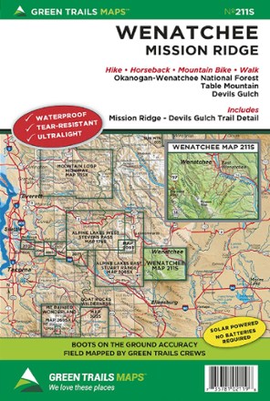
- Green TrailsMap 211S - Wenatchee$14.00
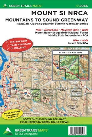
- Green TrailsMap 206S - Mount Si NRCA$14.00
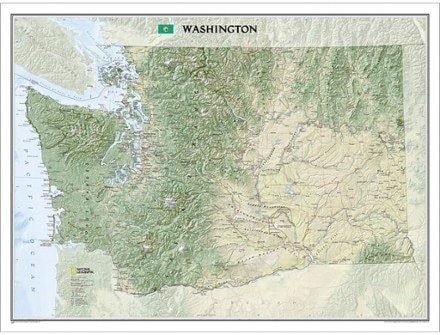
- National GeographicWashington Wall Map - Tubed$24.95
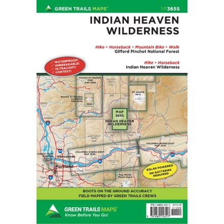
- Green TrailsMap 365S - Indian Heaven Wilderness$12.00
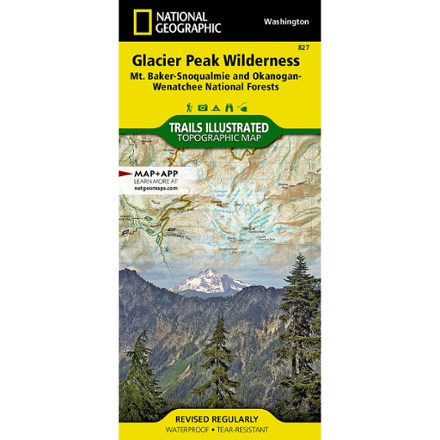
- National GeographicGlacier Peak Wilderness Topographic Map$14.95
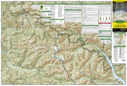
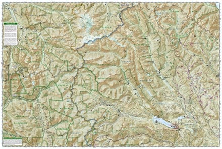
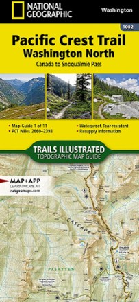
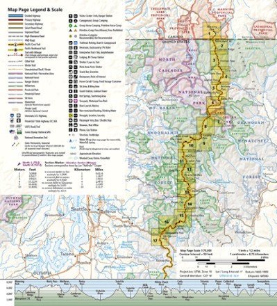
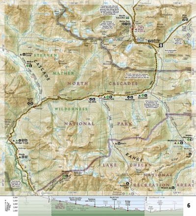
- National GeographicPacific Crest Trail Topographic Map Guide: Washington North$14.95
1–30 of 82 products
Sort: Best Match
