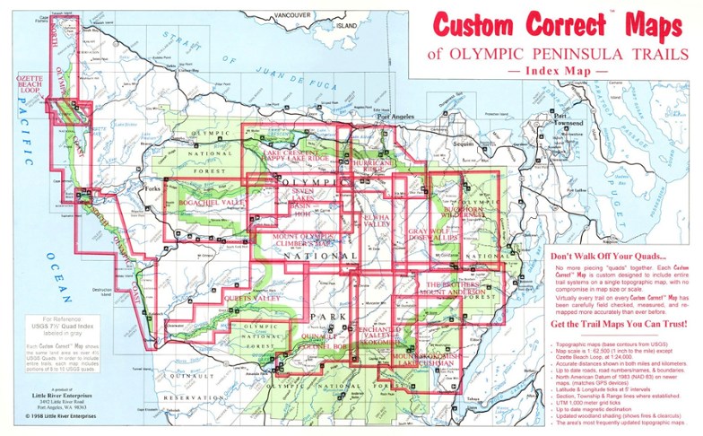
Custom Correct Seven Lakes Basin Map
This product is not available.
Covers the Seven Lakes Basin area ranging from Slide Peak to Hurricane Hill
Shop similar products- Scale is 1:62,500; scale matches USGS (United States Geological Survey) 15 Minute Series
- Elevations in feet; road and trail distances in miles and kilometers
- One inch is equivalent to a mile; contour interval is 100 feet
- National Geodetic Vertical Datum of 1929; Compiled from 1985 USGS base maps
Made in USA.
| Best Use | Hiking |
|---|---|
| State / Province | Washington |
Write a Review
Adding a review will require a valid email for verification
Detailed and Useful Map
I originally bought this for decoration, but when planning a trip to the Olympic peninsula I realized it looked like a great hike. Having just returned from a 3 day backpack through the High divide and seven lakes basin, I can assure you that this is one helpful map. Good color, highly detailed, and very useful for navigation when planning our trip or when on the trail.

