Skip to search results
loaded 28 results
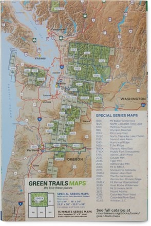
Green Trails Washington and Oregon Maps
(28 products)Products (28)
Sort: Best Match
- Green TrailsWallowa Mountains and the Eagle Cap Wilderness Map$18.00
- Green TrailsMap 111SX - Mountain Loop Highway$18.00
- Green TrailsMap 133S - Seven Lakes Basin, Mount Olympus Climbing$14.00
- Green TrailsMap 174SX - Middle Fork Snoqualmie$18.00
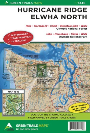
- Green TrailsMap 134S - Hurricane Ridge - Elwha North$14.00
- Green TrailsMap 332S - Mount St. Helens National Volcanic Monument$14.00
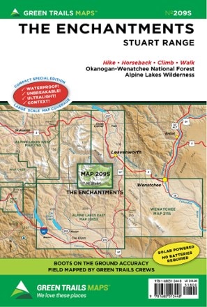
- Green TrailsMap 209S - The Enchantments: Stuart Range$12.00
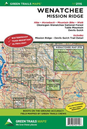
- Green TrailsMap 211S - Wenatchee$14.00
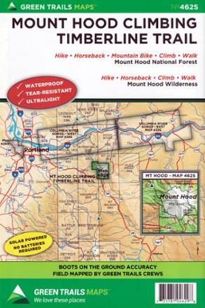
- Green TrailsMap 462SX - Mount Hood Climbing Timberline Trail$18.00
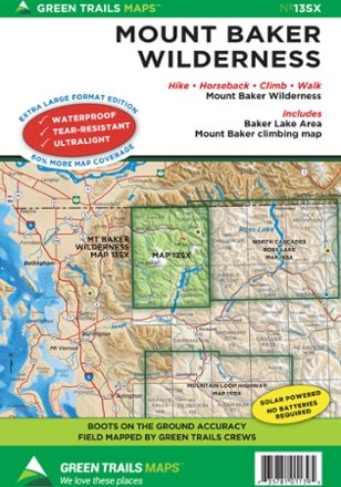
- Green TrailsMap 13SX - Mount Baker Wilderness$18.00
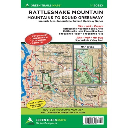
- Green TrailsMap 205SX - Rattlesnake Mountain$18.00
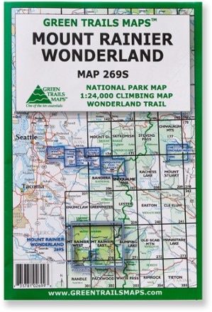
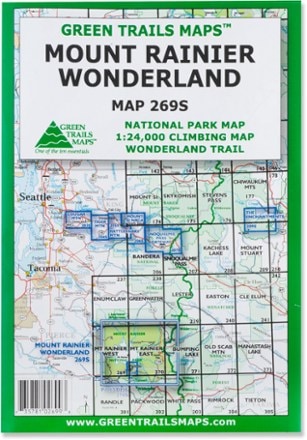
- Green TrailsMap 269S - Mount Rainier Wonderland$18.00
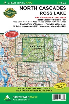
- Green TrailsMap 16SX - North Cascades and Ross Lake$18.00
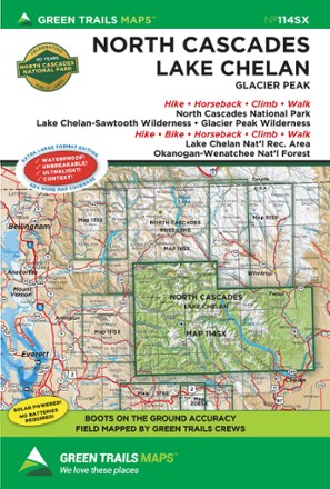
- Green TrailsMap 114SX - North Cascades, Lake Chelan, Glacier Peak$18.00
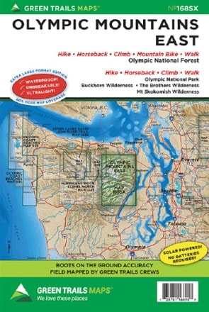
- Green TrailsMap 168SX - Olympic Mountains East$18.00
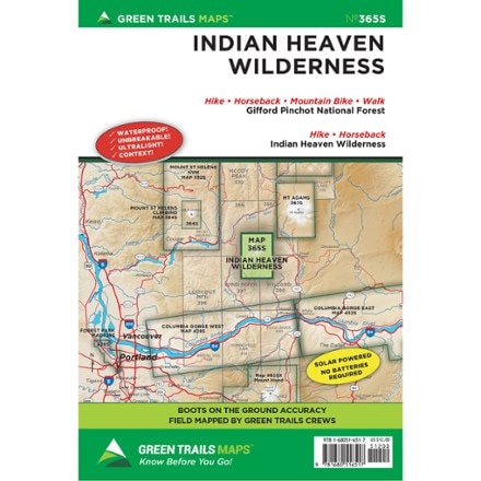
- Green TrailsMap 365S - Indian Heaven Wilderness$12.00
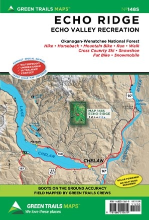
- Green TrailsMap 148S - Echo Ridge$12.00
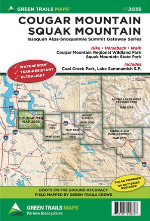
- Green TrailsMap 203S - Cougar Mountain Squak Mountain$14.00
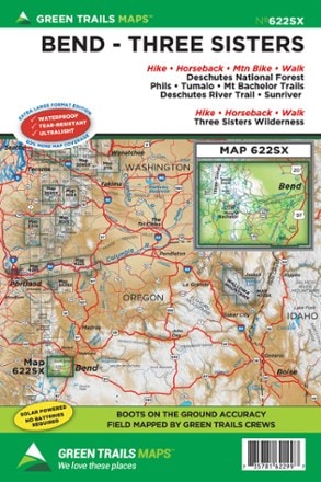
- Green TrailsMap 622SX - Bend-Three Sisters$18.00
- Green TrailsMap 99S - Olympic Coast BeachesTop Rated$14.00

Earn 15% in total rewards
Get 5% on all REI Co-op purchases plus the 10% Co-op Member Reward you earn on eligible full-price purchases.
Apply now
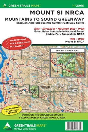
Terms apply- Green TrailsMap 206S - Mount Si NRCA$14.00
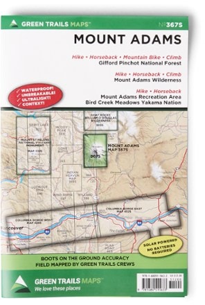
- Green TrailsMap 367S - Mount Adams$12.00
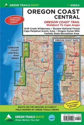
- Green TrailsMap 456SX - Oregon Coast Central, OR$18.00
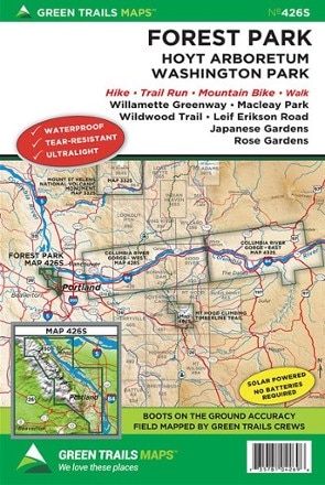
- Green TrailsMap 426S - Forest Park Map$14.00
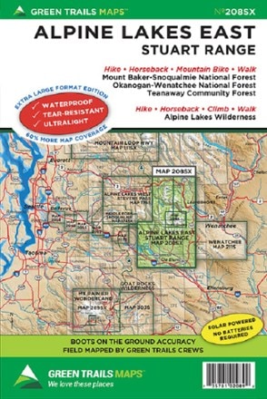
- Green TrailsMap 208SX - Alpine Lakes East Stuart Range$18.00
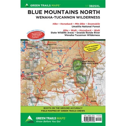
- Green TrailsMap 382SXL - Blue Mountains North$20.00
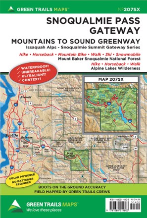
- Green TrailsMap 207SX - Snoqualmie Pass Gateway$18.00
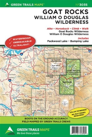
- Green TrailsMap 303S - Goat Rocks - William O. Douglas Wilderness Map$14.00


Sort: Best Match