
Green Trails Map 332S - Mount St. Helens National Volcanic Monument
This product is not available.
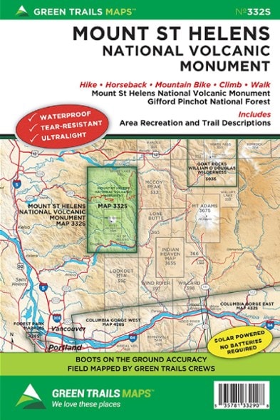
With accurate and beautiful topographic detail, the Green Trails Mount St. Helens National Volcanic Monument map (332S) is your boots-on-the-ground guide to this geologically rich volcanic landscape.
Shop similar products- Covers Mount Saint Helens National Volcanic Monument and Gifford Pinchot National Forest, with area recreation and trail descriptions for easy trip-planning
- Green Trails Maps show the most current trail, road, and access information to national forests, national parks, state and local parks and other public lands
- Printed on waterproof and tear-resistant paper, this map withstands the rigors of adventures in less than ideal conditions
Made in USA.
View all Green Trails Washington and Oregon Maps| Best Use | Hiking |
|---|---|
| Folded Dimensions | 9 x 6 inches |
| Unfolded Dimensions | 24 x 18 inches |
| Map Scale | 1:63,360 |
| Double Sided | Yes |
| Waterproof | Yes |
| Publisher | Green Trails Maps |
| Copyright Year | 2016 |
| State / Province | Washington |
| Map Number | 332S |
Write a Review
Adding a review will require a valid email for verification
4 years ago
Best Maps for my Horseback back country trips
great trail maps to take along, rain resistant , accurate, and work in the valleys when there is no phone signal. Inspires planning for where to go next as well...
Age:75 or over
3 years ago
Yes , I recommend this product
Age:75 or over