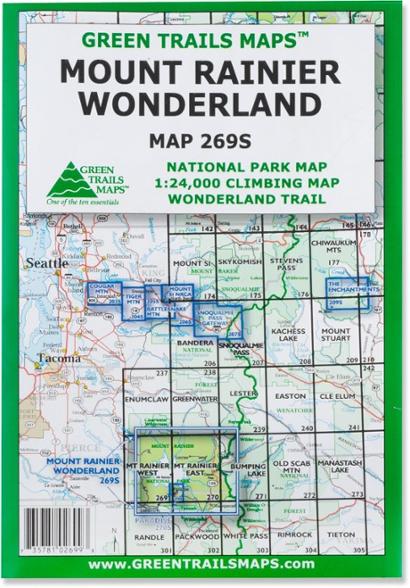
Green Trails Map 269S - Mount Rainier Wonderland
The Green Trails Mount Rainier Wonderland map offers a beautifully detailed topographic guide to Mount Rainier National Park and the famous Wonderland Trail.
- Printed on waterproof and tear-resistant paper, this map stands up to the rigors of your outdoor adventure
- One side features the entire national park at a scale of 1:63,360; the other side shows a 1:24,000 climbing map with the most popular routes to the summit
- Map includes a Wonderland Trail elevation profile, GPS waypoints and climbing route details
Made in USA.
View all Green Trails Washington and Oregon Maps| Best Use | Hiking |
|---|---|
| State / Province | Washington |
| Unfolded Dimensions | 30 x 22.5 inches |
| Map Scale | 1:63,360 (main map); back: 1:24,000 (climbing routes) |
| Double Sided | Yes |
| Waterproof | Yes |
| Publisher | Green Trails Maps |
| Copyright Year | 2010 |
| Map Number | 269S |
Write a Review
Adding a review will require a valid email for verification
Map has limitations...
I planned my entire Wonderland Trail hike with the Green Trails map. The map is lightweight and waterproof. It folds up easy and I’m confident of its durability. On a side note, the map did not help with attaining the permit this year (my application was not chosen) and clearly does not possess magical powers. I highly recommend one!
REI exceptional customer service
I was coming in a couple days early for a business conference in Seattle and wanted to scratch off hiking Mt Rainier National Forest off my bucket list. Upon landing in SeaTac, I drove straight to REI, got some great local advice about several trails, and picked up a map to minimize the potential of getting lost. The advice from REI staff was dead-on and I am grateful. Thank you!
Same
Purchased to support planned visit to Mount Rainier National Park. Had excellent previous use of Green Trails Maps when hiking the north and west faces of Mount Baker; and the upper sections of the Hoh, Elwha, Solduck, and Quinault River Trails, all in the Olympic National Park. Also previously purchased the Green River Map depicting Mount St. Helens National Volcanic Park.
Good map
I used this as a backup to my phone while hiking the Wonderland trail. It's durable, provides good information, and is adequately detailed. I particularly appreciated the elevation/distance profile between campgrounds on the trail, and found myself using it in camp as a quick reference. I'd recommend it if you're planning on hiking the trail.
Maps, maps…
Usable, some details slightly outdated, accurate enough for my needs

