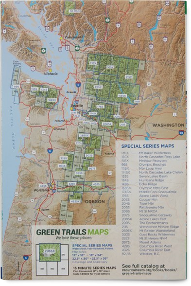
Green Trails Map 209S - The Enchantments: Stuart Range
Focusing on the area just northeast of Mount Stuart, Green Trails Map 209S - The Enchantments: Stuart Range is your guide to recreation in this stunning alpine region.
- Green Trails Maps show current trail, road and access information to national forests, national parks, state and local parks, and other public lands
- Covers Mount Stuart and portions of the Okanogan-Wenatchee Forest and Alpine Lakes Wilderness
Made in USA.
View all Green Trails Washington and Oregon Maps| Best Use | Hiking |
|---|---|
| State / Province | Washington |
| Folded Dimensions | 9 x 6 inches |
| Unfolded Dimensions | 18 x 12 inches |
| Map Scale | 1:69,500 |
| Double Sided | Yes |
| Waterproof | Yes |
| Publisher | Green Trails Maps |
| Copyright Year | 2021 |
| Map Number | 209S |
Write a Review
Adding a review will require a valid email for verification
WA State Enchantments Map - very disappointed
Not a very useful $12 map. Doesn't show much detail. I expected a USGS 7.5 min topo or better map with a lot of details that would be helpful in exploring the Enchantments. I was sadly disappointed. This was maybe 8.5 x 11 size unfolded. Mapmakers could do much better. Ridiculously bad.

