Skip to search results
loaded 14 results
Outdoor Trail Maps Colorado Maps
(14 products)Products (14)
Sort: Best Match
- Outdoor Trail MapsColorado Lizard Head/Mount Sneffels Wilderness Map$8.95
- Outdoor Trail MapsColorado Indian Peaks/James Peak Wilderness Map$9.95
- Outdoor Trail MapsColorado Sangre de Cristo Wilderness North Map$8.95
- Outdoor Trail MapsColorado Flat Tops Wilderness Map$8.95
- Outdoor Trail MapsColorado 14ers Series Map - Pikes Peak$5.95
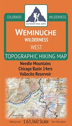
- Outdoor Trail MapsColorado Weminuche Wilderness West Map$8.95
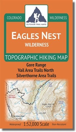
- Outdoor Trail MapsColorado Eagles Nest Wilderness Map$8.95
- Outdoor Trail MapsColorado Weminuche Wilderness East Map$9.95
- Outdoor Trail MapsColorado Rocky Mountain National Park Map$10.95
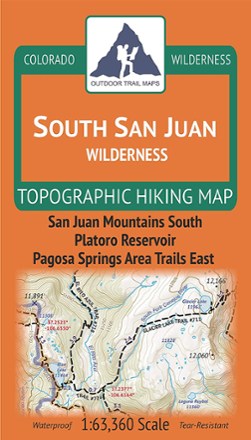
- Outdoor Trail MapsColorado South San Juan Wilderness Map$9.95
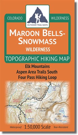
- Outdoor Trail MapsColorado Maroon Bells-Snowmass Wilderness Map$9.95
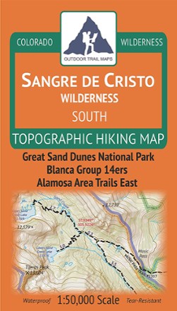
- Outdoor Trail MapsColorado Sangre de Cristo Wilderness South Map$8.95
- Outdoor Trail MapsColorado Greenhorn Mountain/Spanish Peaks Wilderness Map$8.95
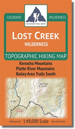
- Outdoor Trail MapsColorado Lost Creek Wilderness Map$8.95

Earn 15% in total rewards
Get 5% on all REI Co-op purchases plus the 10% Co-op Member Reward you earn on eligible full-price purchases.
Apply now
Terms apply


Sort: Best Match