

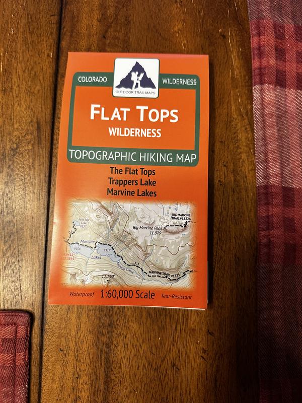
Outdoor Trail Maps Colorado Flat Tops Wilderness Map
This product is not available.
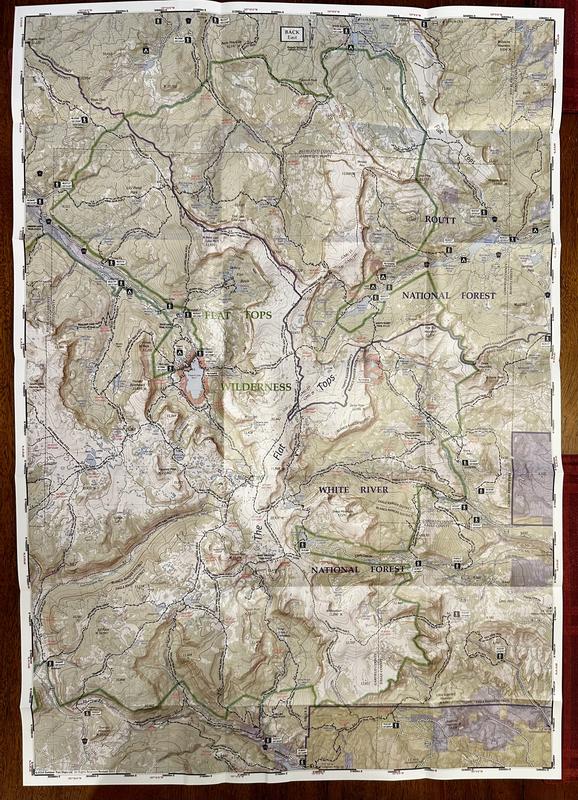
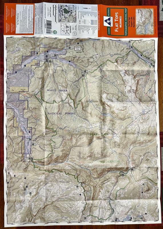
Colorado's Flat Tops Wilderness spans a whopping 230,000 acres—the second largest wilderness area in the state. Explore its hundreds of miles of hiking trails with this handy topographic map.
Shop similar products- Covers all hiking trails in the Flat Tops Mountains area of White River National Forest in north-central Colorado and surroundings, including Trappers Lake and Marvine Lakes
- Shows an incredible 400 miles of hiking trails within the wilderness boundary, along with another 150 miles of trails in the immediate surrounding areas
- This rugged trail map was designed for on-trail use in the toughest outdoor conditions in a compact and easy-to-fold size—no more fumbling with huge, inaccurate maps
- Printed on waterproof and tear-resistant material
- Mileage provided for all trail segments
- GPS coordinates provided for trailheads and trail junctions
Made in USA.
View all Outdoor Trail Maps Colorado Maps| Best Use | Hiking |
|---|---|
| Folded Dimensions | 7 x 4 inches |
| Unfolded Dimensions | 27 x 19 inches |
| Map Scale | 1:60,000 |
| Double Sided | Yes |
| Waterproof | Yes |
| Publisher | Outdoor Trail Maps |
| Copyright Year | 2018 |
| State / Province | Colorado |
Write a Review
Adding a review will require a valid email for verification
Customer Images
Location:Colorado
Age:55–64
1 year ago
Wilderness map that is great for covering miles
Yes , I recommend this product
Great coverage and clarity for the size and weight.
Age:55–64