Skip to search results
loaded 61 results
California Maps
(61 products)Products (61)
Sort: Best Match
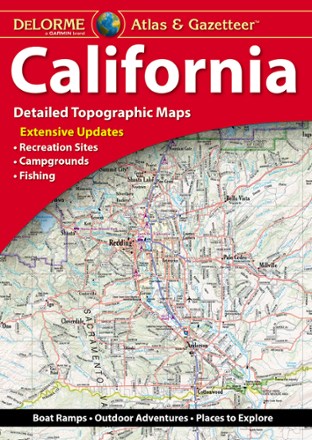
- DeLormeCalifornia Atlas and Gazetteer$29.95
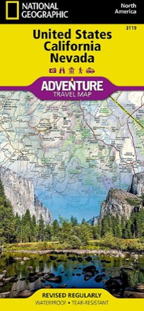
- National GeographicUnited States California and Nevada Adventure Travel Map$14.95
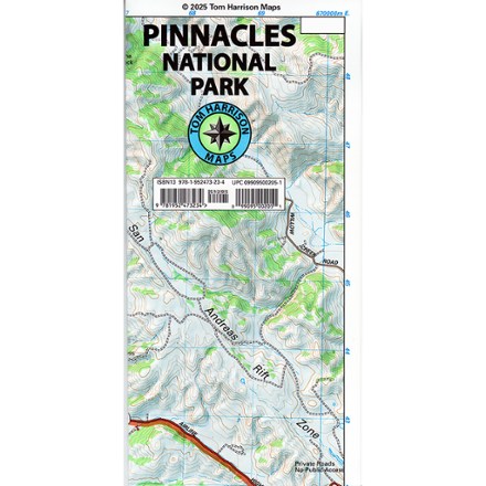
- Tom Harrison CartographyPinnacles National Park Map$12.95
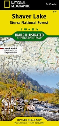
- National GeographicShaver Lake: Sierra National Forest Topographic Map$14.95
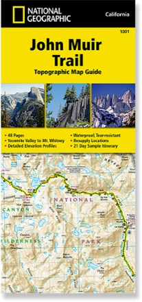
- National GeographicJohn Muir Trail Topographic Map GuideTop Rated$14.95
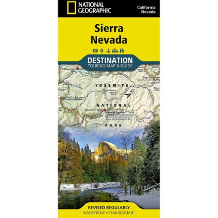
- National GeographicSierra Nevada Destination Map$14.95
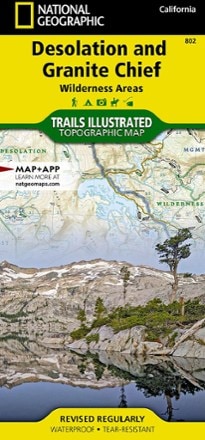
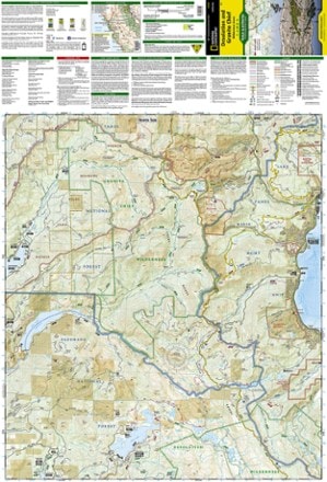
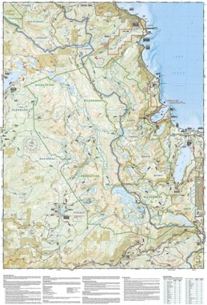
- National GeographicDesolation and Granite Chief Wilderness Areas Topographic Map$14.95
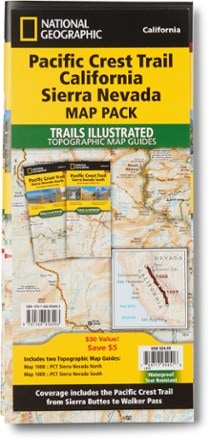
- National GeographicPacific Crest Trail Topographic Map Guide: California Sierra Nevada Map Pack$24.95
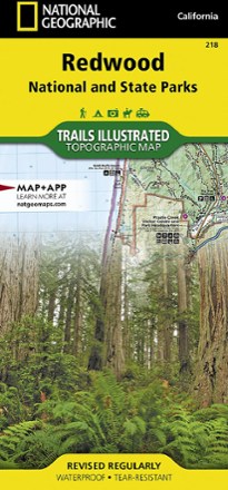
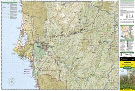
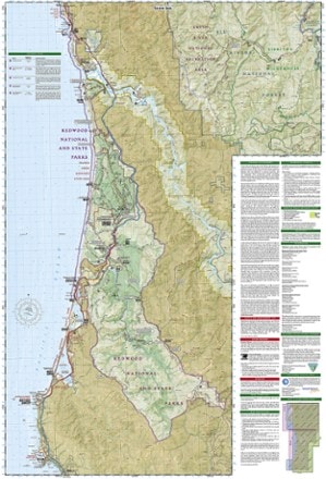
- National GeographicRedwood National Park Trail MapTop Rated$14.95
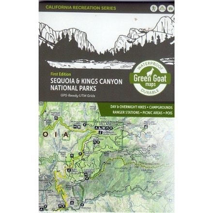
- Green Goat MapsSequoia & Kings Canyon National Parks Map - 1st Edition$14.95
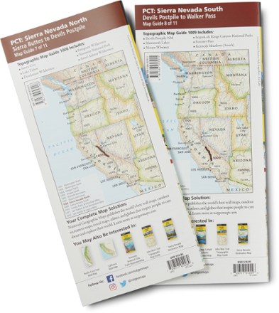
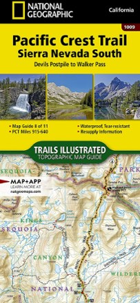
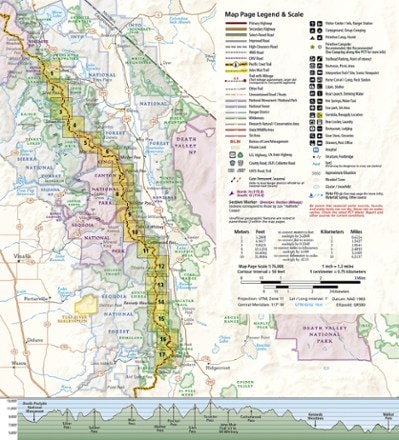
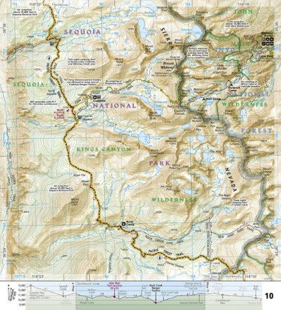
- National GeographicPacific Crest Trail Topographic Map Guide: Sierra Nevada South$14.95
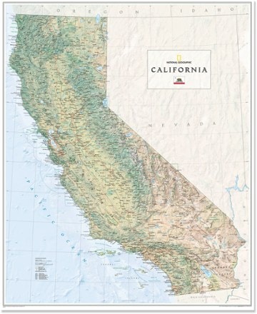
- National GeographicCalifornia Wall Map - Tubed$24.95
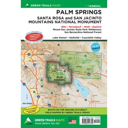
- Green TrailsMap 1458SXL - Palm Springs$20.00
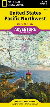
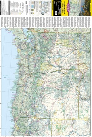
- National GeographicUnited States Pacific Northwest Adventure Map$14.95
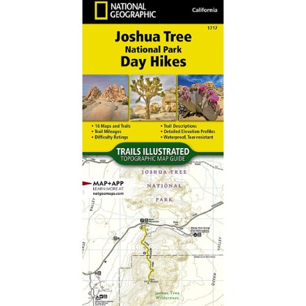
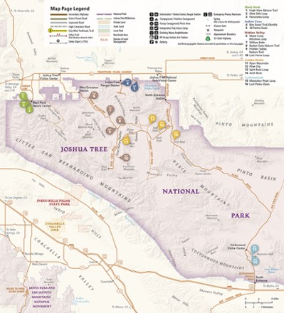
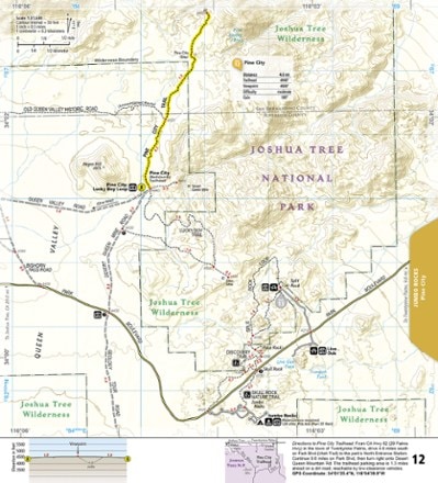
- National GeographicJoshua Tree National Park Day Hikes Topographic Map Guide$14.95
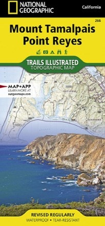
- National GeographicMount Tamalpais & Point Reyes Map$14.95
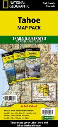
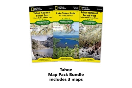
- National GeographicTahoe Map Pack$34.95
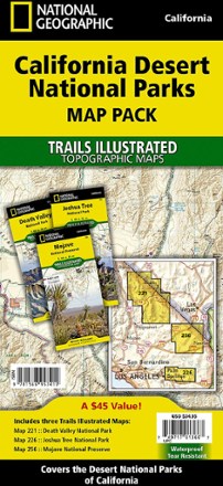
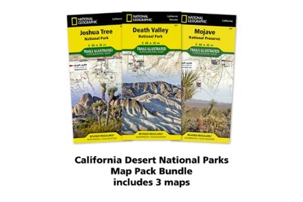
- National GeographicCalifornia Desert National Parks Map Pack$34.95
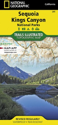
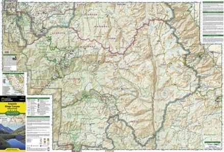
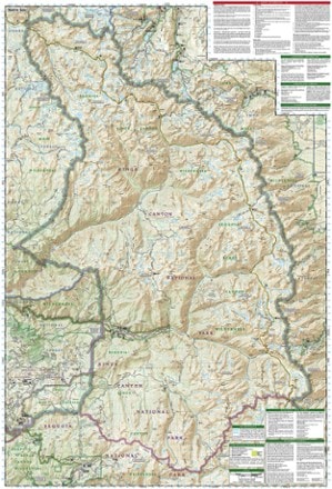
- National GeographicSequoia and Kings Canyon National Park Trail MapTop Rated$14.95
- Map & Guide to Yosemite Valley - 22nd Edition$4.95

Earn 15% in total rewards
Get 5% on all REI Co-op purchases plus the 10% Co-op Member Reward you earn on eligible full-price purchases.
Apply now
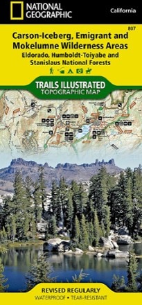
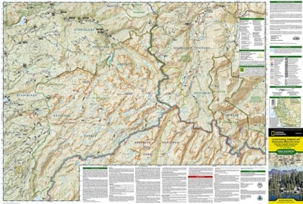
Terms apply- National GeographicCarson-Iceberg, Emigrant & Mokelumne Wilderness Areas Topographic Map$14.95
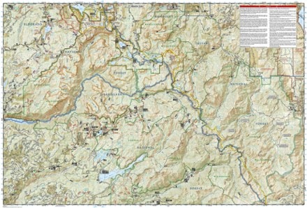
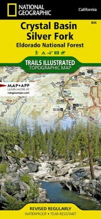
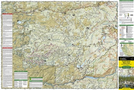
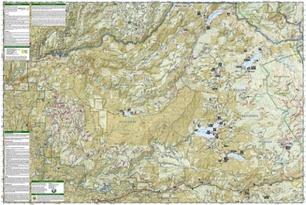
- National GeographicCrystal Basin / Silver Fork: Eldorado National Forest Topographic Map$14.95
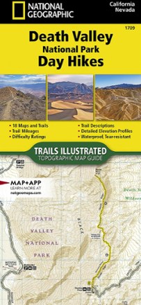
- National GeographicDeath Valley National Park Day Hikes Topographic Map Guide$14.95
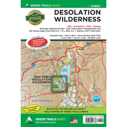
- Green TrailsMap 1138SX - Desolation Wilderness$18.00
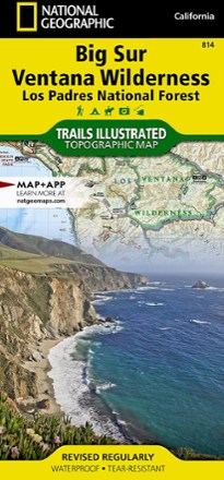
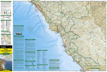
- National GeographicBig Sur / Ventana Wilderness Topographic Map$14.95
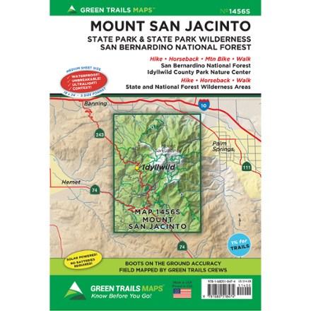
- Green TrailsMap 1456S - Mount San Jacinto$14.00
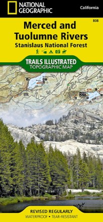
- National GeographicMerced & Tuolumne Rivers Topographic Map$14.95
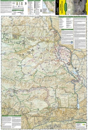
- National GeographicLos Padres National Forest East Trail Map$14.95
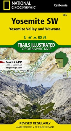
- National GeographicYosemite National Park SW - Yosemite Valley/Wawona$11.95
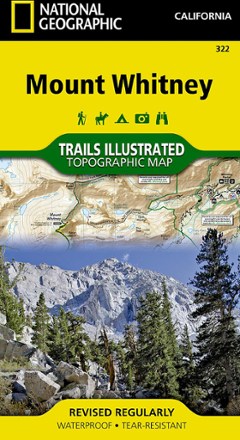
- National GeographicMount Whitney Map$11.95


1–30 of 61 products
Sort: Best Match