
Green Trails Map 1138SX - Desolation Wilderness
$18.00
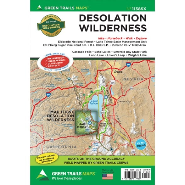
Explore the Desolation Wilderness region of California with this Green Trails map. It's printed on waterproof paper to hold up through your adventures.
- Covers Eldorado National Forest, Lake Tahoe Basin Management Unit, Ed Z'berg Sugar Pine Point State Park, D.L. Bliss State Park, and Rubicon OHV Trail/Area
- Also covers Cascade Falls, Echo Lakes, Emerald Bay State Park, Loon Lake, Lover's Leap and Wrights Lake
- Green Trails Maps show the most current trail, road and access information to national forests, national parks, state and local parks, and other public lands
Made in USA.
View all Green Trails California Maps| Best Use | Hiking |
|---|---|
| State / Province | California |
| Folded Dimensions | 9 x 6 inches |
| Unfolded Dimensions | 30 x 22.5 inches |
| Map Scale | 1:38,000 |
| Double Sided | Yes |
| Waterproof | Yes |
| Publisher | Green Trails Maps |
| Copyright Year | 2025 |
| Sustainability | Contains recycled materials |
| Map Number | 1138SX |
Be the first to write a review!
Adding a review will require a valid email for verification