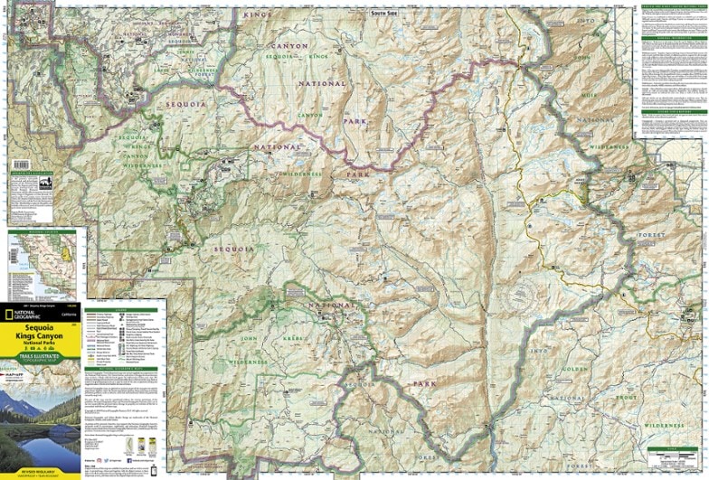
National Geographic Sequoia and Kings Canyon National Park Trail Map
This National Geographic Trails Illustrated folded map offers comprehensive coverage of California's Sequoia and Kings Canyon national parks.
- Provides valuable wilderness tips and Leave No Trace guidelines, along with updated trails, trailheads, points of interest, campgrounds and much more
- Printed on waterproof, tear-resistant material with a plastic coating that offers the durability needed for outdoor use
- Includes selected waypoints in both lat./lon. and UTM coordinate systems as well as GPS-compatible UTM grid lines for easy navigation
- Measures 9.25 x 4.25 in. folded and 37.75 x 25.5 in. fully opened; scale of 1:80,000
- National Geographic Maps; copyright 1983, revised 2006
Made in USA.
View the National Geographic Trails Illustrated Product LineView all National Geographic California Maps| Best Use | Hiking |
|---|---|
| State / Province | California |
| Map Number | 205 |
Write a Review
Adding a review will require a valid email for verification
Customer Images
Most Helpful Favorable Review
Most Helpful Critical Review
SEKI Slick
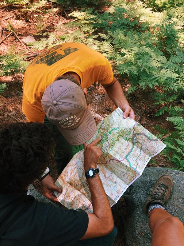
These are the best non-digitized maps you can carry, in my opinion. I have no doubt there are more sophisticated methods of determining your location on the planet. Somehow, I still think a physical, tactile map is a must for any back country trip. Do you have to fold and refold it while hiking? Yes. But that's half the fun. These maps have great aesthetics, with clear markings, and--best of all--they are waterproof/tear resistant. In the end, could they be a few dollars less? Yeah, that'd be dope. Until then, I'll grumble any time I buy a new one (location), but be thankful I have it when I find myself on the trail.
This map is inaccurate!
This is a great quality map! But the details are inaccurate. It contains trails that have long been abandoned and no longer exist. Some of it's elevation markers are are off by 1,000 feet or more. This map provides great information about SEKI and for the most part will get you where you need to go, but I suggest cross referencing with another map/guide in order to prevent navigational frustration.
AWESOME MAP
I love the NG Trails Illustrated series. This one has everything. A must own. Although, I think they recently jacked up the price by [$], but it is still a good deal.
Very detailed map
Incredibly detailed and helpful map if you’re planning a hike in the Sequoia Kings Canyon area. Very glad I picked one up.
Helped me follow granddaughter’s trek.
My granddaughter recently went on a 28 day hiking & camping tour in this area. I had a copy of her itinerary and was able to follow her route with this map. With the map and internet I kept up with her groups progress. I gave her the map on her return as a memento. Now she and her Dad are planning a trip, using the map, in the same area.
Trusted trail source
I always buy these maps when I visit national parks, I love using them with the elevations, trails, and material it's made out of. I was disappointed in this edition because it was missing Hume lake and a small portion of Hwy 180 that has additional trails. Besides that it worked great for my trip.
Useful for day hiking and backpacking
Map scale is somewhat larger than other available maps, so easier to read. Map shows road, trails, and topography. Trails show the distance in miles between junctions, which is helpful for trip planning.


