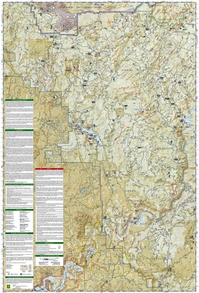


National Geographic Shaver Lake: Sierra National Forest Topographic Map
$14.95
The Trails Illustrated Shaver Lake: Sierra National Forest Topographic Map will help you navigate off the beaten path and back again, all around this very popular area of the Sierras in California.
- Clearly marked trailheads point you to trails that are colored according to their designated use and have mileage markers between intersections
- Includes National Recreation trails such as Columns of the Giants, Rancheria Falls and Lewis Creek Trail
- The Kings Wild and Scenic River is also clearly shown along with a river difficulty scale chart for whitewater rafting
- Easy-to-read, yet highly detailed map shows comprehensive trail and road networks, along with designated trails for hiking, horseback riding, biking and more
- Clearly marked navigational aids with UTM coordinate grids, scale bar and full legend, essential for safely navigating the backcountry with GPS or compass
- Features key points of interest such as scenic views, campgrounds, trailheads, boat launches and picnic sites
- Color-coded boundaries for public lands including national parks, national forests, national monuments, ranger districts, wilderness areas, state parks and wildlife refuges
- 1:63,360 scale
- Printed in the USA on durable, lightweight, waterproof and tear-resistant material designed to withstand all weather conditions
- Folded dimensions: 4.25 x 9.25 in.; unfolded dimensions: 25.5 x 37.75 in.
- National Geographic Maps; copyright 2008
Made in USA.
View the National Geographic Trails Illustrated Product LineView all National Geographic California Maps| Best Use | Hiking |
|---|---|
| State / Province | California |
| Map Number | 810 |
Write a Review
Adding a review will require a valid email for verification
Location:Santa Barbara, California
Age:65–74
3 months ago
Paper Topo Map for effective navigation
Yes , I recommend this product
Detailed topographic map will be useful for driving meandering forest service roads to trailheads. Also uUseful for hiking and backpacking. Especially where there is no cell phone signal.
Age:65–74
3 years ago