Skip to search results
loaded 76 results
New England and Mid-Atlantic Maps
(76 products)Products (76)
Sort: Best Match
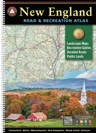
- Benchmark MapsNew England Road & Recreation Atlas$34.95
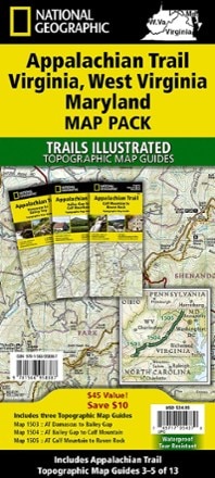
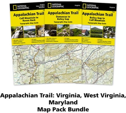
- National GeographicAppalachian Trail Map Pack: Virginia, West Virginia, MarylandTop Rated$34.95
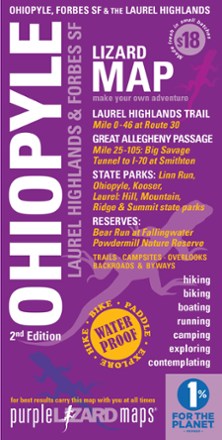
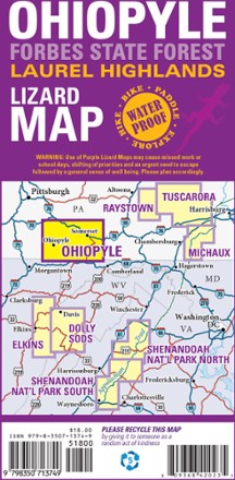
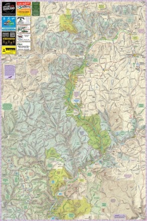
- Purple Lizard MapsOhiopyle-Laurel Highlands Lizard Map$17.95
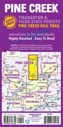
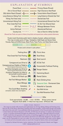
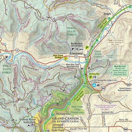
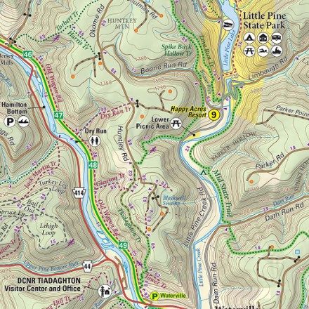
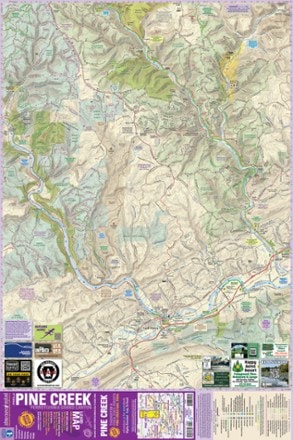
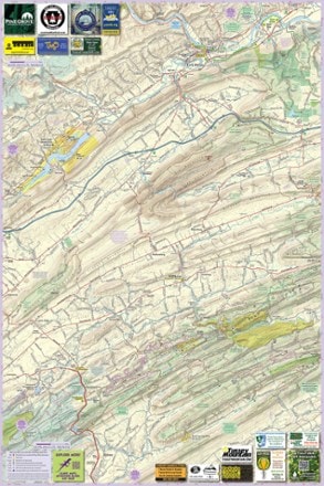
- Purple Lizard MapsPine Creek Pennsylvania Grand Canyon Map$18.00
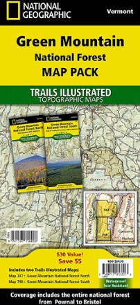
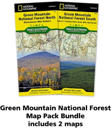
- National GeographicGreen Mountain National Forest Topographic Map Pack$24.95
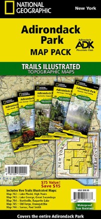
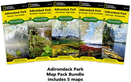
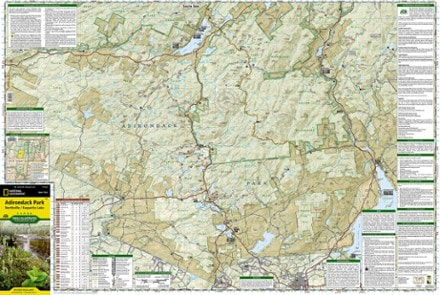
- National GeographicAdirondack Park Topographic Map Pack$59.95
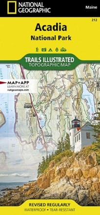
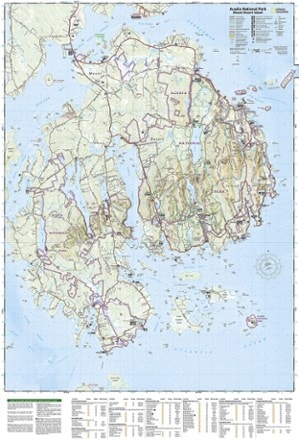
- National GeographicAcadia National Park Trail MapTop Rated$14.95
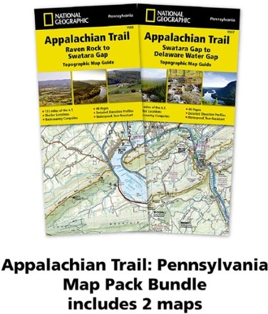
- National GeographicAppalachian Trail Map Pack: Pennsylvania$24.95
- New York New Jersey TrailHarriman-Bear Mountain Trails Map Set - 2023 - 20th Edition$10.95
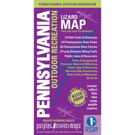
- Purple Lizard MapsPennsylvania Outdoor Recreation Map$20.00
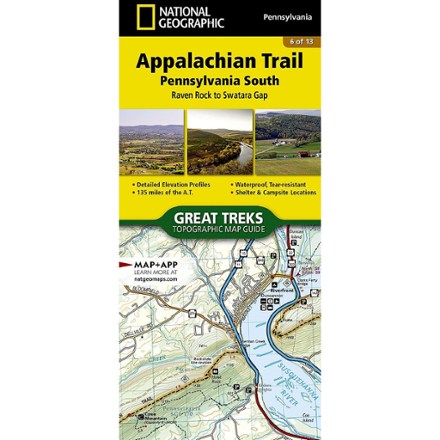
- National GeographicAppalachian Trail: Pennsylvania South Topographic Map Guide$14.95
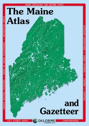
- DeLormeMaine Atlas and Gazetteer - 2022 Edition$29.95
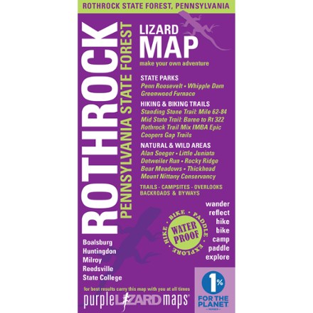
- Purple Lizard MapsRothrock Pennsylvania State Forest Map - 8th Edition$20.00
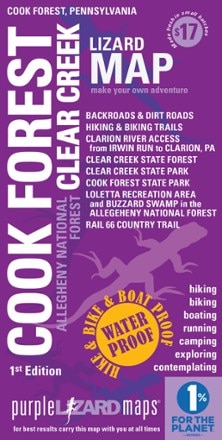
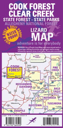
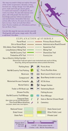
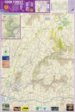
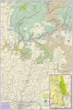
- Purple Lizard MapsCook Forest Clear Creek Map$17.00
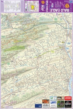
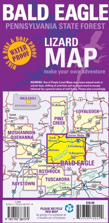
- Purple Lizard MapsBald Eagle Pennsylvania State Forest Map - 4th Edition$18.00
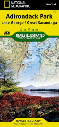
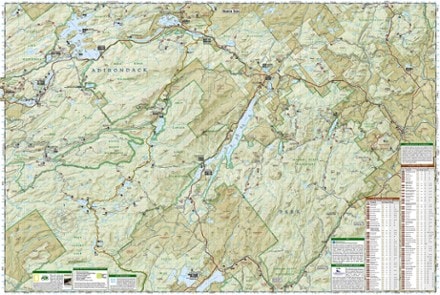
- National GeographicAdirondack Park - Lake George/Great Sacandage Lake Trail Map$14.95
- National GeographicNorthville/Raquette Lake Trail Map$14.95
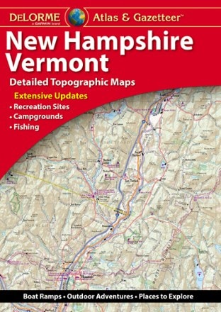
- DeLormeNew Hampshire/Vermont Atlas and Gazetteer$29.95
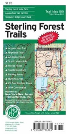
- New York New Jersey TrailSterling Forest Trails Map - 8th Edition$7.95
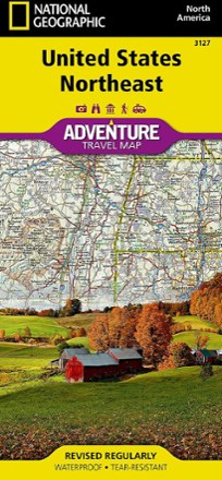
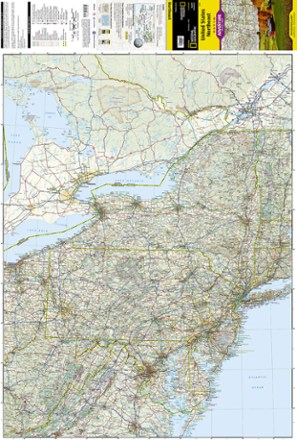
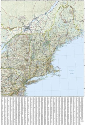
- National GeographicUnited States Northeast Adventure Travel Map$14.95
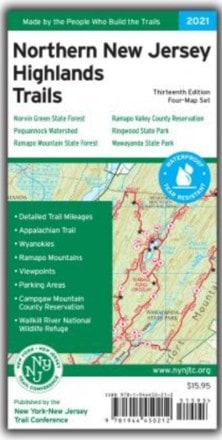
- New York New Jersey TrailNorthern New Jersey Highlands Trails - 13th Edition$15.95
- New York New Jersey TrailCatskills Trails Map 2023 - 13th Edition$17.95
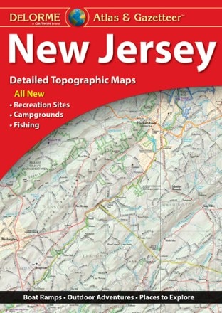
- DeLormeNew Jersey Atlas and Gazetteer$29.95
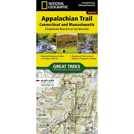
- National GeographicAppalachian Trail: Connecticut and Massachusetts Topographic Map Guide$14.95

- AMCWhite Mountain National Forest Map and Guide$9.95
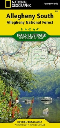
- National GeographicAllegheny South: Allegheny National Forest Topographic Map$14.95
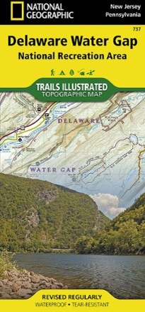
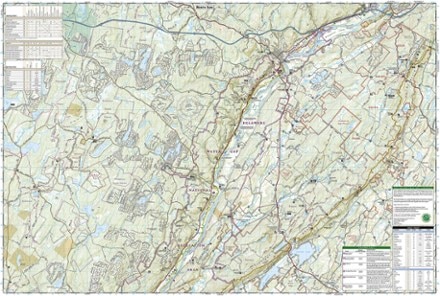
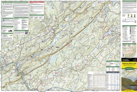
- National GeographicDelaware Water Gap Map$14.95
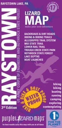
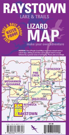
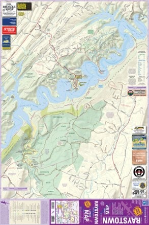
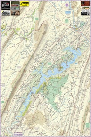
- Purple Lizard MapsRaystown Lake Pennsylvania$17.00
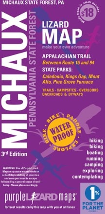
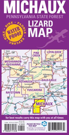
- Purple Lizard MapsMichaux Pennsylvania State Parks & Forests Map - 3rd Edition$17.95
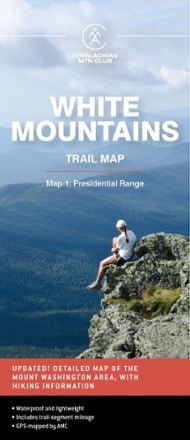
- AMCWhite Mountains Trail Map 1 Presidential Range - 31st Edition$12.95


1–30 of 76 products
Sort: Best Match