Skip to search results
loaded 4 results
Cairn Cartographics Mountain West Maps
(4 products)Products (4)
Sort: Best Match
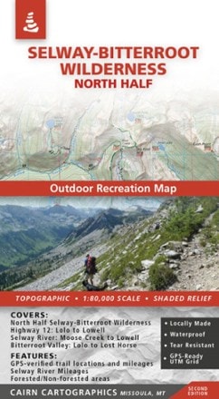
- Cairn CartographicsSelway-Bitterroot Wilderness: North Half Outdoor Recreation Map$15.95
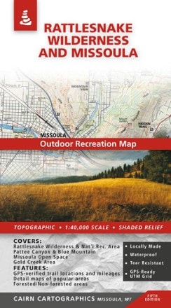
- Cairn CartographicsRattlesnake Wilderness and Missoula Outdoor Recreation Map - 5th Edition$13.95
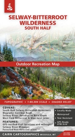
- Cairn CartographicsSelway-Bitterroot Wilderness: South Half Outdoor Recreation Map$15.95
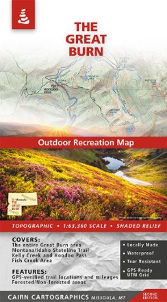
- Cairn CartographicsThe Great Burn Map - 2nd Edition$15.95

Earn 15% in total rewards
Get 5% on all REI Co-op purchases plus the 10% Co-op Member Reward you earn on eligible full-price purchases.
Apply now
Terms apply

Sort: Best Match