Skip to search results
loaded 10 results
New York New Jersey Trail New England and Mid-Atlantic Maps
(10 products)Products (10)
Sort: Best Match
- New York New Jersey TrailCatskills Trails Map 2023 - 13th Edition$17.95
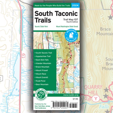
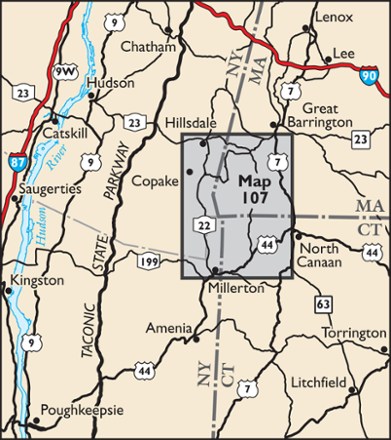
- New York New Jersey TrailSouth Taconic Trails Map - 4th Edition$7.95
- New York New Jersey TrailEast Hudson Trails Map - 13th Edition$11.95
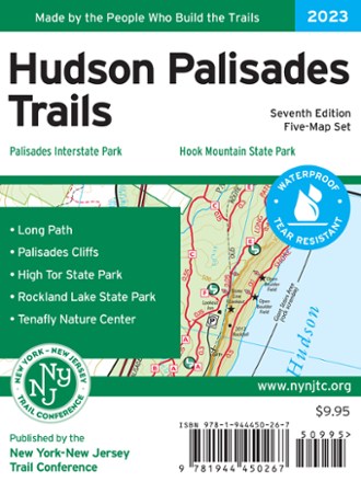
- New York New Jersey TrailHudson Palisades Trails Map Set - 7th Edition$9.95
- New York New Jersey TrailNorthern New Jersey Highlands Trails - 13th Edition$15.95
- New York New Jersey TrailShawangunk Trails Map Set - 11th Edition$11.95
- New York New Jersey TrailMorris County Highlands Trails Map 2023 - 3rd Edition$9.95
- New York New Jersey TrailWest Hudson Trails Map Set - 8th Edition$9.95
- New York New Jersey TrailSterling Forest Trails Map - 8th Edition$7.95
- New York New Jersey TrailHarriman-Bear Mountain Trails Map Set - 2023 - 20th Edition$10.95

Earn 15% in total rewards
Get 5% on all REI Co-op purchases plus the 10% Co-op Member Reward you earn on eligible full-price purchases.
Apply now
Terms apply


Sort: Best Match