Skip to search results
loaded 9 results
AMC New England and Mid-Atlantic Maps
(9 products)Products (9)

Sort: Best Match
- AMCMaine Mountains Trail Map: Maps 3-6 - 12th Edition$12.95
- AMCNew England Trail Map & Guide: Massachusetts-Connecticut - 2nd Edition$14.95
- AMCWhite Mountains Trail Map 1 Presidential Range - 31st Edition$12.95
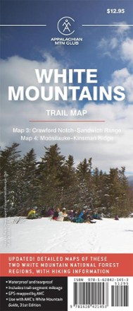
- AMCWhite Mountains Trail Maps 3 and 4 - 31st Edition$12.95
- AMCMaine Mountains Trail Maps 1 and 2 - 12th Edition$12.95
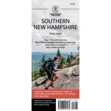
- AMCSouthern New Hampshire Trail Map - 6th Edition$12.95
- AMCWhite Mountain National Forest Map and Guide$9.95
- AMCWhite Mountain National Forest Trail Map Set$29.95
- AMCWhite Mountains Trail Map 2: Franconia-Pemigewasset - 31st Edition$12.95


Sort: Best Match