Skip to search results
loaded 5 results
DeLorme New England and Mid-Atlantic Maps
(5 products)Products (5)
Sort: Best Match
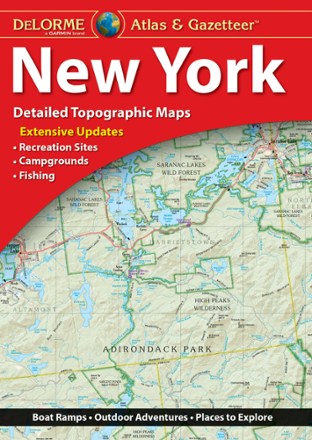
- DeLormeNew York Atlas and Gazetteer$29.95
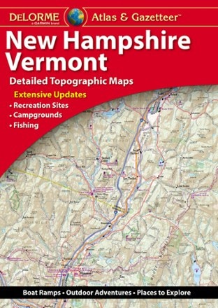
- DeLormeNew Hampshire/Vermont Atlas and Gazetteer$29.95
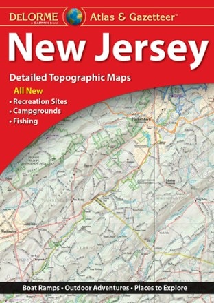
- DeLormeNew Jersey Atlas and Gazetteer$29.95
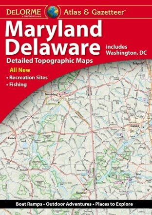
- DeLormeMaryland/Delaware Atlas and Gazetteer$29.95
- DeLormeMaine Atlas and Gazetteer - 2022 Edition$29.95

Earn 15% in total rewards
Get 5% on all REI Co-op purchases plus the 10% Co-op Member Reward you earn on eligible full-price purchases.
Apply now
Terms apply
Sort: Best Match