Skip to search results
loaded 8 results
Adventure Maps Washington and Oregon Maps
(8 products)Products (8)
Sort: Best Match
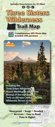
- Adventure MapsThree Sisters Wilderness Trail Map$13.95
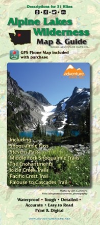
- Adventure MapsAlpine Lakes Wilderness Map & Guide - 2020$13.95
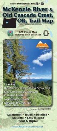
- Adventure MapsMcKenzie River & Old Cascade Crest, OR Trail Map$13.95
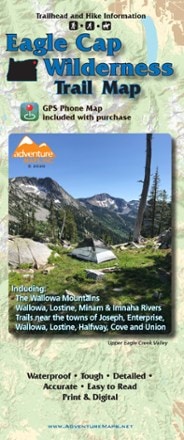
- Adventure MapsEagle Cap Wilderness Trail Map - 2020$14.95
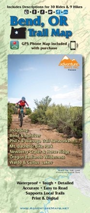
- Adventure MapsBend OR Trail Map$13.95
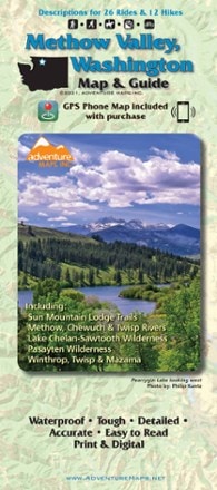
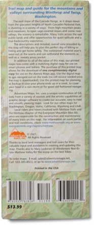
- Adventure MapsMethow Valley, Washington, Map and Guide$13.95
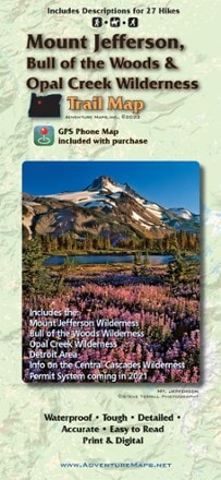
- Adventure MapsMount Jefferson, Bull of the Woods & Opal Creek Wilderness Trail Map$13.95
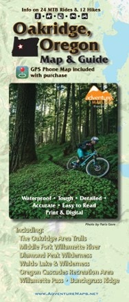
- Adventure MapsOakridge, Oregon Map & Guide - 2020$13.95

Earn 15% in total rewards
Get 5% on all REI Co-op purchases plus the 10% Co-op Member Reward you earn on eligible full-price purchases.
Apply now
Terms apply

Sort: Best Match