Adventure Maps Bend OR Trail Map
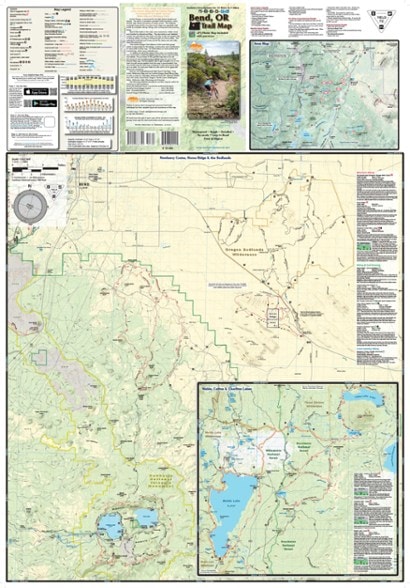
Explore the endless recreational opportunities of this idyllic mountain town by foot, bike, horse or ski with the detailed Adventure Maps Bend, Oregon, trail map complete with a matching digital map.
- Covers Bend and Sunriver; Phil's and Wanoga trail networks; Mt. Bachelor Bike Park; Newberry Crater and Horse Ridge; Oregon Badlands Wilderness; Waldo and Cultus lakes
- This topographic map is waterproof, tough, detailed, accurate and easy to read
- Includes a matching digital map that can be downloaded for use on your phone
- Portion of sales benefits local trails
Made in USA.
View all Adventure Maps Washington and Oregon Maps| Best Use | Multisport |
|---|---|
| State / Province | Oregon |
| Folded Dimensions | 9.75 x 4 x 0.25 inches |
| Unfolded Dimensions | 39 x 27 inches |
| Map Scale | 1:47,520; 1:63,630 |
| Double Sided | Yes |
| Waterproof | Yes |
| Publisher | Adventure Maps, Inc. |
| Copyright Year | 2022 |
Be the first to write a review!
Adding a review will require a valid email for verification

