Skip to search results
loaded 7 results
Garmin GPS Devices
(7 products)Products (7)
Sort: Best Match
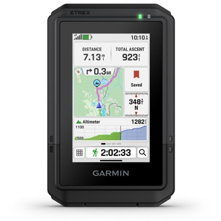
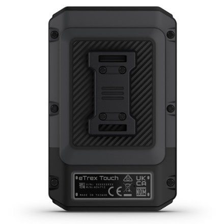
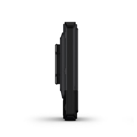
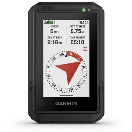
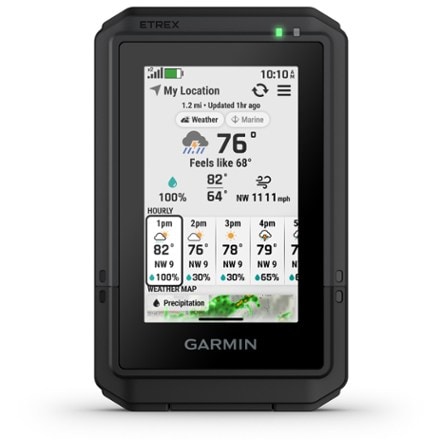
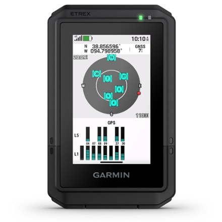
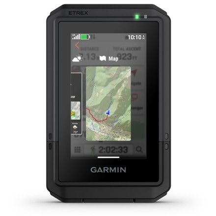
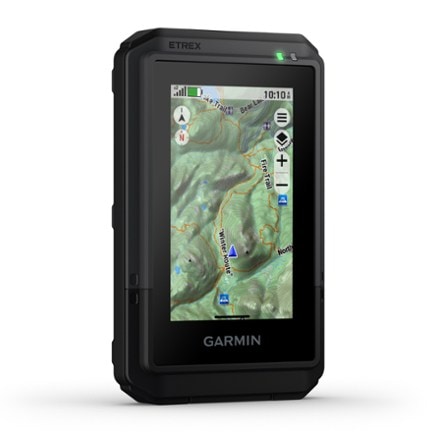
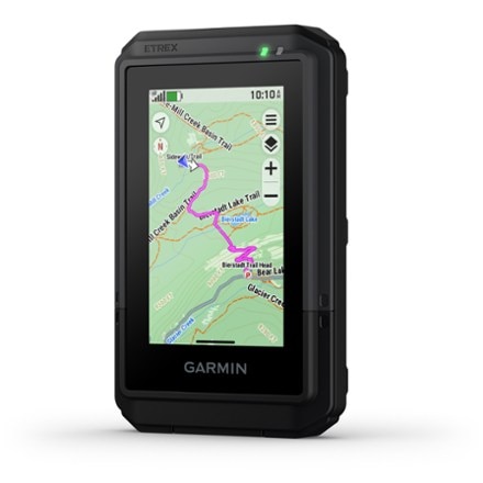
- GarmineTrex Touch$450.00Dimensions:4.15 x 2.6 x 0.97 in.Weight:5.3 ouncesPreloaded Map:Road / TopoNumber of Waypoints:UnlimitedInternal Memory:32 gigabytes
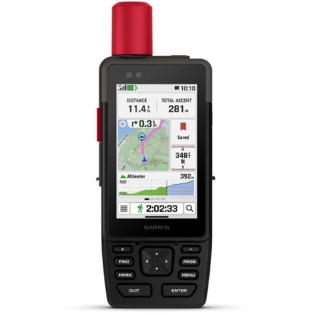
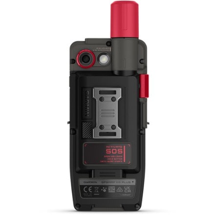
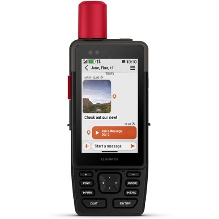
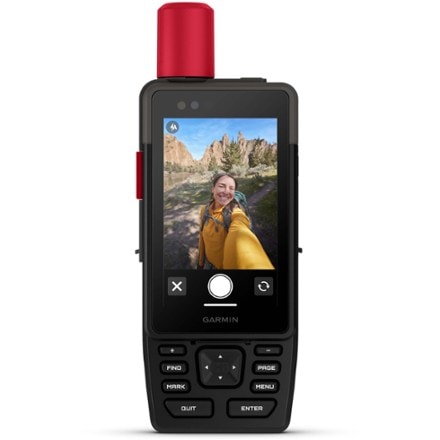
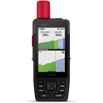
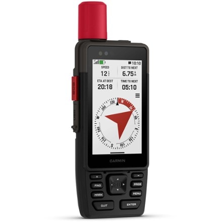
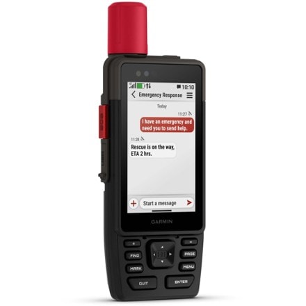
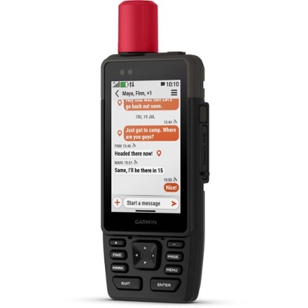
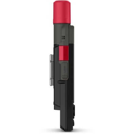
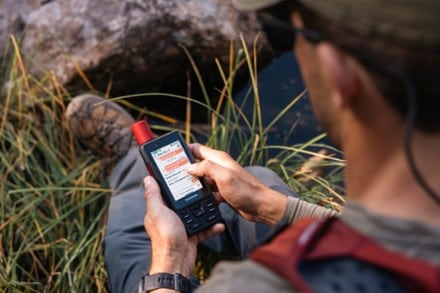
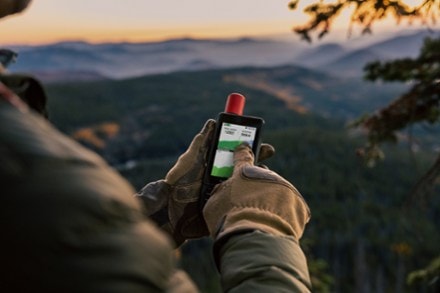
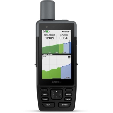
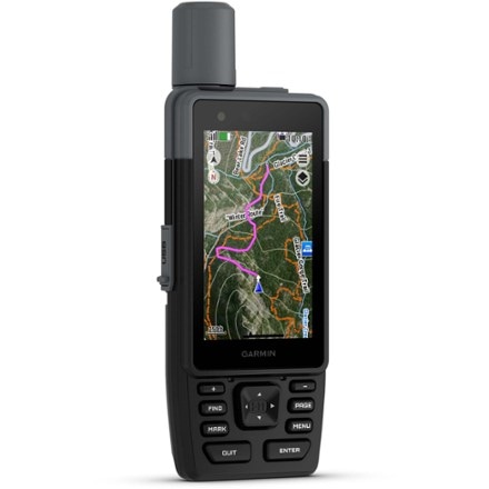
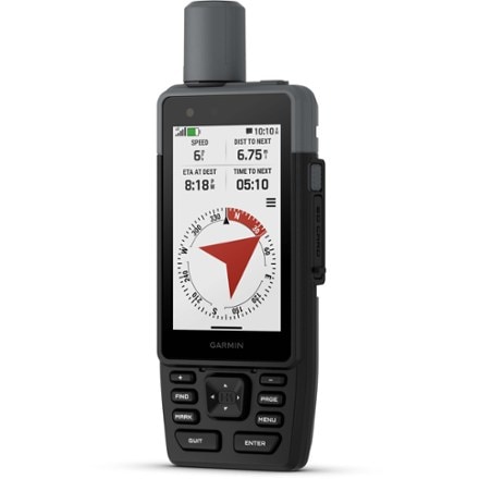
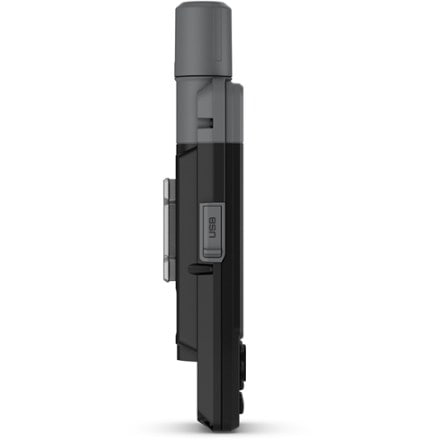
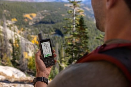
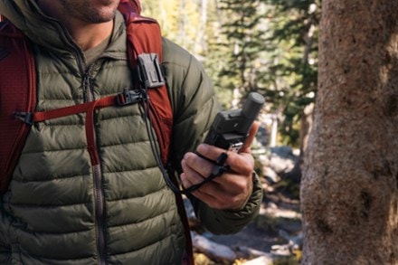
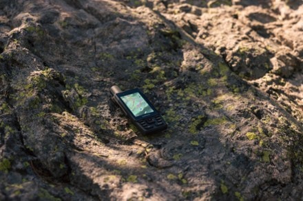
- GarminGPSMAP H1i Plus$1,000.00Dimensions:7 x 2.6 x 1.3 in.Weight:10.2 ouncesPreloaded Map:Road / TopoNumber of Waypoints:UnlimitedInternal Memory:64 gigabytes
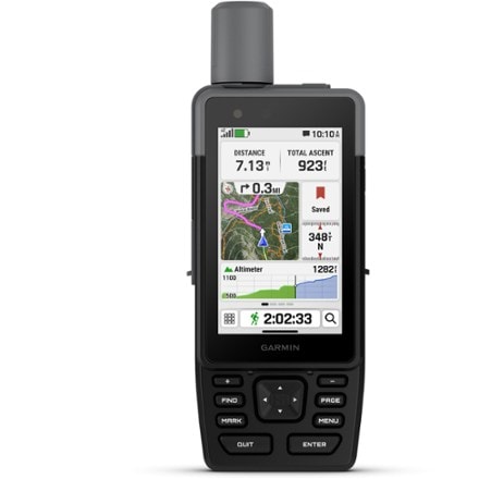
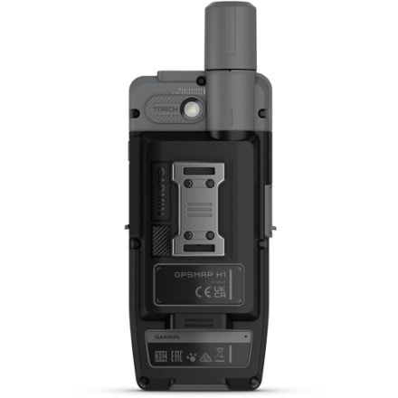
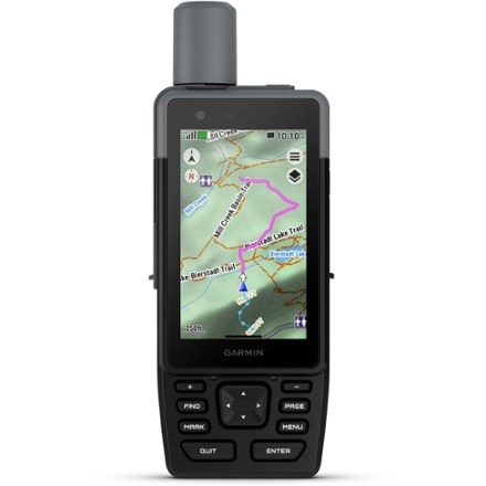
- GarminGPSMAP H1$700.00Dimensions:7 x 2.6 x 1.3 in.Weight:9.7 ouncesPreloaded Map:Road / TopoNumber of Waypoints:UnlimitedInternal Memory:64 gigabytes
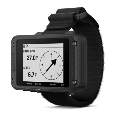
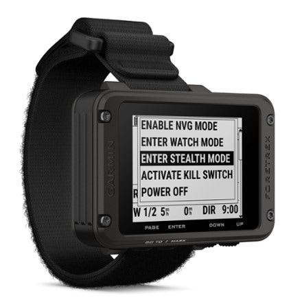
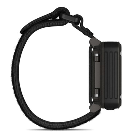
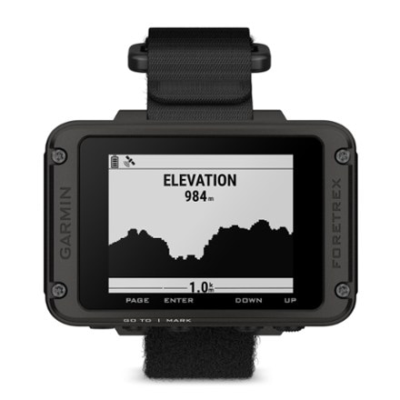
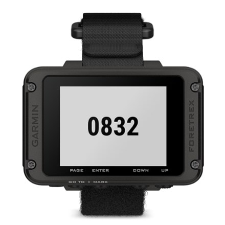
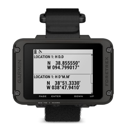
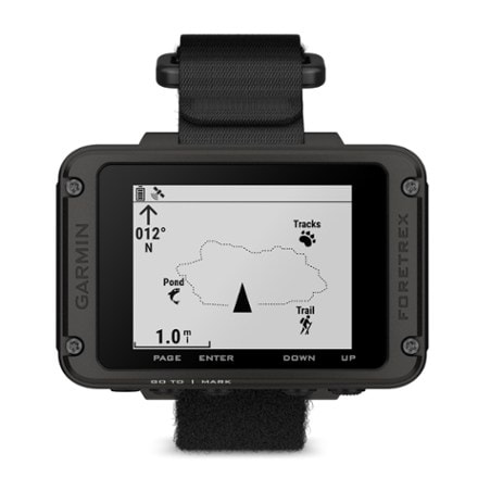
- GarminForetrex 801$250.00
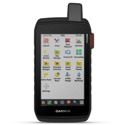
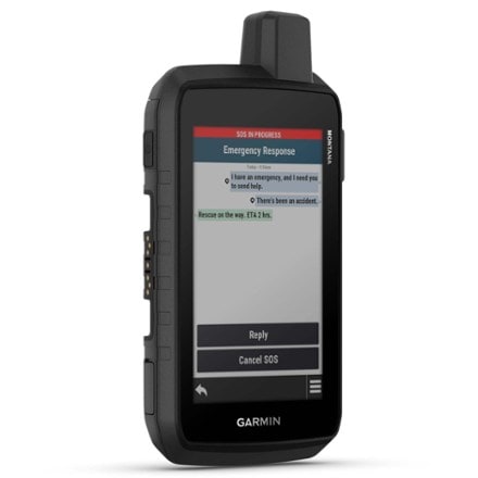
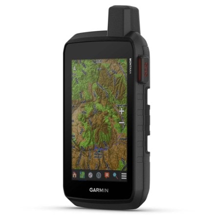
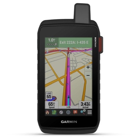
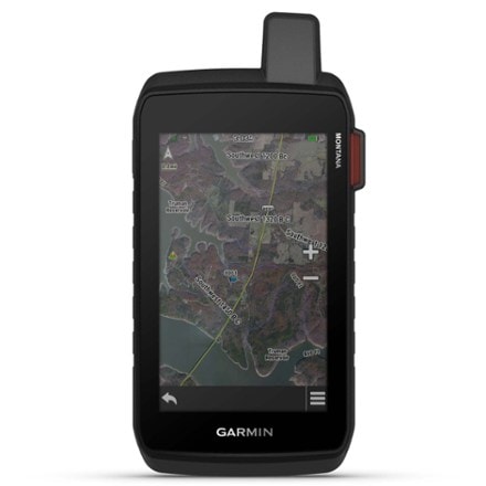
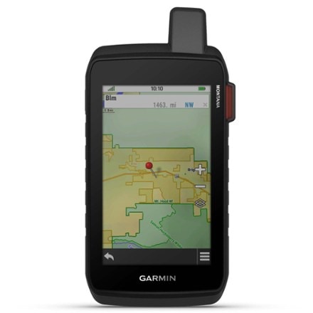
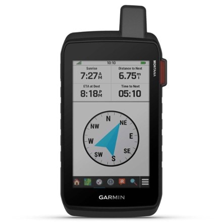
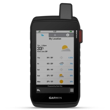
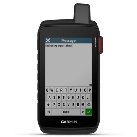
- GarminMontana 710i$800.00Dimensions:7.2 x 3.6 x 1.3 in.Weight:14.5 ouncesPreloaded Map:Road / TopoNumber of Waypoints:10,000Internal Memory:32 gigabytes
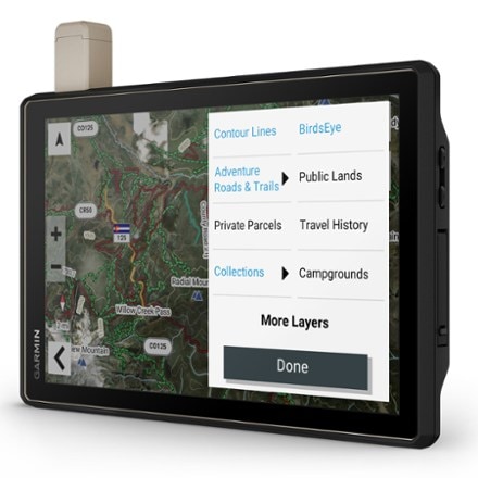
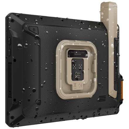
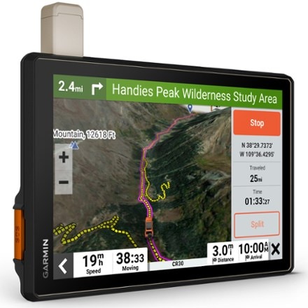
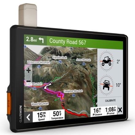
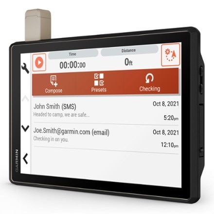
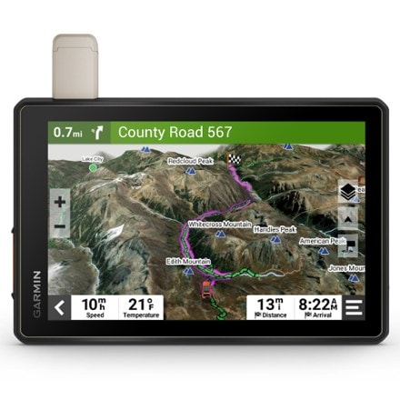
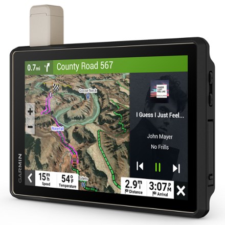
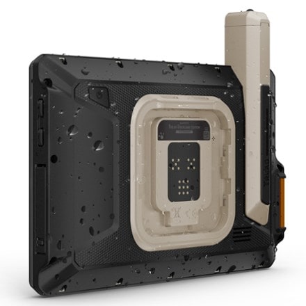
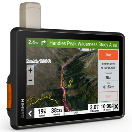
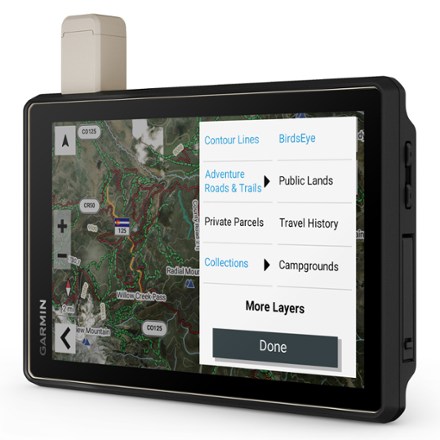
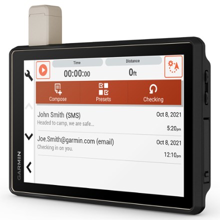
- GarminTread XL - Overland Edition$1,500.00Dimensions:9.9 x 7.8 x 1.2 in.Weight:2 lbs. 0.8 ozPreloaded Map:Road / TopoNumber of Waypoints:10,000Internal Memory:64 GB/expandable microSD card slot
- GarminTread - Overland Edition$1,300.00Dimensions:8.1 x 6.7 x 1.2 in.Weight:1 lb. 6.8 oz.Preloaded Map:Road / TopoNumber of Waypoints:10,000Internal Memory:64 GB/expandable microSD card slot


Sort: Best Match
