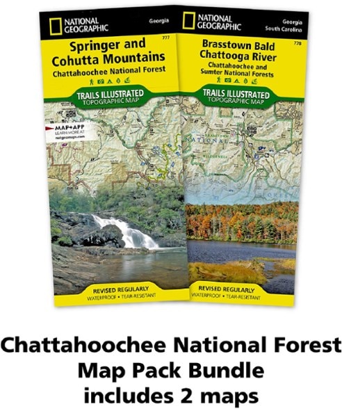
National Geographic Chattahoochee Topographic Map Pack
Trails Illustrated Chattahoochee topographic map pack offers 2 titles for Chattahoochee National Forest, covering the Appalachian Trail's south end and an abundance of recreational opportunities.
- Highlights include the southern terminus of the Appalachian Trail, Russell-Brasstown Scenic Byway and Cohutta, Raven Cliffs and Rich Mountain wilderness areas
- Also includes White Rock Scenic Area, Brasstown, Ellicot Rock, Southern Nantahala, Tray Mountain and Chattooga Wild and Scenic River
- Easy-to-read, yet highly detailed map shows comprehensive trail and road networks, along with designated trails for hiking, horseback riding, biking and more
- Clearly marked navigational aids with UTM coordinate grids, scale bar and full legend, essential for safely navigating the backcountry with GPS or compass
- Features key points of interest such as scenic views, campgrounds, trailheads, boat launches and picnic sites
- Color-coded boundaries for public lands including national parks, national forests, national monuments, ranger districts, wilderness areas, state parks and wildlife refuges
- Printed in the USA on durable, lightweight, waterproof and tear-resistant material designed to withstand all weather conditions
- 1:70,000 scale
- Folded dimensions: 4.25 x 9.25 in.; unfolded dimensions: 37.75 x 25.5 in.
- National Geographic Maps; copyright 2009
Made in USA.
View the National Geographic Trails Illustrated Product LineView all National Geographic Southeast Maps| Best Use | Hiking |
|---|---|
| State / Province | Georgia |
| Map Number | 777-778 |
Write a Review
Adding a review will require a valid email for verification
Great map, not so easy to find towns.
Good map for finding recreation sites or when exploring out of cell phone range. Lots of detail printed on weather resistant paper, but these details kind of melt into the low contrast graphic design. It’s hard to pinpoint locations, like towns, that would orient where you are on the map. And roads melt into the background. Still, it’s the best bet for anyone who needs a paper map.

