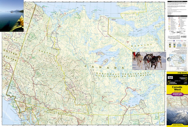
National Geographic Canada West Adventure Travel Map
The National Geographic Canada West Adventure Travel map lets you plan your trip and explore the majestic wonders of Alberta, British Columbia, the Yukon and Northwest Territories.
- Full-color map features accurate topography, useful guide information and detailed road networks to get you to your destination with informed confidence
- Includes Banff and Pacific Rim national parks, Lake Louise, Vancouver, Whistler and the Klondike
- Printed on waterproof, tear-resistant paper for durability
- Scale of 1:2,100,000
- Folded map measures 9.25 x 4.25 in.; opens to 38 x 25.5 in.
- National Geographic Society; copyright 2013
Made in USA.
View all National Geographic Canada Maps| Best Use | Travel |
|---|---|
| State / Province | British Columbia Alberta |
Write a Review
Adding a review will require a valid email for verification
Lacks data density
I bought this map for our trip to Alaska, but was disappointed with the lack of data needed to make decisions on the trip. There is no attempt to show the campsites. There is clearly space on the map for such information. While this is a pretty map for armchair travelers, you will quickly find you will use other maps to take your journey. I suggest you save the money and go find the other maps first.
Good planning map!
I’ve made multiple trips up and down both the Alcan & Cassiar Hwys, and have found this to be a very useful map for both planning and enroute. When people people ask me for advice on planning a drive to/from Alaska I recommend this map, together with a copy of the “Milepost” book (which has all the detail one could possibly want).
Get all of the info possible before leaving home
Use with other reference maps of Canada for planning driving trip next spring to Alaska.
West Canada Map
West Canada map for viewing various places I would like to see when I can get away

